MyTopo
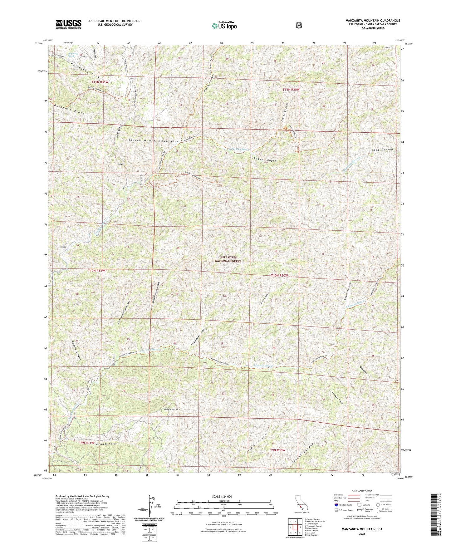
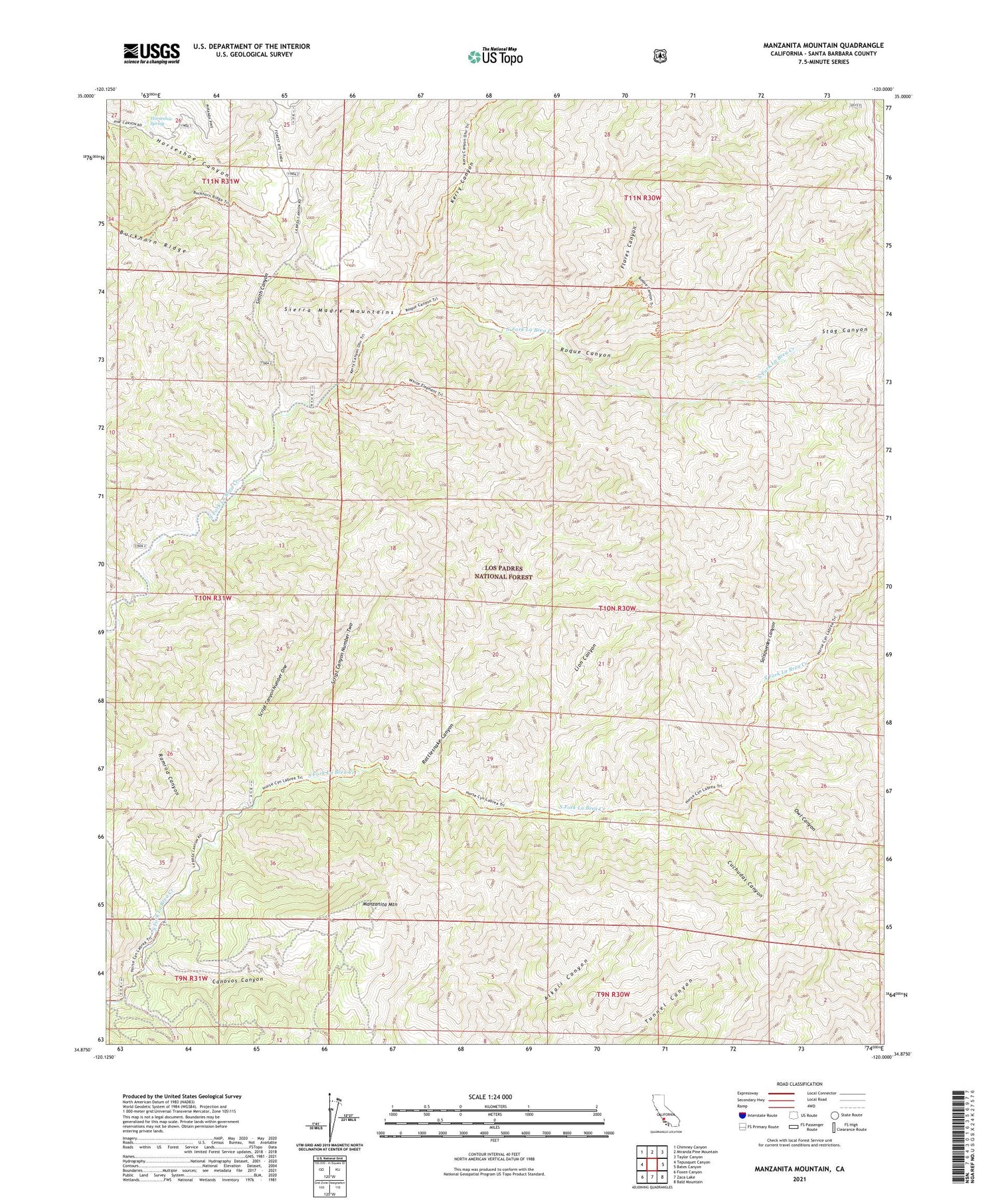
Manzanita Mountain California US Topo Map
Couldn't load pickup availability
Also explore the Manzanita Mountain Forest Service Topo of this same quad for updated USFS data
2021 topographic map quadrangle Manzanita Mountain in the state of California. Scale: 1:24000. Based on the newly updated USGS 7.5' US Topo map series, this map is in the following counties: Santa Barbara. The map contains contour data, water features, and other items you are used to seeing on USGS maps, but also has updated roads and other features. This is the next generation of topographic maps. Printed on high-quality waterproof paper with UV fade-resistant inks.
Quads adjacent to this one:
West: Tepusquet Canyon
Northwest: Chimney Canyon
North: Miranda Pine Mountain
Northeast: Taylor Canyon
East: Bates Canyon
Southeast: Bald Mountain
South: Zaca Lake
Southwest: Foxen Canyon
Contains the following named places: Buckhorn Ridge, Canovos Canyon, Chuchudas Campground, Cuchudas Canyon, Flores Canyon, Hiawatha Campground, Horseshoe Spring, Jesse Campground, Kerry Canyon, Kerry Canyon Campground, Lazy Campground, Lion Canyon, Manzanita Mountain, Owl Canyon, Ramrod Canyon, Rattlesnake Canyon, Roque Campground, Roque Canyon, Salsipuedes Canyon, Script Canyon Number One, Script Canyon Number Two, Smith Canyon, Stag Canyon, Wagon Flat Campground, White Elephant Mine