MyTopo
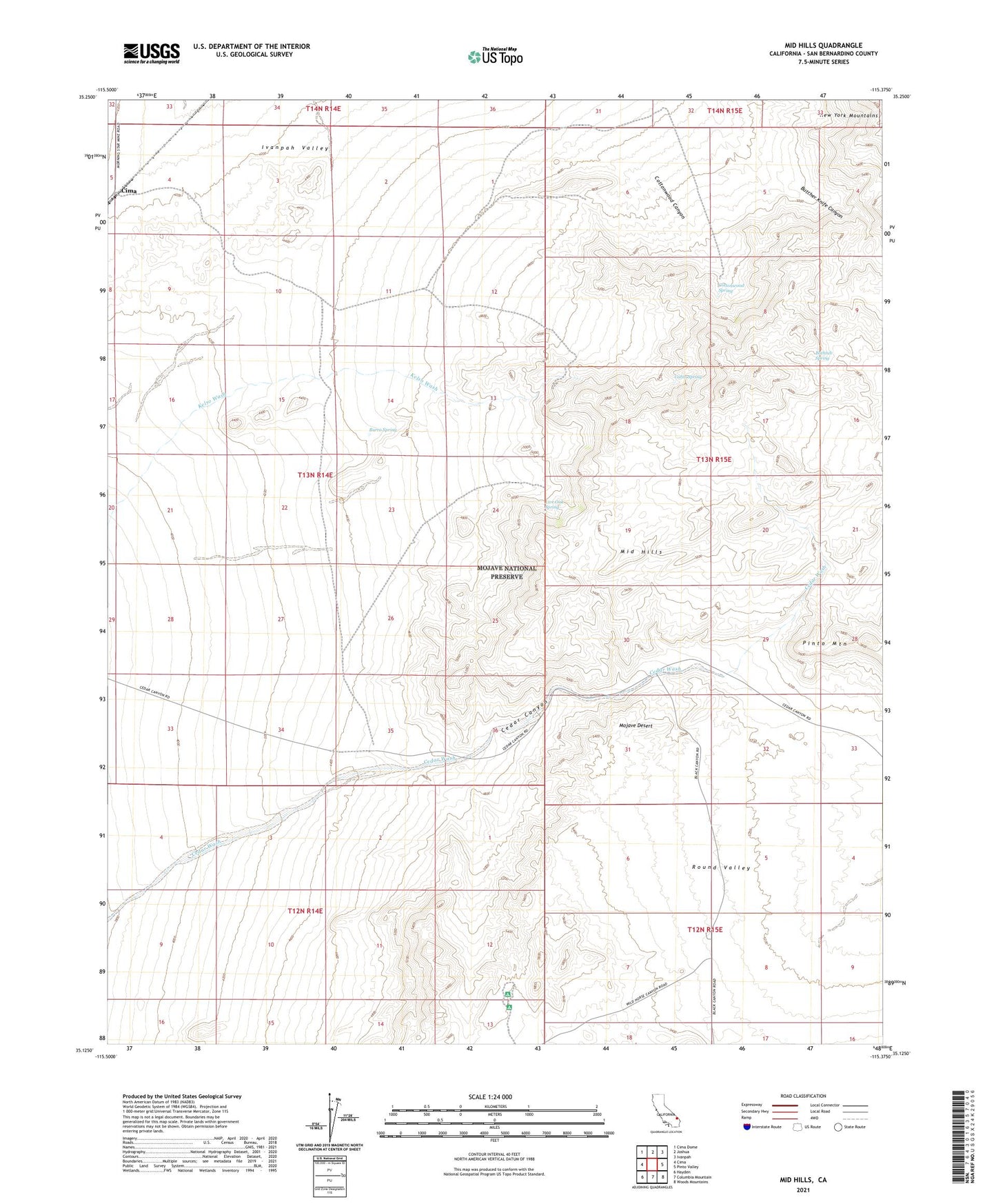
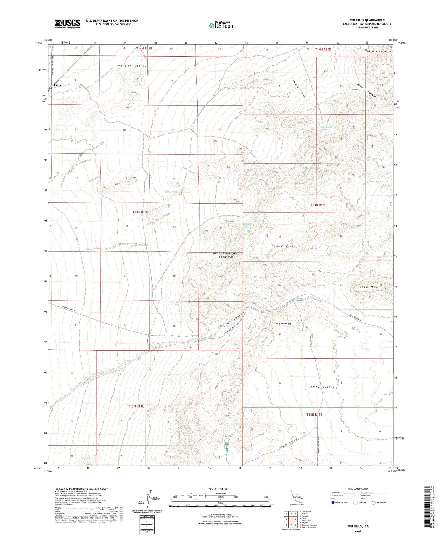
Mid Hills California US Topo Map
Couldn't load pickup availability
2021 topographic map quadrangle Mid Hills in the state of California. Scale: 1:24000. Based on the newly updated USGS 7.5' US Topo map series, this map is in the following counties: San Bernardino. The map contains contour data, water features, and other items you are used to seeing on USGS maps, but also has updated roads and other features. This is the next generation of topographic maps. Printed on high-quality waterproof paper with UV fade-resistant inks.
Quads adjacent to this one:
West: Cima
Northwest: Cima Dome
North: Joshua
Northeast: Ivanpah
East: Pinto Valley
Southeast: Woods Mountains
South: Columbia Mountain
Southwest: Hayden
This map covers the same area as the classic USGS quad with code o35115b4.
Contains the following named places: Bathtub Spring, Burro Spring, Butcher Knife Canyon, Cabin Spring, Cedar Canyon, Cima, Cottonwood Canyon, Cottonwood Spring, Death Valley Mine, Holliman Well, Leppy Water Tank, Live Oak Spring, Mid Hills, Mid Hills Campground, Thomas Place