MyTopo
Montara Mountain OE W California US Topo Map
Couldn't load pickup availability
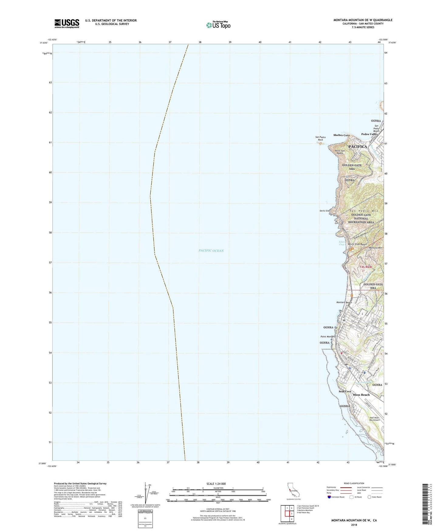
2021 topographic map quadrangle Montara Mountain OE W in the state of California. Scale: 1:24000. Based on the newly updated USGS 7.5' US Topo map series, this map is in the following counties: San Mateo. The map contains contour data, water features, and other items you are used to seeing on USGS maps, but also has updated roads and other features. This is the next generation of topographic maps. Printed on high-quality waterproof paper with UV fade-resistant inks.
Quads adjacent to this one:
North: San Francisco South OE W
Northeast: San Francisco South
East: Montara Mountain
Southeast: Half Moon Bay
Contains the following named places: Church of Christ, Coastside Fire Protection District Station 44, Devils Slide, Devils Slide Beach, Edun Cove, Farallone View Elementary School, Gray Whale Cove State Beach, Green Valley, James V Fitzgerald Marine Reserve, Linda Mar Shopping Center, Martini Creek, McNee Ranch, McNee Ranch State Park, Montara, Montara Beach, Montara Post Office, Montara State Beach, Moss Beach, Moss Beach Census Designated Place, Moss Beach Post Office, Pedro Point Shopping Center, Point Montara, Point Montara Light Station, Point San Pedro, Portola Expedition Historical Marker, San Mateo County Sheriff's Office Moss Beach Substation, San Pedro Beach, San Pedro Creek, San Pedro Mountain, San Pedro Rock, San Pedro Terrace, San Pedro Valley, San Vicente Creek, Seal Cove, Seton Medical Center Coastside, Shelter Cove, Whaleman Harbor, ZIP Code: 94038