MyTopo
Montara Mountain California US Topo Map
Couldn't load pickup availability
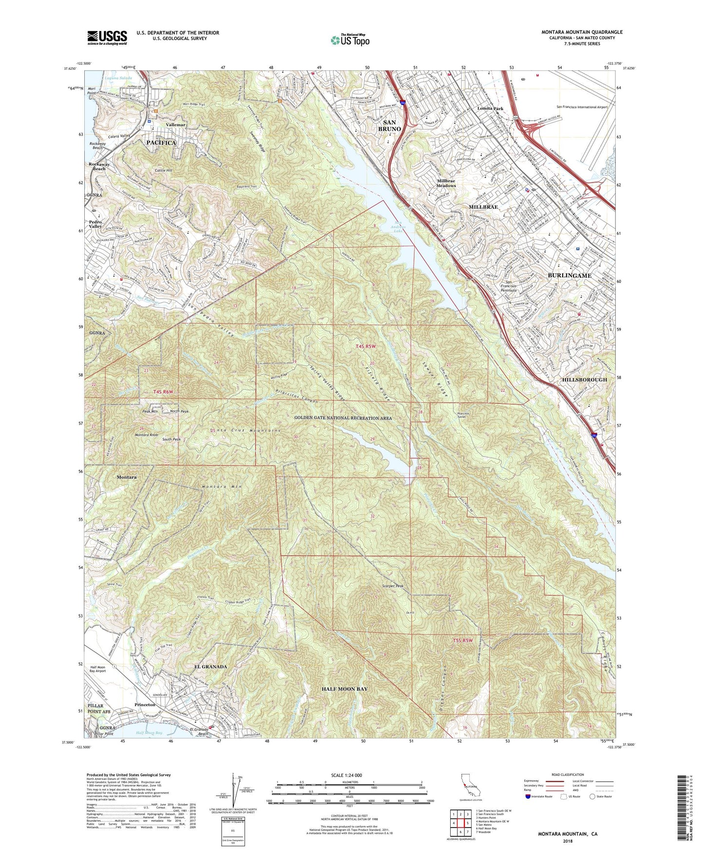
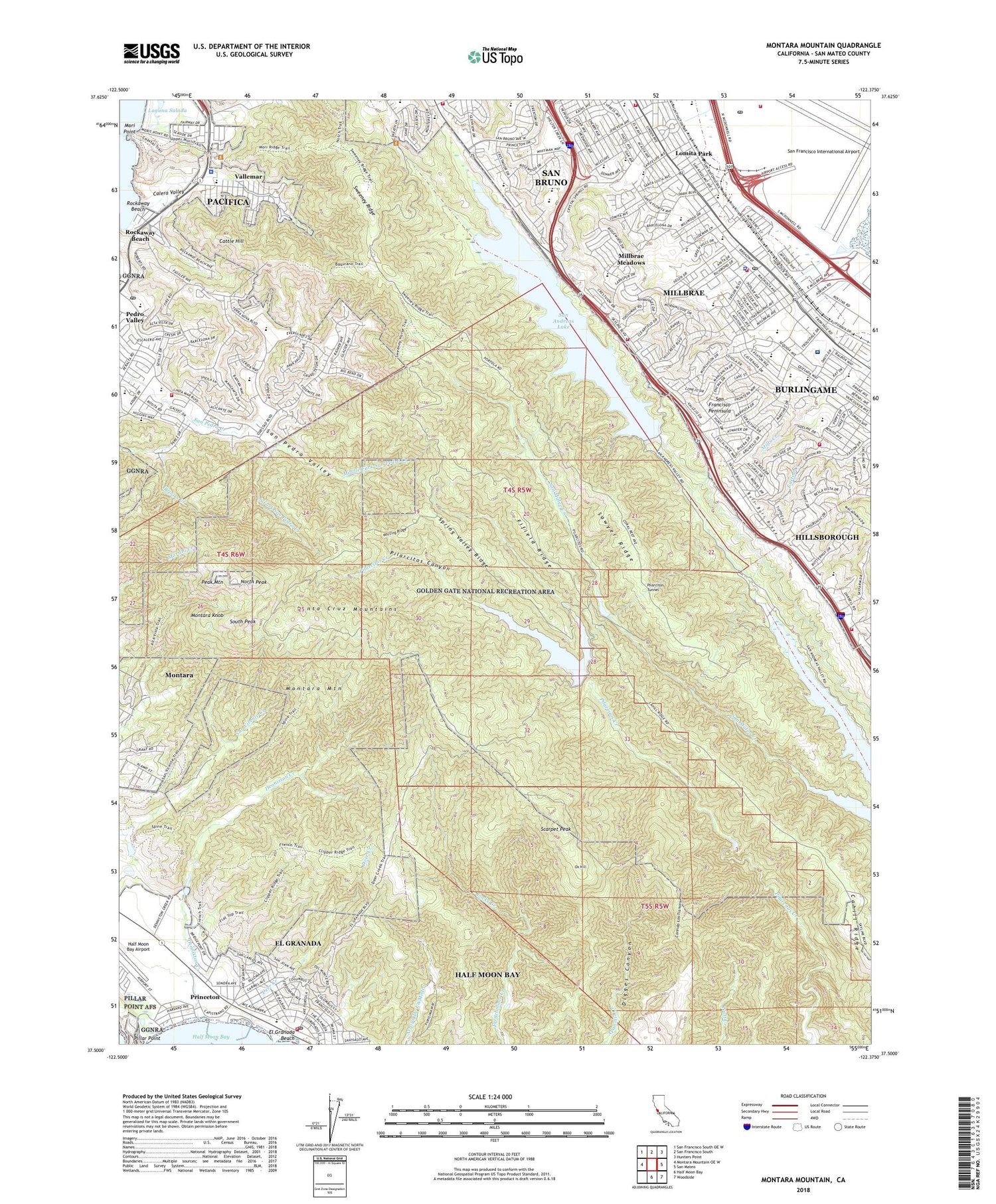
2022 topographic map quadrangle Montara Mountain in the state of California. Scale: 1:24000. Based on the newly updated USGS 7.5' US Topo map series, this map is in the following counties: San Mateo. The map contains contour data, water features, and other items you are used to seeing on USGS maps, but also has updated roads and other features. This is the next generation of topographic maps. Printed on high-quality waterproof paper with UV fade-resistant inks.
Quads adjacent to this one:
West: Montara Mountain OE W
Northwest: San Francisco South OE W
North: San Francisco South
Northeast: Hunters Point
East: San Mateo
Southeast: Woodside
South: Half Moon Bay
This map covers the same area as the classic USGS quad with code o37122e4.
Contains the following named places: Adobe Plaza Shopping Center, Airport Mail Center Post Office, Alma Heights Christian Academy, Baquaiano Trail, Bayside Park, Belle Air Elementary School, Belle Air Park, Bethany Baptist Church, Brooks Creek, Brooks Falls Overlook Trail, Buckeye Park, Buri Buri, Buri Buri Ridge, Burlingame 2014-002 Dam, Burlingame Intermediate School, Burlingame Plaza Shopping Center, Cabrillo Elementary School, Cahill Ridge, Calera Creek Park, Calera Valley, Calvary Lutheran Church, Calvary Lutheran Pre-School, Capuchino High School, Cattle Hill, Central County Fire Department Station 33, Central County Fire Department Station 35, Central Park, Church of the Blessed Sacrament, Church of the Highlands, City of Millbrae, City of Pacifica, Coastside Fire Protection District Station 41, Community Methodist Church, Cooper Field, Corinda Los Trancos, Corral De Tierra, Crespi Shopping Center, Crestmoor Elementary School, Crystal Springs Golf Course, Cuernavaca Park, Decima M Allen Elementary School, Deer Creek, Denniston Creek, Edgemont School, El Crystal Elementary School, El Granada, El Granada Beach, El Granada Census Designated Place, El Granada Mobile Home Park, El Granada Post Office, English As a Second Language Institute, Fairway Park, Feliz, Fifield Ridge, First Baptist Church, First Church of Christ Scientist, Franklin Elementary School, Friendship Plaza Shopping Center, Glen Oaks Montessori School, Glenview Park, Green Hills Country Club, Green Hills Elementary School, Green Hills Park, Grundy Park, Half Moon Bay Airport, Happy Hall School, Hazelnut Trail, Highlands Christian Schools, Highlands Elementary School, Hillsborough, Holy Cross Lutheran Church, Hoover Childrens Center, Hoover Elementary School, Hoover Playground, John Muir Elementary School, Kingdom Hall of Jehovahs Witnesses, Lighthouse Christian Fellowship Church, Lincoln Elementary School, Linda Mar, Linda Mar Educational Center, Linda Mar Post Office, Lions Park, Locks Creek, Lomita Park, Lomita Park Elementary School, Marina Vista Park, Meadows Elementary School, Mercy High School, Middle Fork San Pedro Creek, Mildred Owen Concert Hall, Millbrae, Millbrae Branch San Mateo County Library, Millbrae City Hall, Millbrae Community Church, Millbrae Fire Department Main Station 37, Millbrae Fire Department Station 38, Millbrae Meadows, Millbrae Meadows Park, Millbrae Montessori School, Millbrae Nursery School, Millbrae Police Department, Millbrae Post Office, Millbrae Serra Sanitarium, Millbrae Square Shopping Center, Millbrae United Methodist Church, Millbrae Water Pollution Control Plant, Mills Creek Canyon Park, Mills Estate Park, Mills High School, Mills Montessori School, Mllbrae Bible Church, Montara Census Designated Place, Montara Knob, Montara Mountain, Montessori School of Linda Mar, Mori Point, Mori Ridge Trail, Nike Site SF-51C, North County Fire Authority Station 72, North Fork San Pedro Creek, North Park, North Peak, Oddstad City Park, Oddstad Elementary School, Old Trout Farm Trail, Ortega Middle School, Our Lady of Lebanon Eastern Catholic Church, Ox Hill, Ox Mountain Sanitary Landfill, Pacifica, Pacifica Christian Church, Pacifica Police Department, Park Pacifica Shopping Center, Parkside Intermediate School, Peak Mountain, Pedro Valley, Peninsula Alternative High School, Peninsula Hospital Health Sciences Library, Peninsula Hospital Heliport, Peninsula Temple Sholom, Pilarcitos 10-008 Dam, Pilarcitos Lake, Pilarcitos Tunnel, Plaskon Nature Trail, Portola Elementary School, Portola Expedition Historical Marker, Portola Highlands Plaza Shopping Center, Princeton, Ray Park, Rockaway Beach, Rockaway Beach Shopping Center, Rotary Park, Saint Andrew Presbyterian Church of Pacifica, Saint Andrews Episcopal Church, Saint Andrews Episcopal Church of Millbrae-San Bruno, Saint Dunstan Catholic School, Saint Dunstans Roman Catholic Church, Saint Johns Evangelical Church, Saint Pauls Episcopal Church, Saint Peters Church, Saint Robert Catholic School, San Agustin Creek, San Andreas 10-010 Dam, San Andreas Creek, San Andreas Lake, San Bruno City Hall, San Bruno Fire Department Station 51, San Bruno Fire Department Station 52, San Francisco Bay Discovery Site, San Francisco International Airport, San Francisco International Airport Fire Department Station 1, San Francisco Peninsula, San Francisco State Fish and Game Refuge, San Mateo Union High School Community Day, San Pedro, San Pedro Valley County Park, Sanchez Adobe, Sanchez Adobe Museum, Sanchez Branch San Mateo County Library, Sanchez Park, Sanchez School, Sawyer Ridge, Scarpet Peak, Schultz Park, Sharp Park, Sharp Park Golf Course, Shinnyo-En California Buddhist Temple, Sisters of Mercy, Skycrest Shopping Center, Skyline Park, South Fork San Pedro Creek, South Peak, Spencer Lake, Spring Valley Elementary School, Spring Valley Ridge, Stone Dam Reservoir, Sutter Health Mills - Peninsula Medical Center, Sweeney Ridge, Sweeney Ridge Trail, Taylor Middle School, Terminal 1, Terminal 2, Terminal 3, Terra Nova High School, The Church of Jesus Christ of Latter Day Saints, The Nueva School, The Wilkinson School, Tonini Field, Trout Farm Picnic Area, Vallemar, Vallemar Elementary School, Vallemar Shopping Center, Valley View Trail, Vista Del Mar Baptist Church, Walnut Grove Group Picnic Area, Waugh Park, Weiler Ranch Road Trail, White Field Park, Whiting Ridge, ZIP Codes: 94030, 94037, 94044


