MyTopo
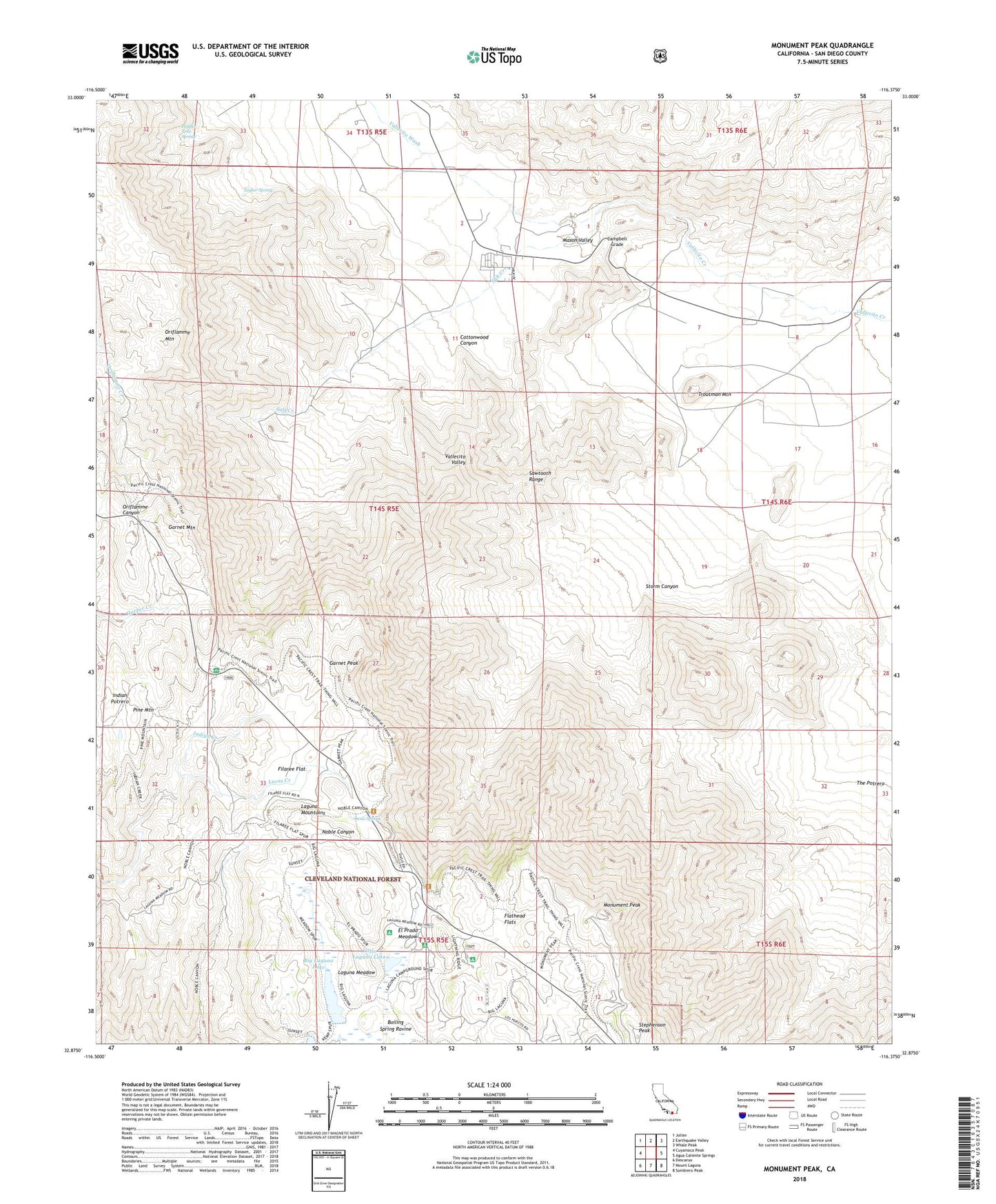
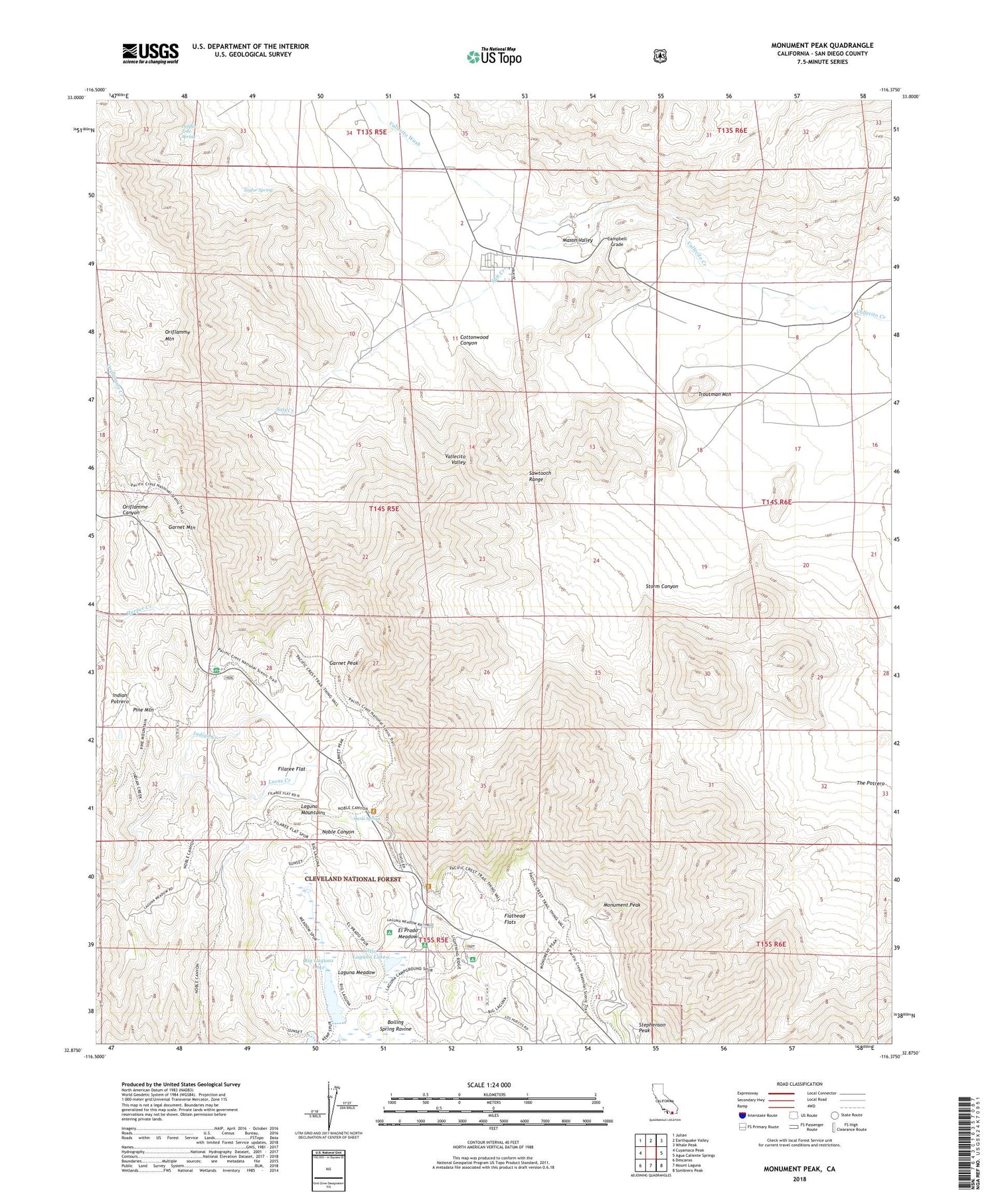
Monument Peak California US Topo Map
Couldn't load pickup availability
Also explore the Monument Peak Forest Service Topo of this same quad for updated USFS data
2021 topographic map quadrangle Monument Peak in the state of California. Scale: 1:24000. Based on the newly updated USGS 7.5' US Topo map series, this map is in the following counties: San Diego. The map contains contour data, water features, and other items you are used to seeing on USGS maps, but also has updated roads and other features. This is the next generation of topographic maps. Printed on high-quality waterproof paper with UV fade-resistant inks.
Quads adjacent to this one:
West: Cuyamaca Peak
Northwest: Julian
North: Earthquake Valley
Northeast: Whale Peak
East: Agua Caliente Springs
Southeast: Sombrero Peak
South: Mount Laguna
Southwest: Descanso
This map covers the same area as the classic USGS quad with code o32116h4.
Contains the following named places: Al Bahr Shrine Camp, Big Laguna Lake, Boiling Spring Pump, Boiling Spring Ravine, Camp Ole, Camp Ole Station, Campbell Grade, Campbell Ranch, Chula Vista Reservoir, Cottonwood Canyon, El Prado Campground, EL Prado Group Camp, El Prado Meadow, Filaree Flat, Flathead Flats, Garnet Information Center, Garnet Mountain, Garnet Peak, Garnet Peak Trail, Hawi-Vallecito Cultural Preserve, Horse Heaven Group Camp, Indian Potrero, Laguna Campground, Laguna Indian Reservation, Laguna Meadow, Laguna Work Center, Little Laguna Lake, Los Huecos Reservoir, Lucas Creek, Mason Valley, Monument Peak, Mount Laguna Air Force Station, Noble Mine, Oasis Spring, Oriflamme Mountain, Penny Pines Interpretive Site, Pepper Tree Spring, Pine Mountain, Pioneer Mail, Rancho Vallecito Airport, Salt Creek, Sawtooth Range, Sierra Club Guymon Lodge, Stephenson Peak, Storm Canyon, Storm Canyon Vista Trailhead, Sundown Mine, Taylor Spring, The Potrero, Troutman Mountain, Vallecito Wash, Witches Broom Trail


