MyTopo
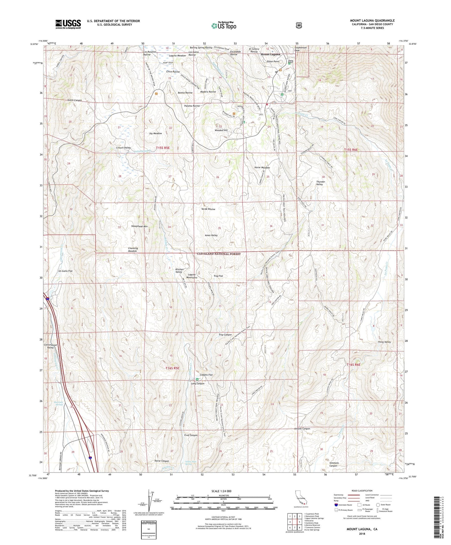
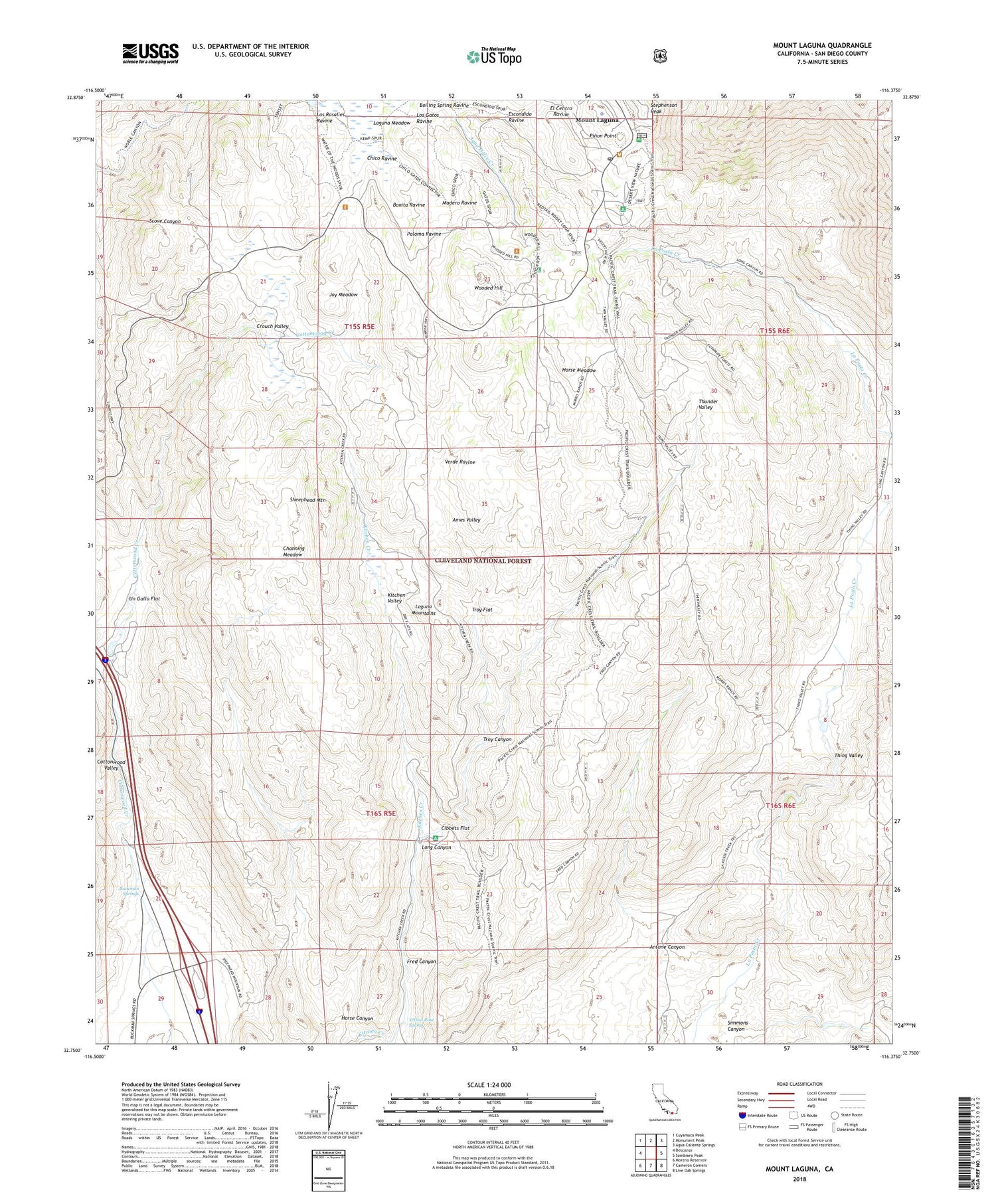
Mount Laguna California US Topo Map
Couldn't load pickup availability
Also explore the Mount Laguna Forest Service Topo of this same quad for updated USFS data
2021 topographic map quadrangle Mount Laguna in the state of California. Scale: 1:24000. Based on the newly updated USGS 7.5' US Topo map series, this map is in the following counties: San Diego. The map contains contour data, water features, and other items you are used to seeing on USGS maps, but also has updated roads and other features. This is the next generation of topographic maps. Printed on high-quality waterproof paper with UV fade-resistant inks.
Quads adjacent to this one:
West: Descanso
Northwest: Cuyamaca Peak
North: Monument Peak
Northeast: Agua Caliente Springs
East: Sombrero Peak
Southeast: Live Oak Springs
South: Cameron Corners
Southwest: Morena Reservoir
This map covers the same area as the classic USGS quad with code o32116g4.
Contains the following named places: Agua Dulce Campground, Agua Dulce Creek, Agua Dulce Well, Ames Valley, Antone Canyon, Aqua Dulce, Bonita Ravine, Buckman Springs, Buckman Springs Information Site, Burnt Rancheria Campground, Channing Meadow, Chico Ravine, Cibbets Flat, Cibbets Flat Campground, Crouch Ranch, Crouch Valley, Cuyapaipe Reservoir, Desert View Interpretive Trail, Desert View Picnic Site, El Centro Ravine, Escondido Ravine, Ewiiaapaayp Reservation, Flinn Ranch, Fred Canyon, Glen Cliff Fire Station, Glencliff Public Camp, Horse Canyon, Horse Meadow, Indian Hill Nature Trail, Joy Meadow, Kitchen Valley, Laguna Mountain Observatory, Laguna Mountain Volunteer Association, Laguna Mountains, Laguna Ranch, Laguna Recreation Area, Long Canyon, Los Gatos Ravine, Los Rasalies Ravine, Madero Ravine, Meadows Information Center, Morris Ranch, Mount Laguna, Mount Laguna Census Designated Place, Mount Laguna Post Office, Mount Laguna School, Ole Reservoir, Paloma Ravine, Pinon Point, Red-tailed Roost Volunteer Headquarters, Rodeo Grounds, San Diego County Fire Station 49 Mount Laguna, Sheephead Mountain, Simmons Canyon, Star Party Trail, Thing Ranch, Thing Valley, Thing Valley 856 Dam, Thunder Valley, Troy Canyon, Troy Flat, Un Gallo Flat, Verde Ravine, Wooded Hill, Wooded Hill Group Camp, Yellow Rose Spring, ZIP Code: 91948


