MyTopo
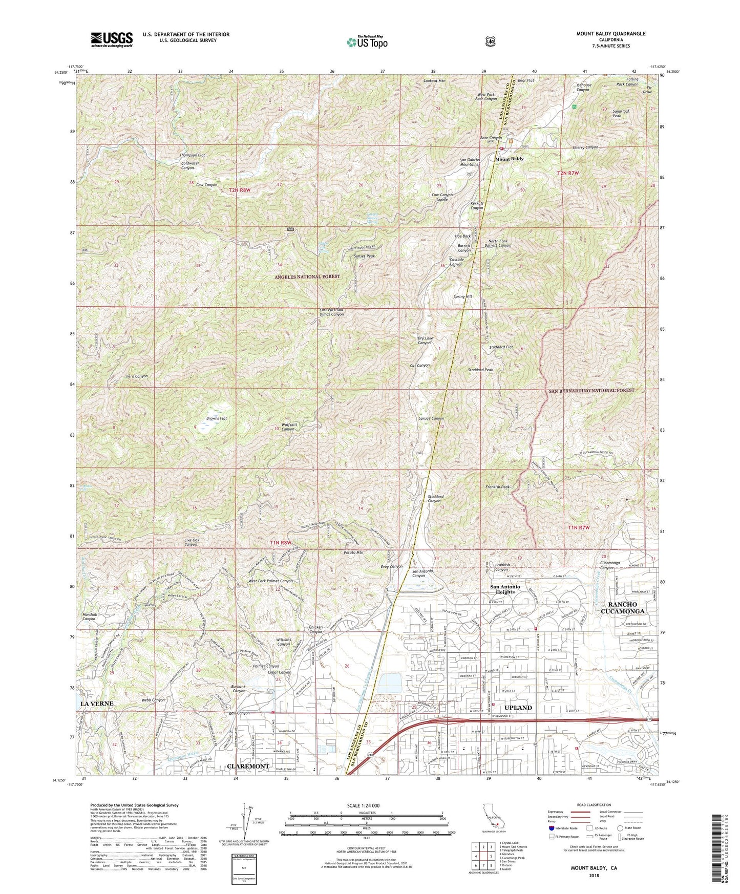
Mount Baldy California US Topo Map
Couldn't load pickup availability
Also explore the Mount Baldy Forest Service Topo of this same quad for updated USFS data
2021 topographic map quadrangle Mount Baldy in the state of California. Scale: 1:24000. Based on the newly updated USGS 7.5' US Topo map series, this map is in the following counties: Los Angeles, San Bernardino. The map contains contour data, water features, and other items you are used to seeing on USGS maps, but also has updated roads and other features. This is the next generation of topographic maps. Printed on high-quality waterproof paper with UV fade-resistant inks.
Quads adjacent to this one:
West: Glendora
Northwest: Crystal Lake
North: Mount San Antonio
Northeast: Telegraph Peak
East: Cucamonga Peak
Southeast: Guasti
South: Ontario
Southwest: San Dimas
Contains the following named places: Alta Loma Christian Church, Barrett Canyon, Bear Canyon, Browns Flat, Burbank Canyon, Cascade Canyon, Cat Canyon, Cherry Canyon, Chicken Canyon, City of Claremont, Cobal Canyon, Coldwater Canyon, Coldwater Canyon Truck Trail, Confluence Park, Cow Canyon, Cow Canyon Saddle, Cucamonga, Cucamonga Canyon, Cucamonga Guard Station, Dells, Desilting Basin 3 87-002 Dam, Desilting Basin G 87-003 Dam, Dry Lake Canyon, Evey Canyon, Fallen Leaf Spring, Falling Rock Canyon, Fern Canyon, Fern Canyon Trail, Fir Draw, Fire Station Park, Forked Spruce Spring, Frankish Canyon, Frankish Peak, Gail Canyon, Girls Collegiate School, Higginbotham Park, Hog Back, Icehouse Canyon, Jaeger Park, KAGL-TV (San Bernardino), KDOC-TV (Anaheim), Kerkoff Canyon, KRCA-TV (Riverside), KSCI-TV (San Bernardino), La Puerta Sports Park, Live Oak Canyon Dam, Lookout Mountain, Los Angeles County Fire Department Station 62, Lower San Antonio Station, Marshall Canyon, Marshall Canyon Golf Course, Marshall Canyon Regional Park, Monta Vista Resort, Mount Baldy, Mount Baldy Elementary School, Mount Baldy Forest Service Facility, Mount Baldy Visitor Information Station, Mt Baldy Post Office, North Fork Barrett Canyon, Padua Hills Theater, Palmer Canyon, Pepper Tree Elementary School, Pioneer Junior High School, Pioneer Park, Potato Mountain, Saint George Orthodox Church, San Antonio Canyon, San Antonio Dam, San Antonio Heights, San Antonio Heights Census Designated Place, San Antonio Heights Community Church, San Antonio Park, San Bernardino County Fire Department Station 12 Upland, San Bernardino County Fire Department Station 200 - Mount Baldly, San Bernardino Fire Department Station 164, Scudder Oaks School, Spring Hill, Spruce Canyon, Stoddard Canyon, Stoddard Flat, Stoddard Peak, Sugarloaf Peak, Sunset Peak, Sunset Peak Lookout, Sycamore Canyon Park, Thompson Creek, Thompson Creek Dam, Thompson Flat, Thompson Ranch, Upland Fire Department Station 162, Vail Park, Valencia Elementary School, Webb School, West Cucamonga Truck Trail, West Fork Bear Canyon, West Fork Palmer Canyon, West Fork Trail, Williams Canyon, Wolfskill Falls, ZIP Codes: 91711, 91784


