MyTopo
Crystal Lake California US Topo Map
Couldn't load pickup availability
Also explore the Crystal Lake Forest Service Topo of this same quad for updated USFS data
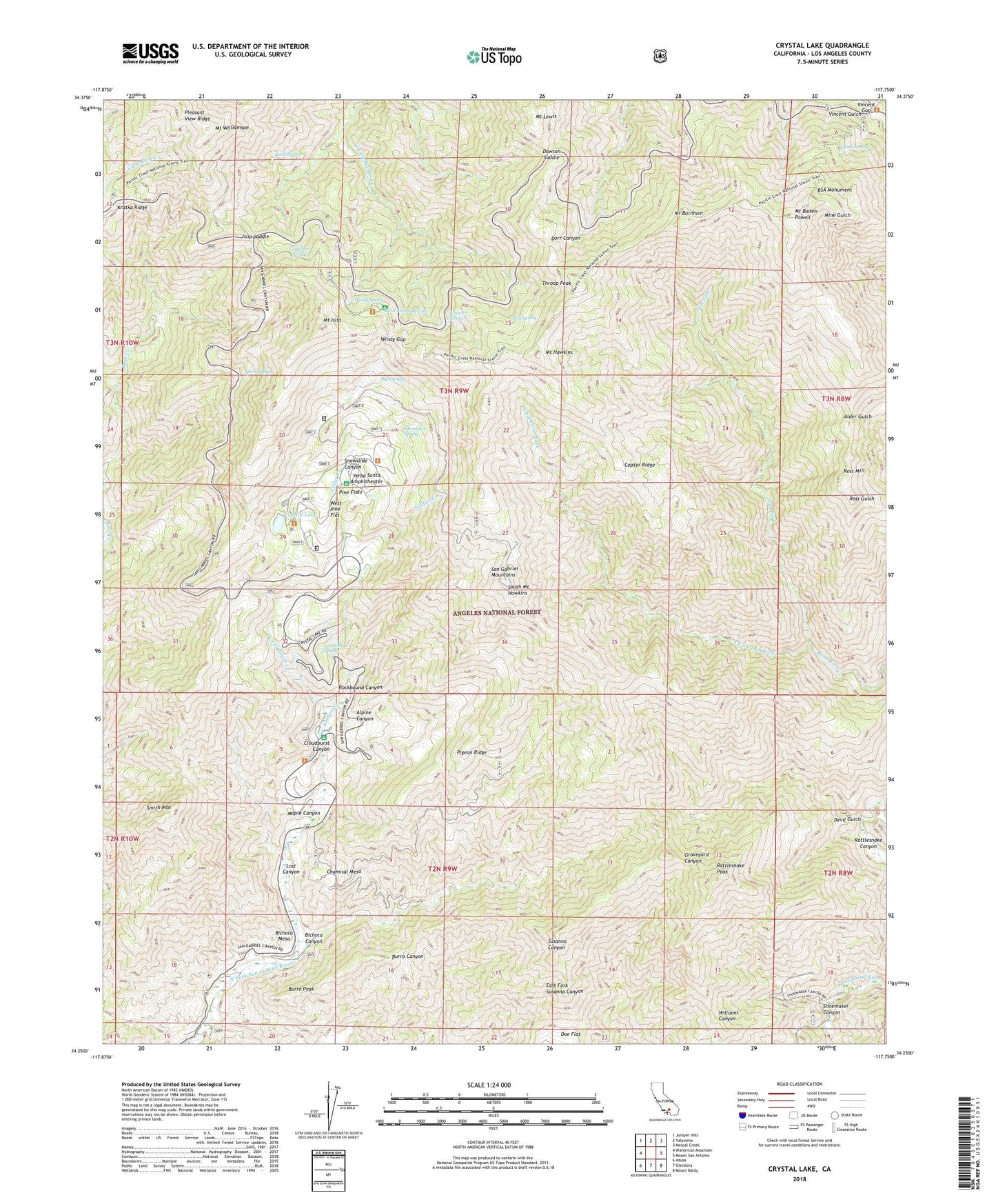
2021 topographic map quadrangle Crystal Lake in the state of California. Scale: 1:24000. Based on the newly updated USGS 7.5' US Topo map series, this map is in the following counties: Los Angeles. The map contains contour data, water features, and other items you are used to seeing on USGS maps, but also has updated roads and other features. This is the next generation of topographic maps. Printed on high-quality waterproof paper with UV fade-resistant inks.
Quads adjacent to this one:
West: Waterman Mountain
Northwest: Juniper Hills
North: Valyermo
Northeast: Mescal Creek
East: Mount San Antonio
Southeast: Mount Baldy
South: Glendora
Southwest: Azusa
This map covers the same area as the classic USGS quad with code o34117c7.
Contains the following named places: Alexander Spring, Alpine Canyon, Bear Creek Trail, Bichota Canyon, Bichota Mesa, Big Cienega, BSA Monument, Burro Peak, Cedar Creek, Chamisal Mesa, Cloudburst Canyon, Coldbrook Campground, Coldbrook Creek, Coldbrook Guard Station, Copter Ridge, Cortelyou Spring, Crystal Lake, Crystal Lake Guard Station, Crystal Lake Recreation Area, Dawson Saddle, Dawson Saddle Trail, Deer Flat Campground, Devil Gulch, Falling Springs, Golden Cup Oaks Plantation, Islip Saddle, Islip Trailhead, Jarva Memorial Vista, Johnson Corner, La Cienega Spring, Lamel Spring, Lily Spring, Little Jimmy Campground, Little Jimmy Spring, Lodgepole Picnic Area, Lost Canyon, Maple Canyon, Mount Baden-Powell, Mount Burnham, Mount Hawkins, Mount Islip, Mount Lewis, Mount Williamson, Pigeon Ridge, Pigeon Target Shooting Area, Pine Flats, Pine Hollow Picnic Area, Pinyon Trail, Rattlesnake Canyon, Rattlesnake Peak, Reed Spring, Rockbound Canyon, Ross Mountain, Shoemaker Canyon, Smith Mountain, Snow Spring, Snowslide Canyon, Soldier Creek, South Fork Iron Fork, South Mount Hawkins, South Mount Hawkins Lookout, Tecolate Plantation, Throop Peak, Valley of the Moon Plantation, Vincent Gap, Wawona Lodge, West Pine Flat, White Fir Spring, Windy Gap, Windy Spring, Yerba Santa Amphitheater, ZIP Code: 91702


