MyTopo
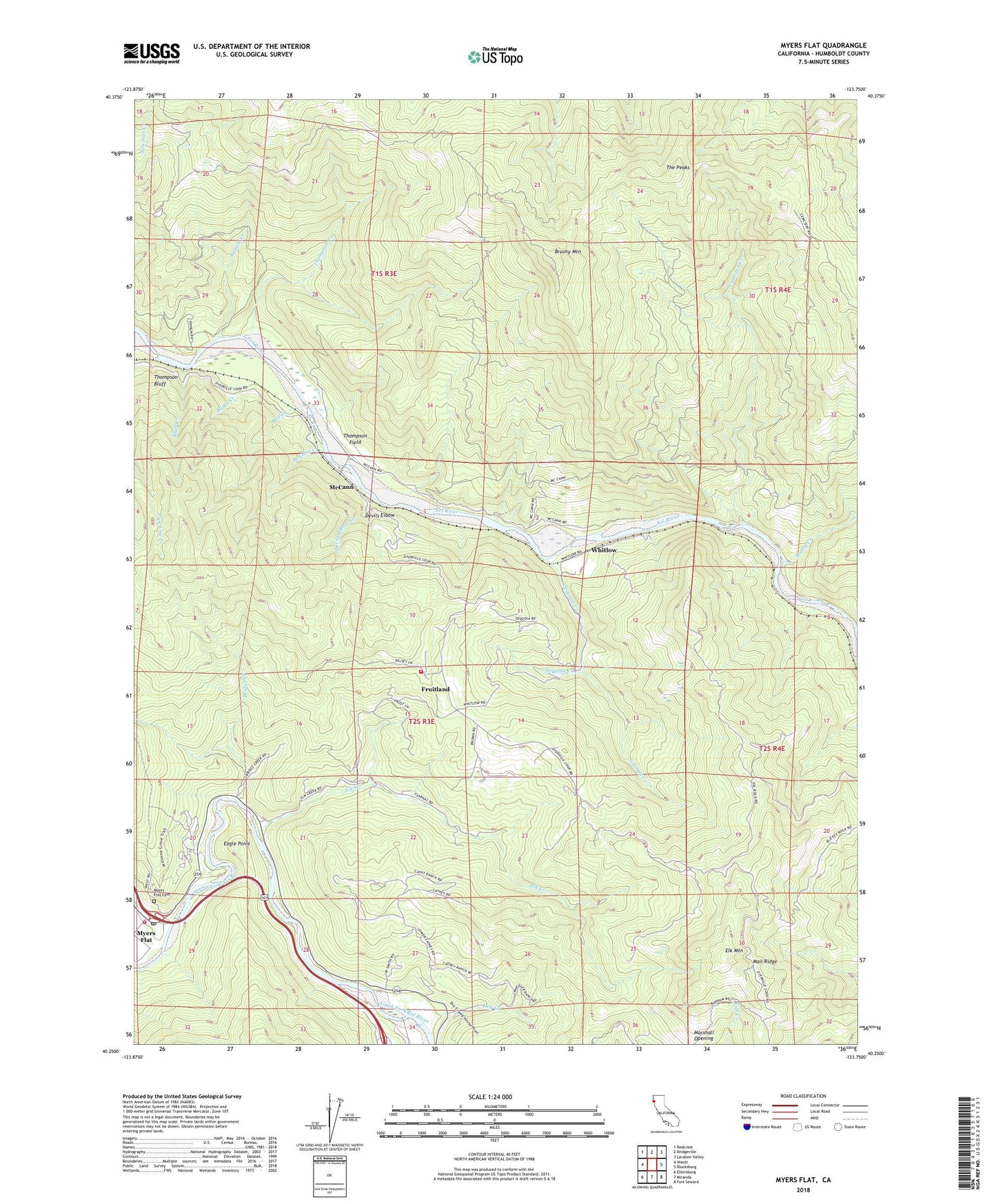
Myers Flat California US Topo Map
Couldn't load pickup availability
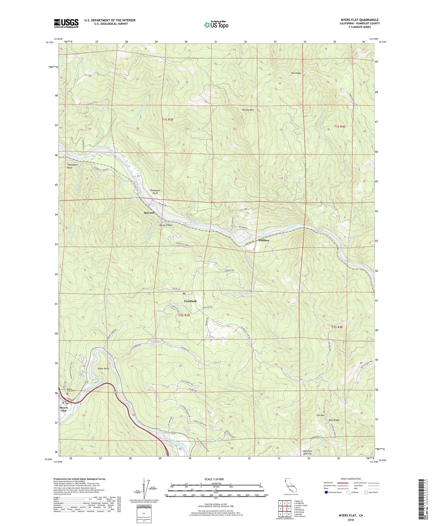
2022 topographic map quadrangle Myers Flat in the state of California. Scale: 1:24000. Based on the newly updated USGS 7.5' US Topo map series, this map is in the following counties: Humboldt. The map contains contour data, water features, and other items you are used to seeing on USGS maps, but also has updated roads and other features. This is the next generation of topographic maps. Printed on high-quality waterproof paper with UV fade-resistant inks.
Quads adjacent to this one:
West: Weott
Northwest: Redcrest
North: Bridgeville
Northeast: Larabee Valley
East: Blocksburg
Southeast: Fort Seward
South: Miranda
Southwest: Ettersburg
This map covers the same area as the classic USGS quad with code o40123c7.
Contains the following named places: Beatty Creek, Bell Creek, Blair Grove, Bloyd Creek, Bluff Creek, Bolling Grove, Bridge Creek, Brushy Mountain, Cameron Creek, Devils Elbow, Devils Elbow Creek, Dry Creek, Eagle Point, Edson Grove, Elk Creek, Elk Creek Maintenance Station, Elk Mountain, Elk Prairie, Excelsior School, Felton Grove, Fruitland, Fruitland Church, Fruitland Volunteer Fire Company, Gravers Grove, Hickey Grove, Hidden Springs Campground, Hidden Springs Trail, Honor Grove, Jensen Grove, Kapple Creek, Kenteschobe, Lansdale Grove, Massachusetts Grove, McCann, McCann Creek, Myers Flat, Myers Flat Cemetery, Myers Flat Census Designated Place, Myers Flat Fire Protection District, Myers Flat Post Office, Nelson Grove, Pioneers Grove, Robinson Grove, Sequoia Creek, Smith, Sonoma Creek, Tanoak, The Peaks, Thompson Bluff, Thompson Creek, Thompson Field, Van Sicklen Grove, Whitlow, ZIP Code: 95554


