MyTopo
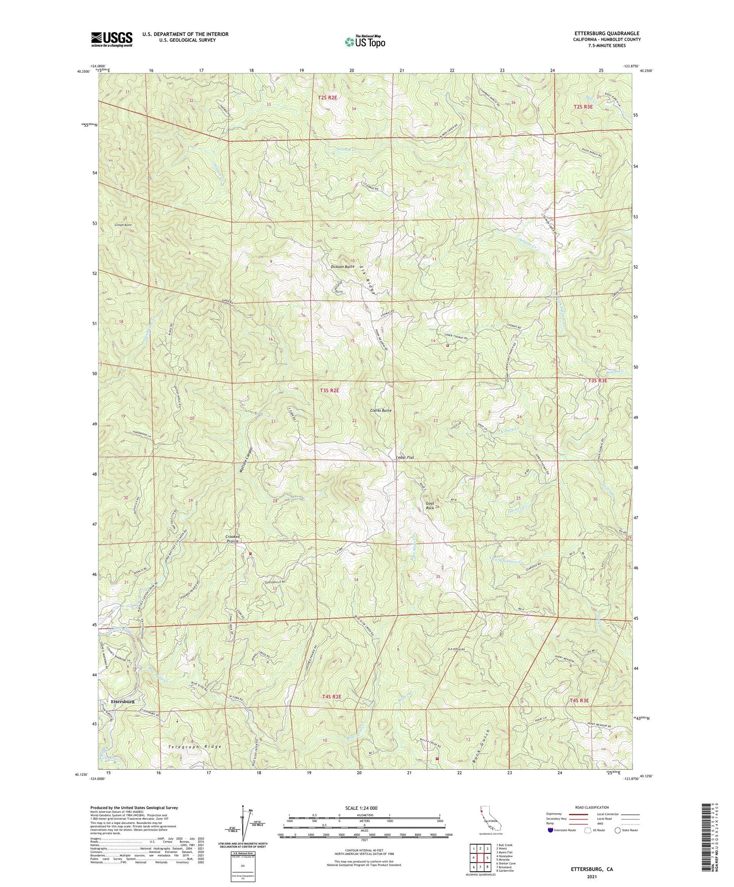
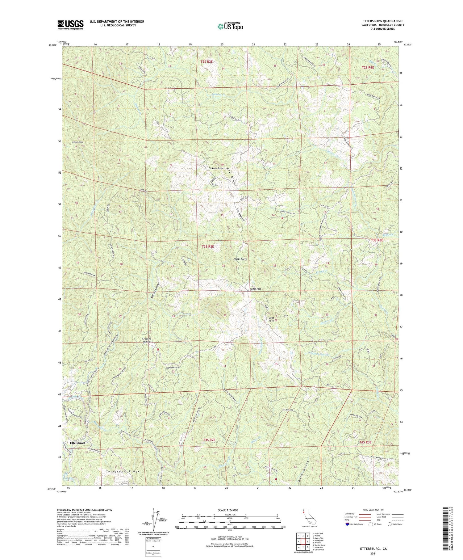
Ettersburg California US Topo Map
Couldn't load pickup availability
2021 topographic map quadrangle Ettersburg in the state of California. Scale: 1:24000. Based on the newly updated USGS 7.5' US Topo map series, this map is in the following counties: Humboldt. The map contains contour data, water features, and other items you are used to seeing on USGS maps, but also has updated roads and other features. This is the next generation of topographic maps. Printed on high-quality waterproof paper with UV fade-resistant inks.
Quads adjacent to this one:
West: Honeydew
Northwest: Bull Creek
North: Weott
Northeast: Myers Flat
East: Miranda
Southeast: Garberville
South: Briceland
Southwest: Shelter Cove
This map covers the same area as the classic USGS quad with code o40123b8.
Contains the following named places: Bear Creek, Beginnings Volunteer Fire Department Station 2, Beginnings Volunteer Fire Department Station 3, Blue Slide Creek, Bogus Creek, Briceland Ranch, Cedar Flat, Clarks Butte, Crooked Prairie, Dickson Butte, Elk Ridge, Ettersburg, French Creek, Gilham Butte, Goat Rock, Hacker Creek, Kinsey Creek, Phelps Ranch, Salmon Creek Volunteer Fire Department, South Fork Salmon Creek, Tostin Creek, ZIP Code: 95553