MyTopo
Nevada City California US Topo Map
Couldn't load pickup availability
Also explore the Nevada City Forest Service Topo of this same quad for updated USFS data
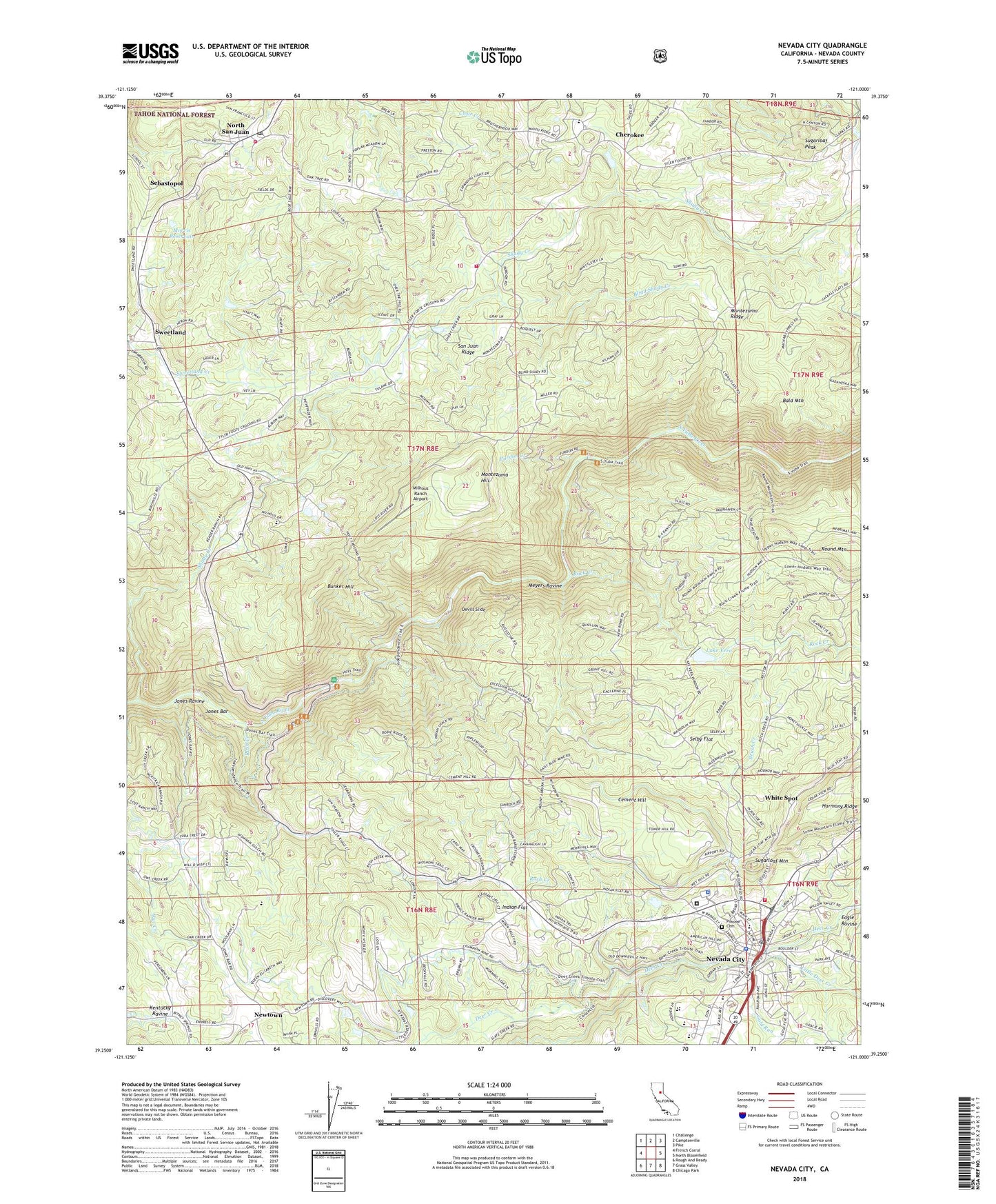
2022 topographic map quadrangle Nevada City in the state of California. Scale: 1:24000. Based on the newly updated USGS 7.5' US Topo map series, this map is in the following counties: Nevada. The map contains contour data, water features, and other items you are used to seeing on USGS maps, but also has updated roads and other features. This is the next generation of topographic maps. Printed on high-quality waterproof paper with UV fade-resistant inks.
Quads adjacent to this one:
West: French Corral
Northwest: Challenge
North: Camptonville
Northeast: Pike
East: North Bloomfield
Southeast: Chicago Park
South: Grass Valley
Southwest: Rough And Ready
This map covers the same area as the classic USGS quad with code o39121c1.
Contains the following named places: American Victorian Museum, Bald Mountain, Bellett 317 Dam, B-Four Ranch, Bicentennial Museum, Blind Shady Creek, Brush Creek, Bunker Hill, Cement Hill, Champion, Champion Mine, Cherokee, Cherokee Diggings, City of Nevada City, Daisy Blue Mine, Deer Creek Cemetery, Deer Creek Ditch, Deer Creek Elementary School, Devils Slide, Eagle Ravine, Empress Mine, Excelsior Ditch, Firehouse Number 1 Museum, Firehouse Number 2, First Baptist Church, First Methodist Church, Forest View Cemetery, Four-T Ranch, Gold Run, Hilliard Ranch, Hoyt Crossing, Indian Flat, Jones Bar, Jones Ravine, KJFA-FM (Grass Valley), Lake Vera, Lake Vera 303 Dam, Little Deer Creek, Maidu Tribal Burying Grounds Cemetery, Marshall Ranch, Meyers Ravine, Milhous Ranch Airport, Miller Ranch, Montezuma Hill, Montezuma Ridge, Morris Reservoir, Murphy Ranch, Nevada City, Nevada City City Hall, Nevada City Downtown Historic District, Nevada City Jewish Cemetery, Nevada City Old Odd Fellows Cemetery, Nevada City Police Department, Nevada City Post Office, Nevada City Rancheria, Nevada City School, Nevada County Cemetery, Nevada County Consolidated Fire District Station 84, Nevada County Courthouse, Nevada County Law Library, Nevada County Sheriff's Office, Nevada County Wade Brown Correctional Facility, Nevada Theatre, Newtown, North San Juan, North San Juan Census Designated Place, North San Juan Fire Protection District Station 1, North San Juan Fire Protection District Station 3, North San Juan Post Office, North San Juan Protestant Cemetery, North San Juan Saint John's Catholic Cemetery, Oak Tree Elementary School, Personeni Ranch, Pine Grove Cemetery, Pioneer Cemetery, Pioneer Park, Providence, Purdon Creek, Purdon Crossing, Rays Ranch, Reader Ranch, Red Castle, Robinson Ranch, Rock Creek, Round Mountain, Rush Creek, Saint Canice Cemetery, Searls Historical Library, Sebastopol, Selby Flat, Seven Hills Intermediate School, Shady Creek, Shady Creek Fire Camp, Shelby Flat, Stewart Mansion, Sugarloaf Mountain, Sugarloaf Peak, Sweetland, Sweetland Cemetery, Tahoe National Forest Supervisor Office, Trinity Episcopal Church, Tyler Foote / Cherokee Township Cemetery, White Spot, Williams Ranch, Wokodot


