MyTopo
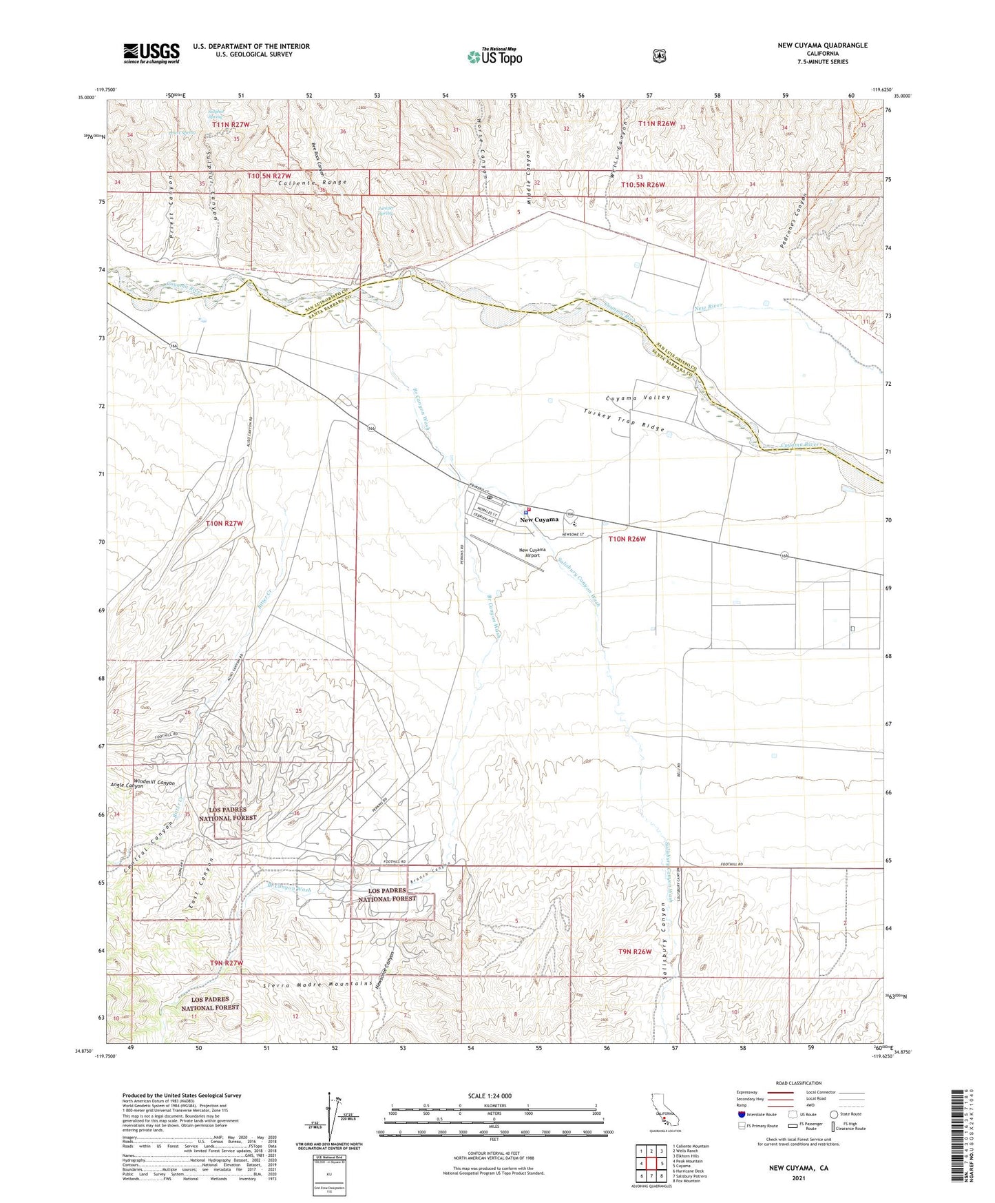
New Cuyama California US Topo Map
Couldn't load pickup availability
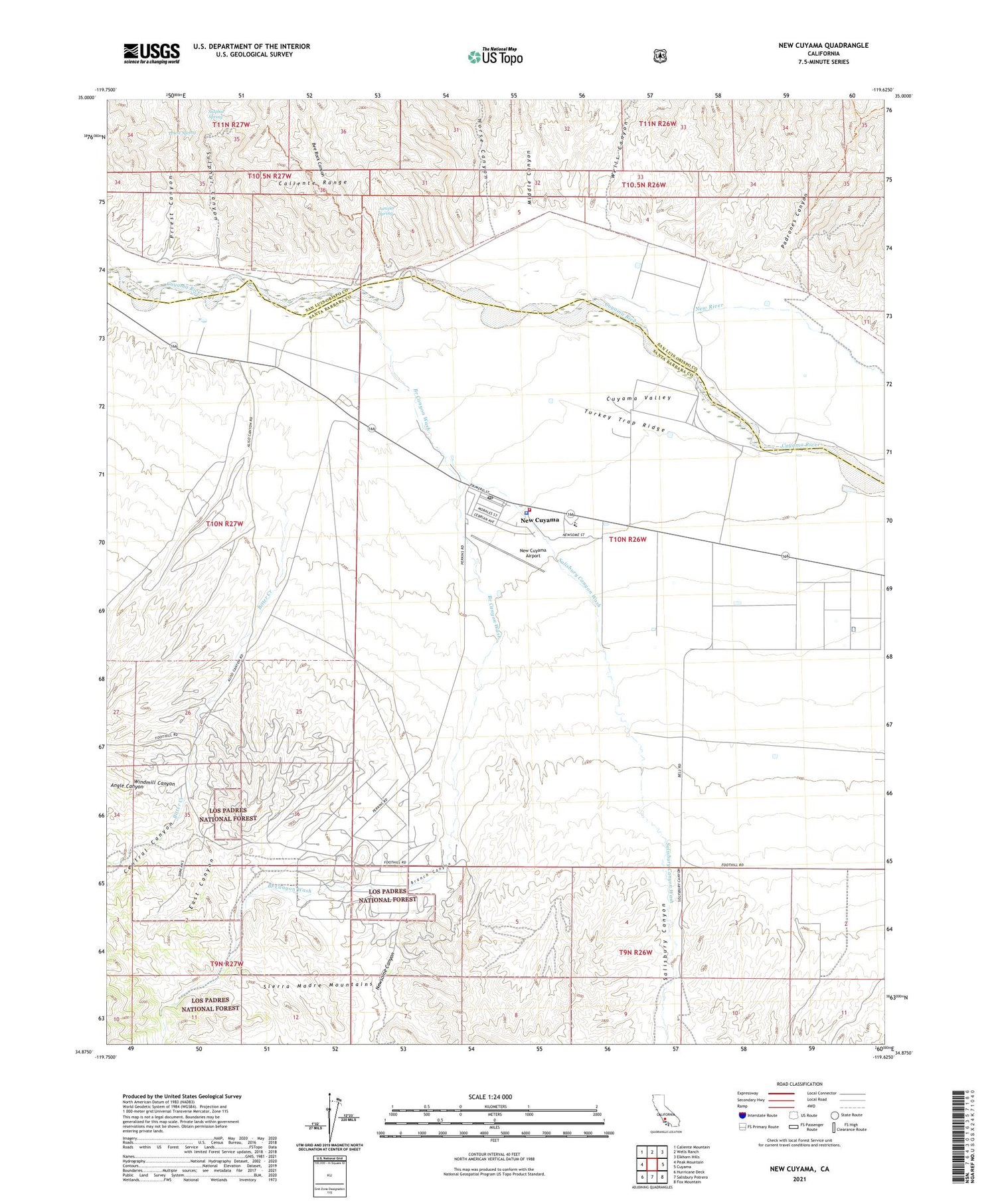
Also explore the New Cuyama Forest Service Topo of this same quad for updated USFS data
2021 topographic map quadrangle New Cuyama in the state of California. Scale: 1:24000. Based on the newly updated USGS 7.5' US Topo map series, this map is in the following counties: Santa Barbara, San Luis Obispo. The map contains contour data, water features, and other items you are used to seeing on USGS maps, but also has updated roads and other features. This is the next generation of topographic maps. Printed on high-quality waterproof paper with UV fade-resistant inks.
Quads adjacent to this one:
West: Peak Mountain
Northwest: Caliente Mountain
North: Wells Ranch
Northeast: Elkhorn Hills
East: Cuyama
Southeast: Fox Mountain
South: Salisbury Potrero
Southwest: Hurricane Deck
This map covers the same area as the classic USGS quad with code o34119h6.
Contains the following named places: Angle Canyon, Bee Rock Canyon, Bitter Creek, Branch Canyon, Branch Canyon Campground, Branch Canyon Guard Station, Branch Canyon Wash, Central Canyon, Cuyama Christian Academy, Cuyama Ranch, Cuyama Valley High School, East Canyon, Horse Canyon, Johnson Ranch, Juniper Spring, Middle Canyon, New Cuyama, New Cuyama Airport, New Cuyama Branch Santa Maria Public Library, New Cuyama Census Designated Place, New Cuyama Elementary School, New Cuyama Post Office, New River, Newsome Canyon, Padrones Canyon, Priest Canyon, Priest Spring, Richardson Park, Salisbury Canyon, Salisbury Canyon Wash, Santa Barbara County Fire Department Station 41, Santa Barbara County Sheriff's Office New Cuyama Station, Sierra Madre Continuation High School, South Cuyama Oil Field, Sulphur Canyon, Sulphur Spring, Turkey Trap Ridge, Wells Canyon, Windmill Canyon