MyTopo
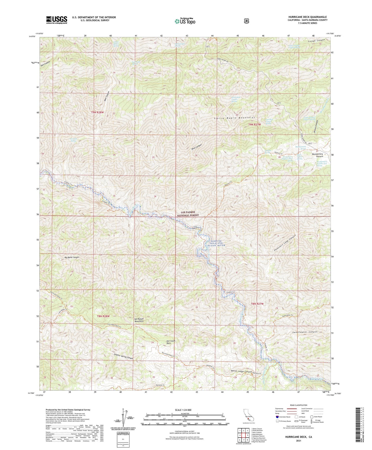
Hurricane Deck California US Topo Map
Couldn't load pickup availability
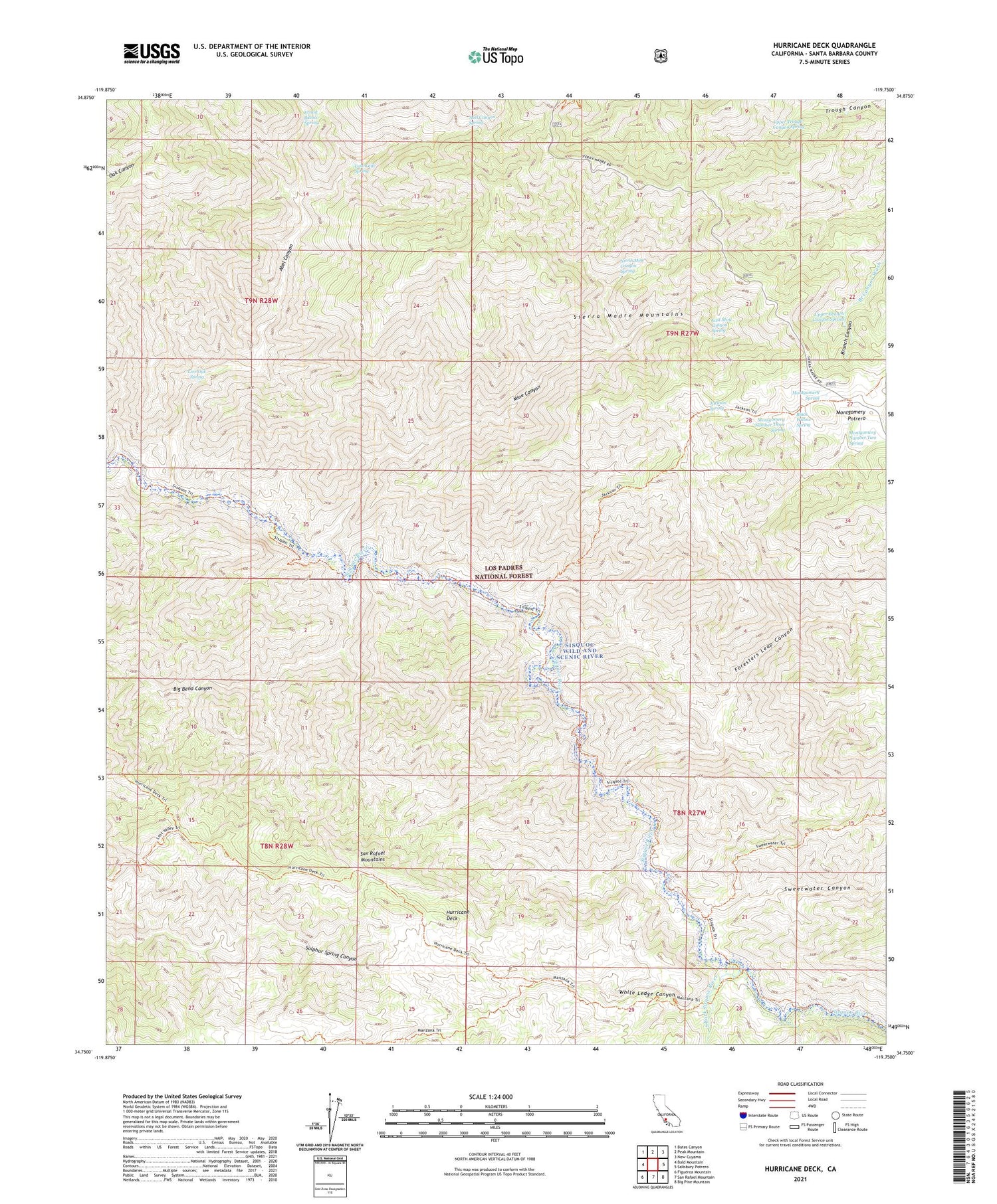
Also explore the Hurricane Deck Forest Service Topo of this same quad for updated USFS data
2021 topographic map quadrangle Hurricane Deck in the state of California. Scale: 1:24000. Based on the newly updated USGS 7.5' US Topo map series, this map is in the following counties: Santa Barbara. The map contains contour data, water features, and other items you are used to seeing on USGS maps, but also has updated roads and other features. This is the next generation of topographic maps. Printed on high-quality waterproof paper with UV fade-resistant inks.
Quads adjacent to this one:
West: Bald Mountain
Northwest: Bates Canyon
North: Peak Mountain
Northeast: New Cuyama
East: Salisbury Potrero
Southeast: Big Pine Mountain
South: San Rafael Mountain
Southwest: Figueroa Mountain
This map covers the same area as the classic USGS quad with code o34119g7.
Contains the following named places: Abel Canyon, Abel Canyon Campground, Abel Canyon Spring, Big Bend Canyon, Black Willow Spring, Cliff Campground, Cuyama Division, East Mine Canyon Spring, Ernest Blanco Spring, Foresters Leap Canyon, Happy Hunting Ground Campground, Hurricane Deck, Hurricane Deck Trail, Jackson Spring, Jackson Trail, Live Oak Spring, Lonnie Davis Campground, Lost Knife Spring, Manzana Trail, Mine Canyon, Montgomery Number Three Spring, Montgomery Number Two Spring, Montgomery Potrero, Montgomery Spring, North Mine Canyon Spring, Painted Rock Campground, San Rafael Wilderness, Sisquoc Wild and Scenic River, South Fork Guard Station, South Fork Rustic Campsite, South Fork Sisquoc River, Sweetwater Canyon, Sycamore Campground, Upper Branch Canyon Spring, Upper Trough Canyon Spring, White Ledge Campground, White Ledge Canyon