MyTopo
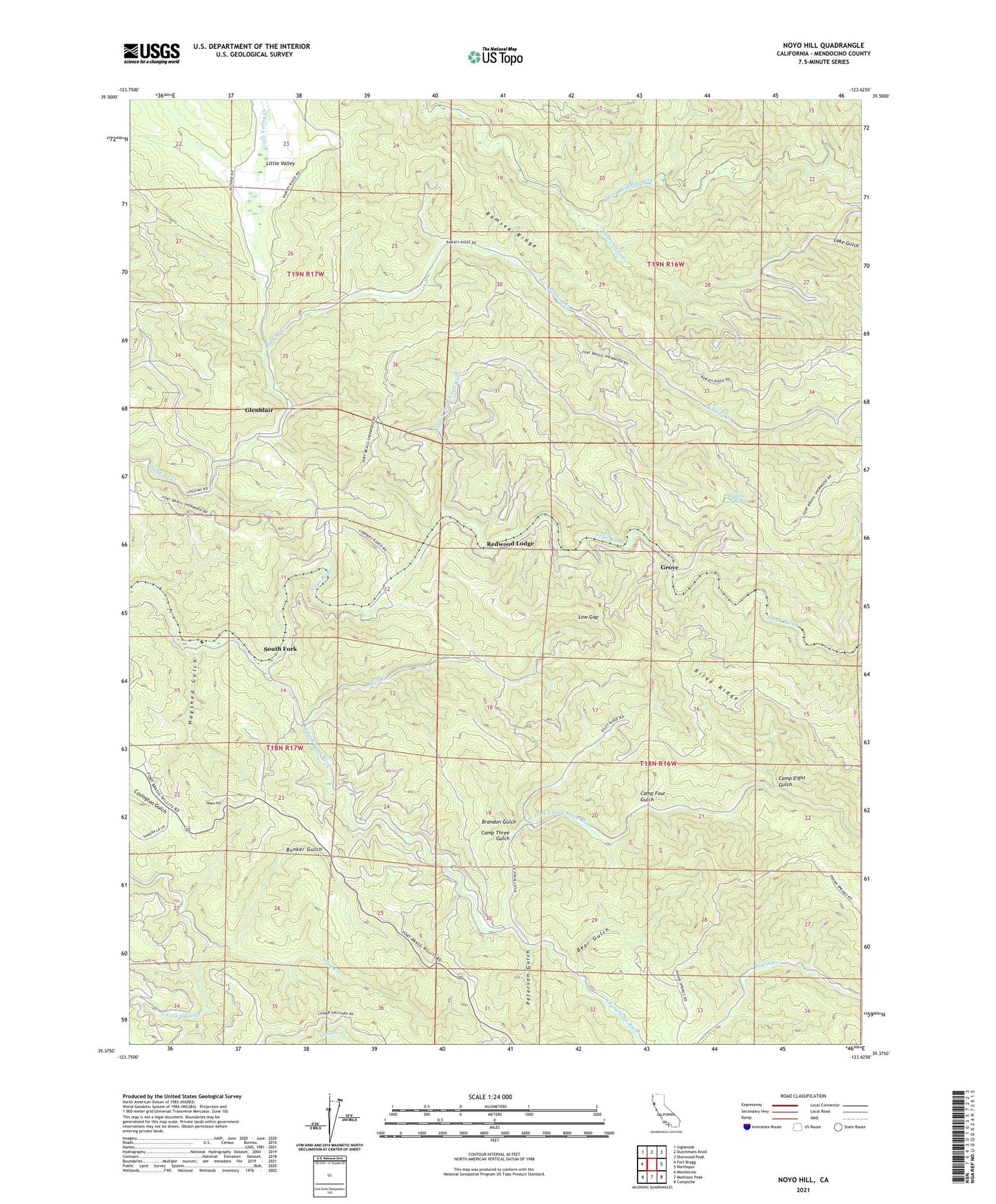
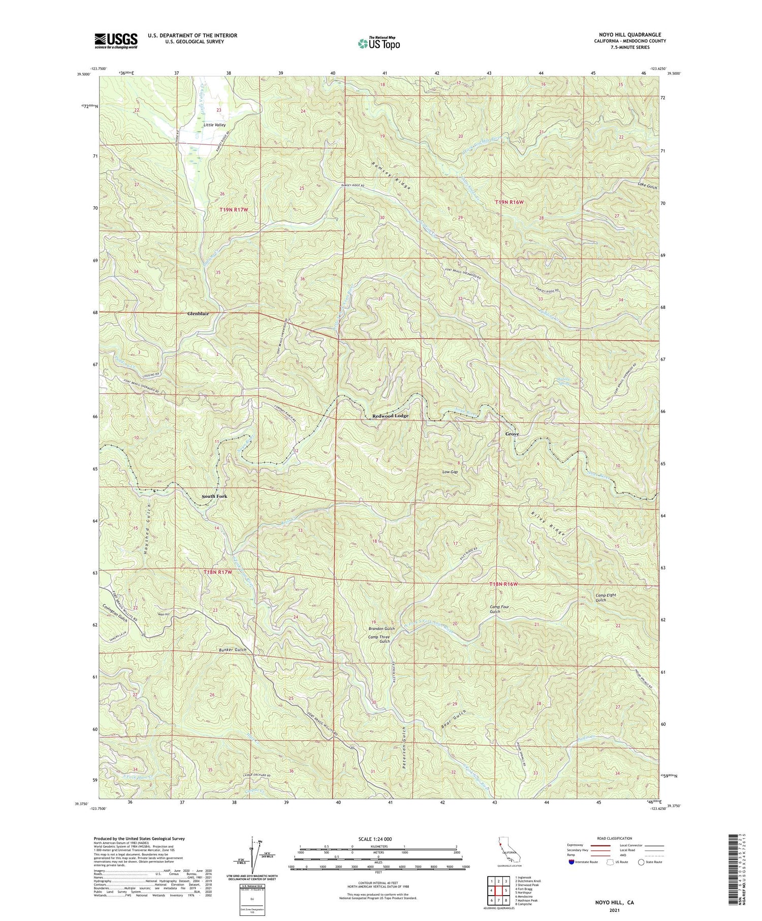
Noyo Hill California US Topo Map
Couldn't load pickup availability
2021 topographic map quadrangle Noyo Hill in the state of California. Scale: 1:24000. Based on the newly updated USGS 7.5' US Topo map series, this map is in the following counties: Mendocino. The map contains contour data, water features, and other items you are used to seeing on USGS maps, but also has updated roads and other features. This is the next generation of topographic maps. Printed on high-quality waterproof paper with UV fade-resistant inks.
Quads adjacent to this one:
West: Fort Bragg
Northwest: Inglenook
North: Dutchmans Knoll
Northeast: Sherwood Peak
East: Northspur
Southeast: Comptche
South: Mathison Peak
Southwest: Mendocino
This map covers the same area as the classic USGS quad with code o39123d6.
Contains the following named places: Bear Gulch, Brandon Gulch, Bunker Gulch, Camp Eight Gulch, Camp Four Gulch, Camp Three Gulch, Camp Three Spur, Churchman Creek, Fort Bragg Division, Glenblair, Grove, Hayshed Gulch, Hayshed Siding, Jackson State Forest, Kass Creek, KOZT-FM (Fort Bragg), Lake Gulch, Little North Fork Noyo River, Little Valley, Little Valley Creek, Low Gap, Mallory Spring, McDonald Ranch, North Fork South Fork Noyo River, Noyo Hill, Peterson Gulch, Redwood Lodge, South Fork, South Fork Hare Creek, South Fork Noyo River, ZIP Code: 95437