MyTopo
Omo Ranch California US Topo Map
Couldn't load pickup availability
Also explore the Omo Ranch Forest Service Topo of this same quad for updated USFS data
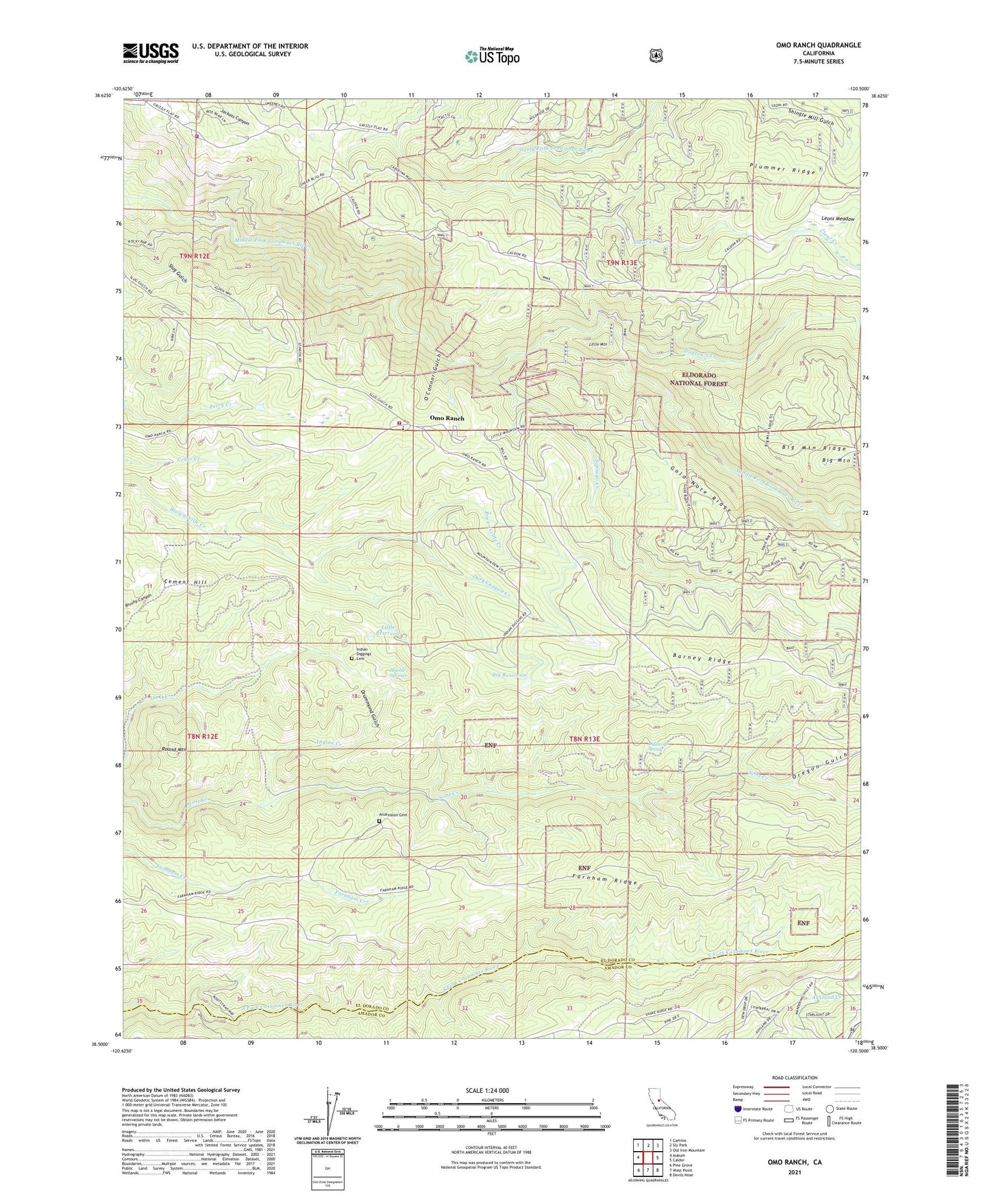
2021 topographic map quadrangle Omo Ranch in the state of California. Scale: 1:24000. Based on the newly updated USGS 7.5' US Topo map series, this map is in the following counties: El Dorado, Amador. The map contains contour data, water features, and other items you are used to seeing on USGS maps, but also has updated roads and other features. This is the next generation of topographic maps. Printed on high-quality waterproof paper with UV fade-resistant inks.
Quads adjacent to this one:
West: Aukum
Northwest: Camino
North: Sly Park
Northeast: Old Iron Mountain
East: Caldor
Southeast: Devils Nose
South: West Point
Southwest: Pine Grove
This map covers the same area as the classic USGS quad with code o38120e5.
Contains the following named places: Andreason Cemetery, Andreason Mill, April Fool Mine, Arctic Mine, Bell Mine, Big Mountain, Big Reservoir, Black Oak Mine, Brownsville, Caldor Mine, Cement Hill, Chic Mine, Christian Mine, Clear Creek, Coles Station, Consolidated Mine, Cosumnes Copper Mine, Crystal Mine, Dark Canyon Creek, Deep Channel Mine, Dogtown Creek, Dorsey Mine, Drummond Gulch, Drusy Mine, Eagle Mine, Glorianna Mine, Gold Note Mine, Henrys Diggings, Hidden Treasure Mine, Independence Mine, Indian Creek, Indian Diggings Cemetery, Indian Diggings Elementary School, Irish Slide Mine, Jones Mine, Last Chance Mine, Leoni Fire Tank, Leoni Meadow, Liddicoat Spring, Little Bill Mine, Little Mountain, Little Reservoir, Loveless Dredgings, Lucky Jack Mine, Marble Quarry, Marble Springs, Monitor Mine, O'Connor Gulch, Old Chinese Mine, Old Empire Mine, Omo Mine, Omo Ranch, Oregon Gulch, Patterson Mine, Payne Mine, Peacock Mine, Pioneer Fire Protection District Station 31 Willow, Pioneer Fire Protection District Station 37 Omo Ranch, Polar Bear Mine, Potosi Mine, Relief Mine, Richmond Mine, Round Mountain, Slug Gulch, Slug Gulch Mine, Sopiago Creek, Stillwagon Mine, Syracuse Mine, Telegraph Mine, Texas Mine, Tomcat Mine, Trinity Mine, Volcano Mine, Washington Mine, Webfoot Mine, Willow School, Yellow Aster Mine, Yellowjacket Mine, ZIP Code: 95684


