MyTopo
Sly Park California US Topo Map
Couldn't load pickup availability
Also explore the Sly Park Forest Service Topo of this same quad for updated USFS data
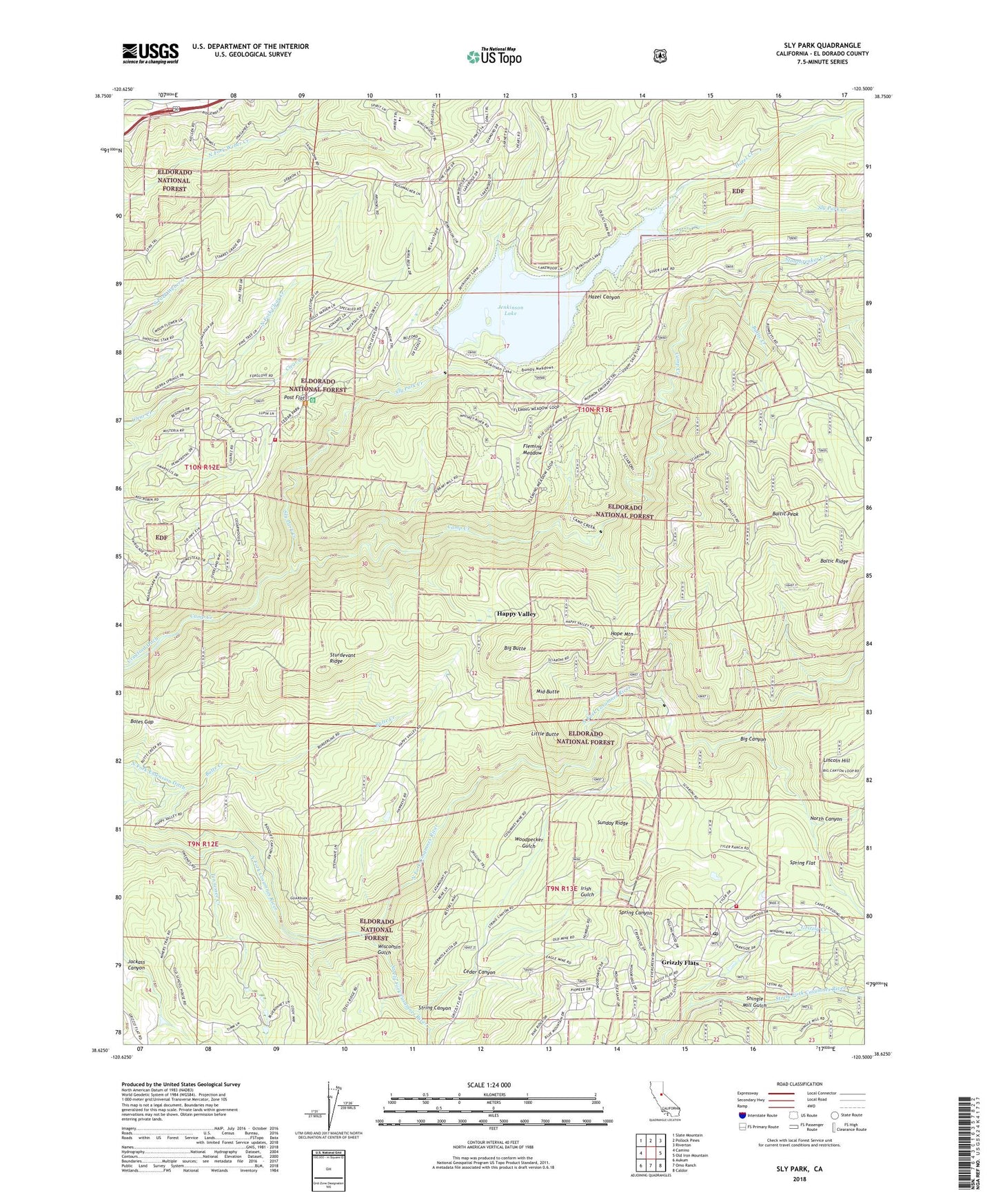
2021 topographic map quadrangle Sly Park in the state of California. Scale: 1:24000. Based on the newly updated USGS 7.5' US Topo map series, this map is in the following counties: El Dorado. The map contains contour data, water features, and other items you are used to seeing on USGS maps, but also has updated roads and other features. This is the next generation of topographic maps. Printed on high-quality waterproof paper with UV fade-resistant inks.
Quads adjacent to this one:
West: Camino
Northwest: Slate Mountain
North: Pollock Pines
Northeast: Riverton
East: Old Iron Mountain
Southeast: Caldor
South: Omo Ranch
Southwest: Aukum
This map covers the same area as the classic USGS quad with code o38120f5.
Contains the following named places: Baltic Creek, Baltic Peak, Big Butte, Big Canyon, Blue Gouge Mine, Boles Gap, Cedar Canyon, Cosumnes Mine, Diamond Creek, Eagle King Mine, Eagle Mine, El Dorado County Fire Protection District Station 18, Fleming Meadow, Grizzly Creek, Grizzly Flat, Grizzly Flat Cemetery, Grizzly Flats Census Designated Place, Grizzly Flats Post Office, Grizzly Guard Station, Grizzly Peak, Happy Valley, Hazel Canyon, Hazel Creek, Hazel Creek Mine, Hope Mountain, Humbug Mine, Irish Gulch, Jenkinson Lake, Lakewood Sierra, Lincoln Hill, Little Butte, Marshall Mine, Middle Butte, Morman Immigrant Trail Information Site, Mount Hope Mine, Mount Pleasant Mine, North Canyon, North Fork Clear Creek, North Fork Extension Ditch, Pioneer Fire Protection District Grizzly Flats Fire Station 35, Post Flat, Shingle Mill Gulch, Sierra Springs, Sly Park, Sly Park Campground, Sly Park Conservation and Environmental Education School, Sly Park Creek, Sly Park Dam, Sly Park Guard Station, Sly Park Recreation Site, Sly Park Saddle Dam, Snowline Camp, South El Dorado Division, Sportsmans Hall State Historic Landmark 704, Spring Canyon, Spring Flat, Steely Fork Cosumnes River, Stonebreaker Creek, String Canyon, Sturdevant Ridge, Sunday Ridge, Sweeneys Crossing, Tennessee Creek, Wisconsin Gulch, Woodpecker Gulch


