MyTopo
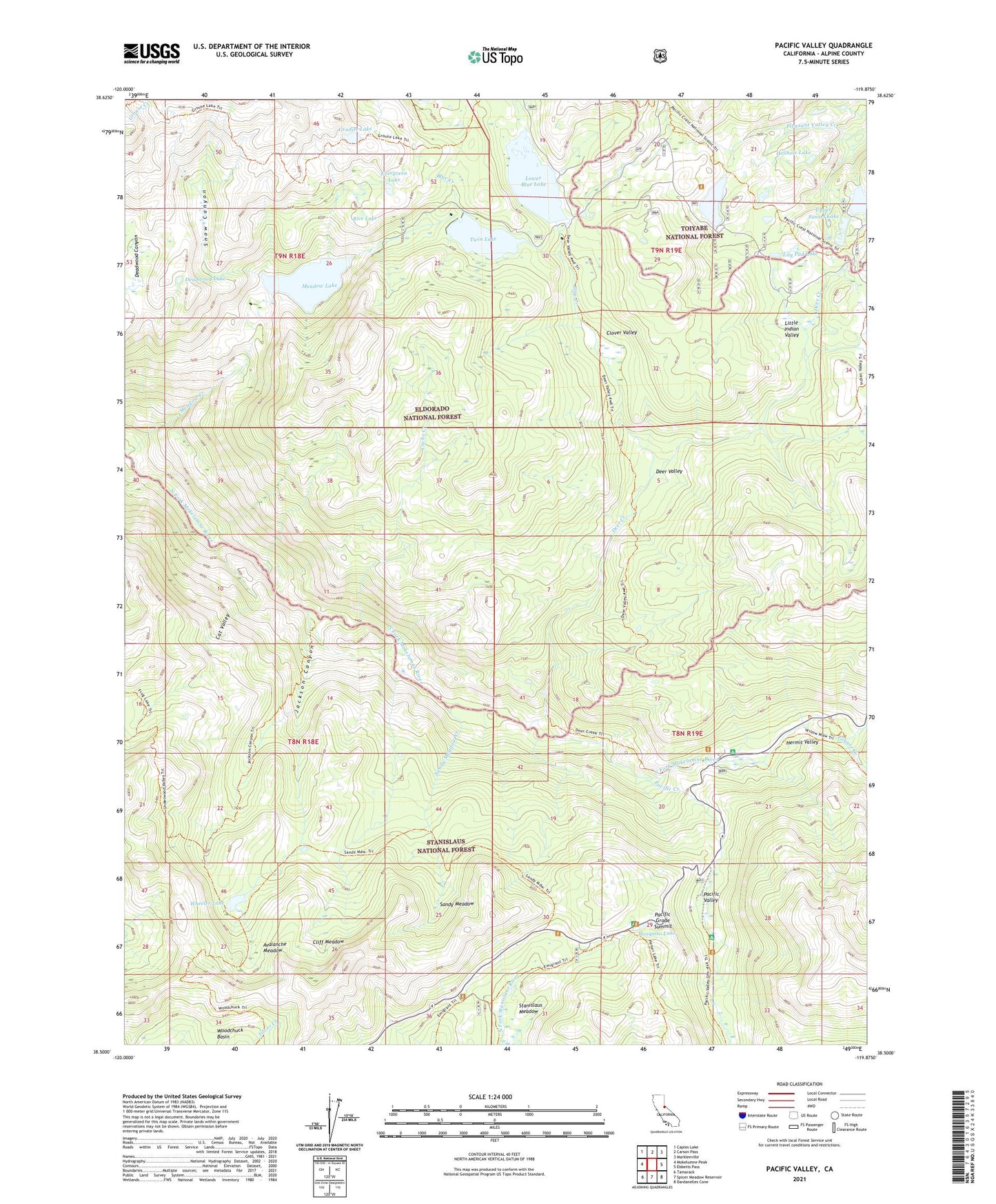
Pacific Valley California US Topo Map
Couldn't load pickup availability
Also explore the Pacific Valley Forest Service Topo of this same quad for updated USFS data
2021 topographic map quadrangle Pacific Valley in the state of California. Scale: 1:24000. Based on the newly updated USGS 7.5' US Topo map series, this map is in the following counties: Alpine. The map contains contour data, water features, and other items you are used to seeing on USGS maps, but also has updated roads and other features. This is the next generation of topographic maps. Printed on high-quality waterproof paper with UV fade-resistant inks.
Quads adjacent to this one:
West: Mokelumne Peak
Northwest: Caples Lake
North: Carson Pass
Northeast: Markleeville
East: Ebbetts Pass
Southeast: Dardanelles Cone
South: Spicer Meadow Reservoir
Southwest: Tamarack
This map covers the same area as the classic USGS quad with code o38119e8.
Contains the following named places: Avalanche Meadow, Blue Creek, Blue Lakes Trailhead, Cache Creek, Cat Valley, Cliff Meadow, Clover Valley, Deadwood Lake, Deer Creek, Deer Valley, Evergreen Lake, Granite Lake, Grouse Creek, Hellhole Lake, Hermit Valley, Hermit Valley Campground, Jackson Canyon, Lily Pad Lake, Little Indian Valley, Lower Blue Lake, Lower Blue Lake 97-062 Dam, Lower Blue Lake Campground, Lower Sunset 513-003 Dam, Lower Sunset Lake, Meadow Lake, Meadow Lake 97-063 Dam, Middle Creek, Mokelumne Wilderness, Monte Wolf Upper Cabin, Mosquito Lake, Mosquito Lakes Campground, Mosquito Lakes Picnic Area, Pacific Creek, Pacific Grade Summit, Pacific Valley, Pacific Valley Campground, Rice Lake, Sandy Meadow, Sandy Meadow Creek, Snow Canyon, Stanislaus Meadow, Stevenot Camp, Summit Lake Dam, Tamarac Lake 513-005 Dam, Tamarack Lake, Twin Lake, Twin Lakes 97-069 Dam, Upper Sunset Lake, Upper Sunset Lake 513-007 Dam, Wheeler Lake, Woodchuck Basin


