MyTopo
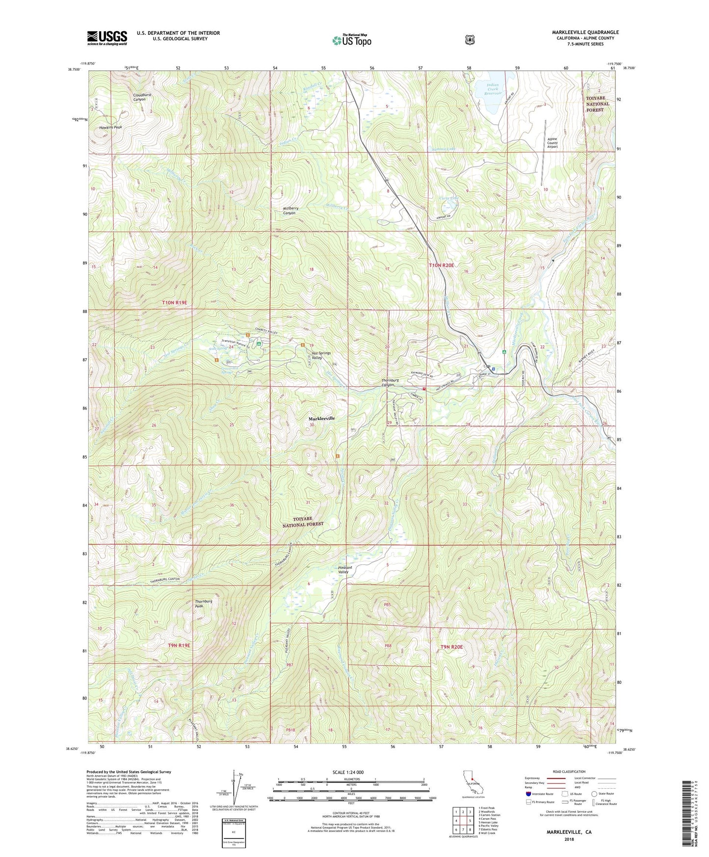
Markleeville California US Topo Map
Couldn't load pickup availability
Also explore the Markleeville Forest Service Topo of this same quad for updated USFS data
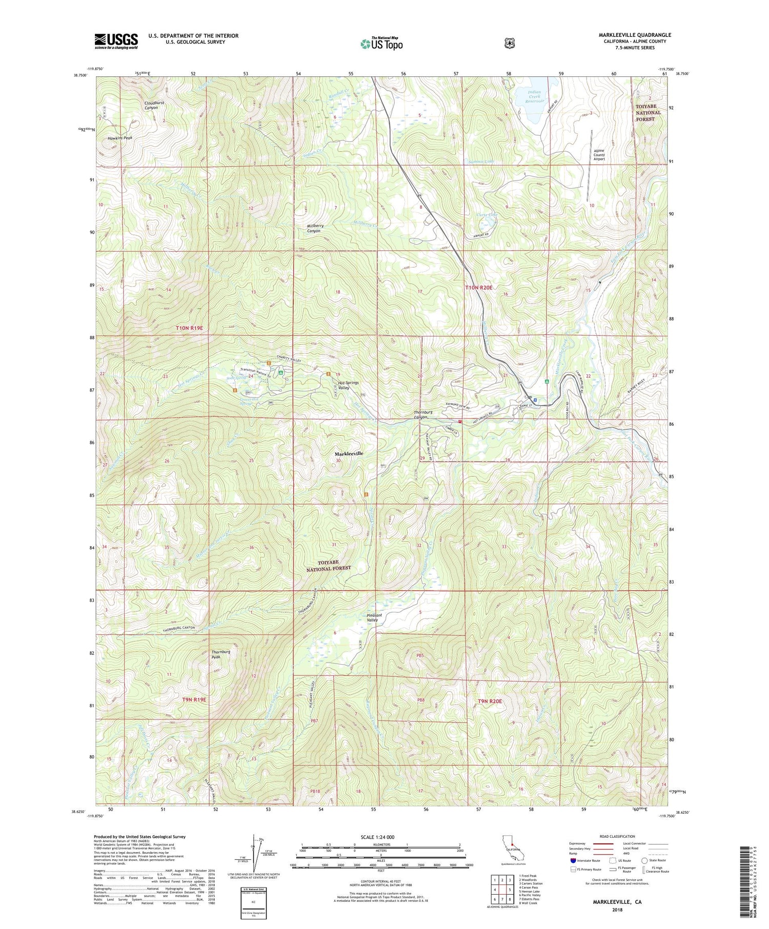
2022 topographic map quadrangle Markleeville in the state of California. Scale: 1:24000. Based on the newly updated USGS 7.5' US Topo map series, this map is in the following counties: Alpine. The map contains contour data, water features, and other items you are used to seeing on USGS maps, but also has updated roads and other features. This is the next generation of topographic maps. Printed on high-quality waterproof paper with UV fade-resistant inks.
Quads adjacent to this one:
West: Carson Pass
Northwest: Freel Peak
North: Woodfords
Northeast: Carters Station
East: Heenan Lake
Southeast: Wolf Creek
South: Ebbetts Pass
Southwest: Pacific Valley
This map covers the same area as the classic USGS quad with code o38119f7.
Contains the following named places: Alpine County Airport, Alpine County Courthouse, Alpine County Free Library, Alpine County Law Library, Alpine County Sheriff's Office Headquarters, Buck Creek, Burnside Lake Trail, Charity Valley Creek, Curtz Lake, Grover Hot Springs, Grover Hot Springs State Park, Hangmans Bridge, Hawkins Peak, Historical Society of Alpine County Museum, Hot Springs Creek, Hot Springs Trail, Hot Springs Valley, Indian Creek, Indian Creek Campground, Indian Creek Recreation Lands, Indian Creek Reservoir, Jeff Davis Creek, Marklee Village, Markleeville, Markleeville Campground, Markleeville Cemetery, Markleeville Census Designated Place, Markleeville Creek, Markleeville Post Office, Markleeville Volunteer Fire Department, Millberry Canyon, Millberry Creek, Musser and Jarvis Creek, Pleasant Valley, Pleasant Valley Creek, Poor Boy Creek, Quaking Aspen Campground, Randall Creek, Raymond Canyon Creek, Sawmill Creek, Sawmill Creek Trail, Shay Creek, Shay Creek Summer Home Area, Soda Spring, Spratt Creek, Summit Lake, Thornburg Canyon, Thornburg Peak, Toiyabe Campground, Transition Walk Nature Trail, Turtle Rock Campgrounds, Turtle Rock County Park, United States Forest Service Markleeville Fire Station, ZIP Code: 96120


