MyTopo
Pancho Rico Valley California US Topo Map
Couldn't load pickup availability
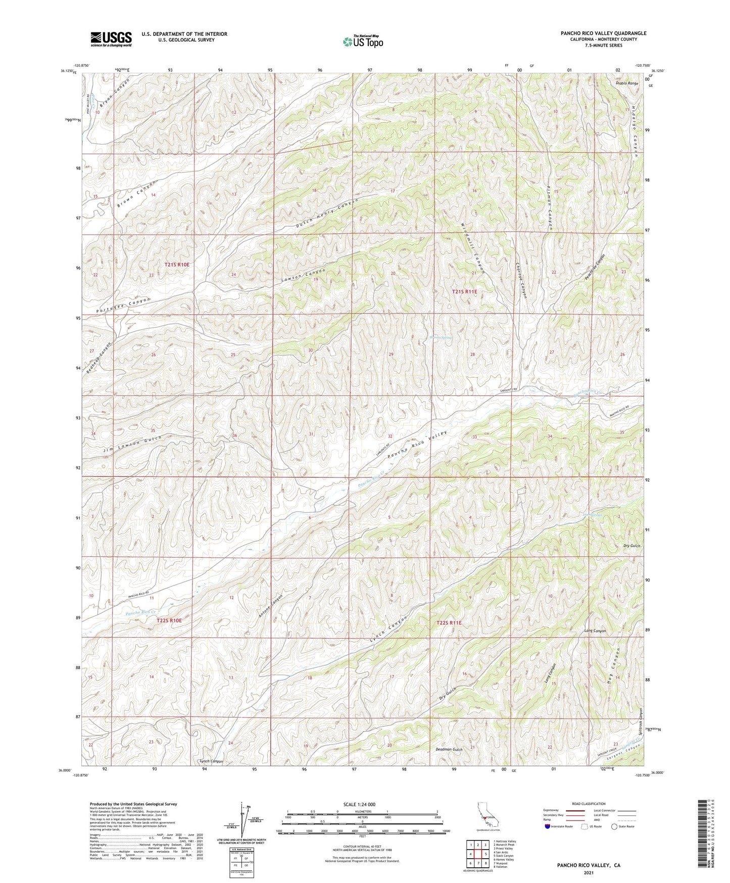
2021 topographic map quadrangle Pancho Rico Valley in the state of California. Scale: 1:24000. Based on the newly updated USGS 7.5' US Topo map series, this map is in the following counties: Monterey. The map contains contour data, water features, and other items you are used to seeing on USGS maps, but also has updated roads and other features. This is the next generation of topographic maps. Printed on high-quality waterproof paper with UV fade-resistant inks.
Quads adjacent to this one:
West: San Ardo
Northwest: Nattrass Valley
North: Monarch Peak
Northeast: Priest Valley
East: Slack Canyon
Southeast: Valleton
South: Wunpost
Southwest: Hames Valley
This map covers the same area as the classic USGS quad with code o36120a7.
Contains the following named places: Antone Canyon, Brinan Spring, Bryan Canyon, Chavoya Canyon, Dutch Henry Canyon, Hidalgo Canyon, Hog Canyon, Iron Springs, Lawson Canyon, Peachtree Canyon, Pitman Canyon, Windmill Canyon, ZIP Code: 93450