MyTopo
Priest Valley California US Topo Map
Couldn't load pickup availability
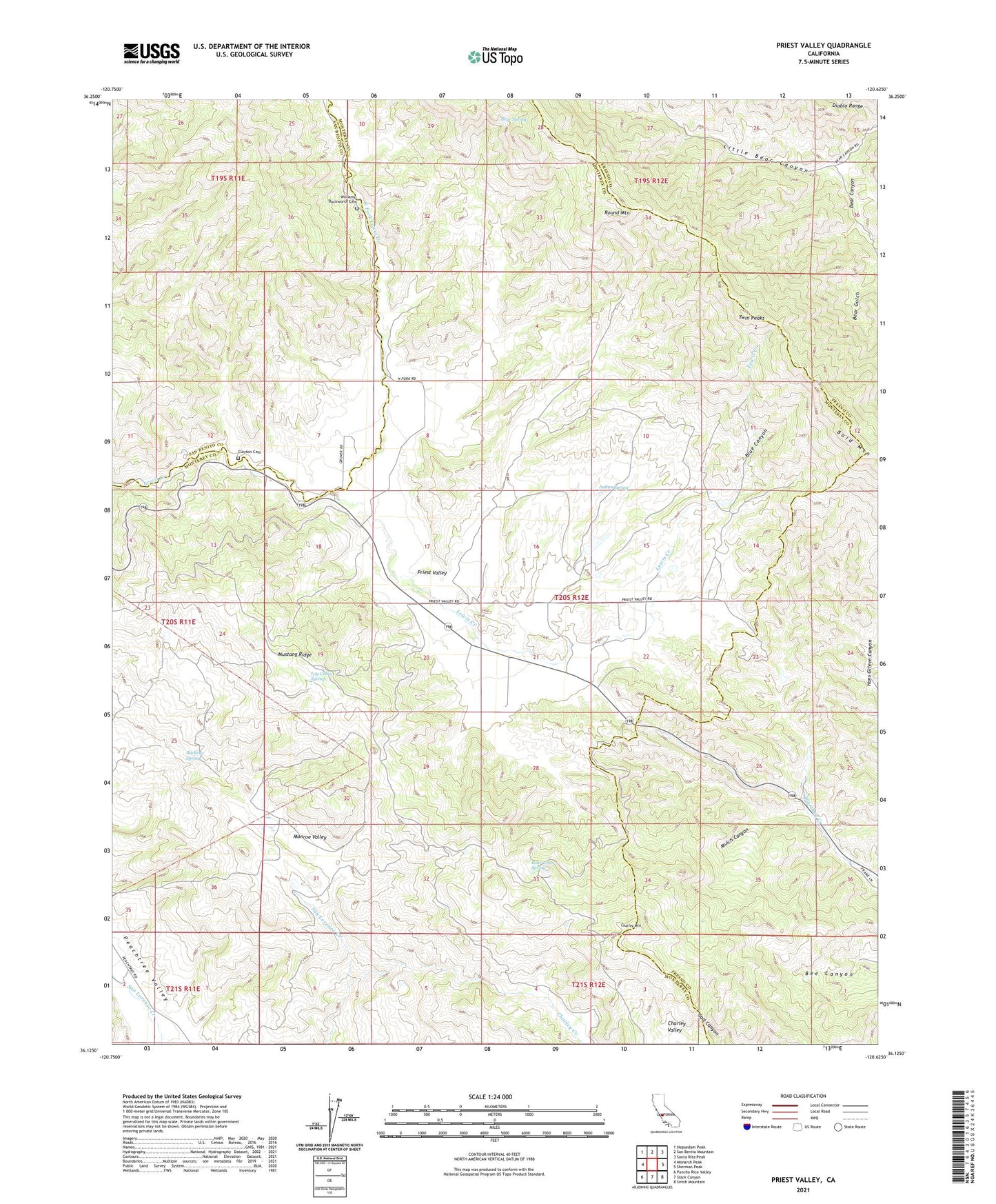
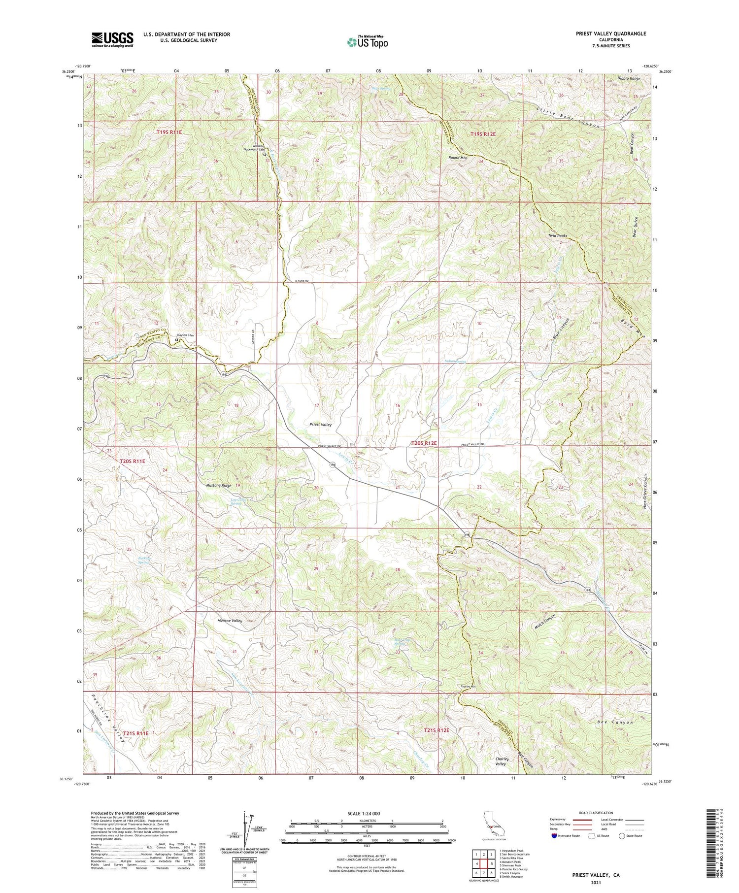
2021 topographic map quadrangle Priest Valley in the state of California. Scale: 1:24000. Based on the newly updated USGS 7.5' US Topo map series, this map is in the following counties: Monterey, Fresno, San Benito. The map contains contour data, water features, and other items you are used to seeing on USGS maps, but also has updated roads and other features. This is the next generation of topographic maps. Printed on high-quality waterproof paper with UV fade-resistant inks.
Quads adjacent to this one:
West: Monarch Peak
Northwest: Hepsedam Peak
North: San Benito Mountain
Northeast: Santa Rita Peak
East: Sherman Peak
Southeast: Smith Mountain
South: Slack Canyon
Southwest: Pancho Rico Valley
This map covers the same area as the classic USGS quad with code o36120b6.
Contains the following named places: Bear Canyon, Bear Spring, Bear Trap Spring, Blue Canyon, Buckeye Spring, Charley Creek, Charley Mountain, Charley Valley, Clayton Cemetery, Indian Spring, Little Bear Canyon, Log Cabin Spring, Monroe Lake, Monroe Valley, Mulch Canyon, North Fork Lewis Creek, Pretty Flat, Priest Valley, Priest Valley School, Round Mountain, Twin Peaks, Williams-Duckworth Cemetery