MyTopo
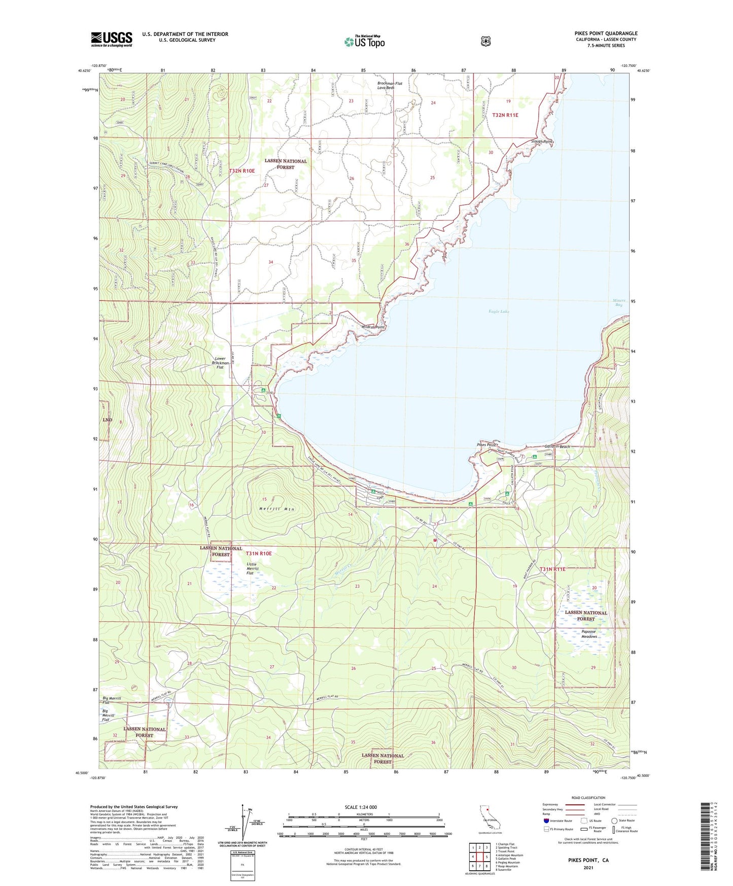
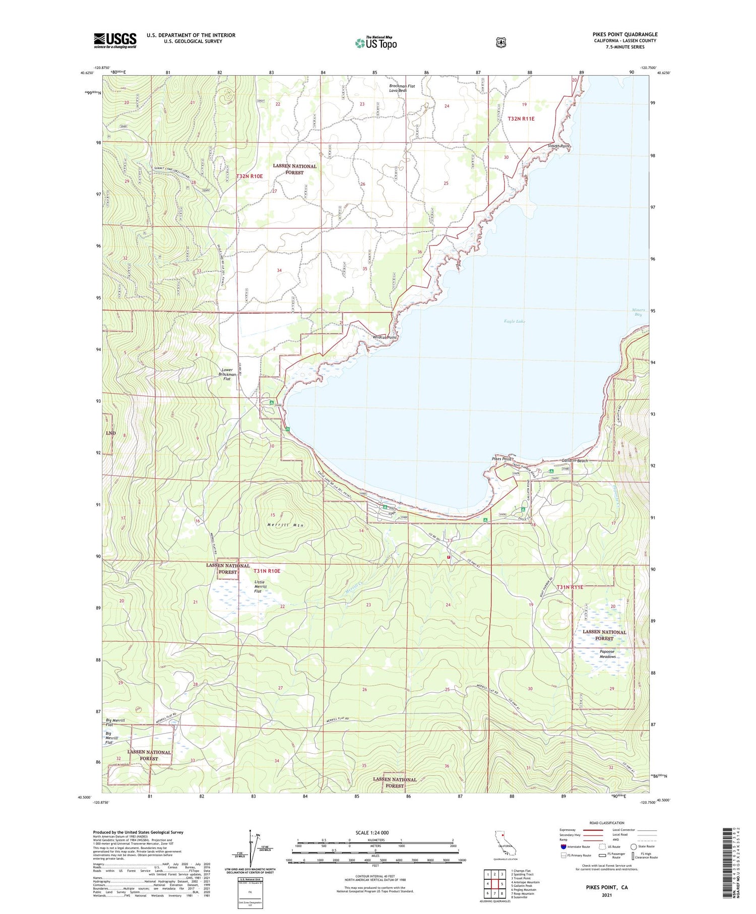
Pikes Point California US Topo Map
Couldn't load pickup availability
Also explore the Pikes Point Forest Service Topo of this same quad for updated USFS data
2021 topographic map quadrangle Pikes Point in the state of California. Scale: 1:24000. Based on the newly updated USGS 7.5' US Topo map series, this map is in the following counties: Lassen. The map contains contour data, water features, and other items you are used to seeing on USGS maps, but also has updated roads and other features. This is the next generation of topographic maps. Printed on high-quality waterproof paper with UV fade-resistant inks.
Quads adjacent to this one:
West: Antelope Mountain
Northwest: Champs Flat
North: Spalding Tract
Northeast: Troxel Point
East: Gallatin Peak
Southeast: Susanville
South: Roop Mountain
Southwest: Pegleg Mountain
This map covers the same area as the classic USGS quad with code o40120e7.
Contains the following named places: Aspen Grove Campground, Aspen Grove Picnic Area, California Department of Forestry and Fire Protection Lassen Modoc Unit Eagle Lake, Christie Beach Campground, Christie Day Use Area Campground, Eagle Campground, Eagle Lake Burn, Eagle Lake Resort, Eagle Lodge, Gallatin Beach, Gallatin House, Gallatin Picnic Area, Lake of the Woods, Little Merrill Flat, Lower Brockman Flat, Merrill Burn, Merrill Campground, Merrill Creek, Merrill Information Center, Merrill Mountain, Miners Bay, Osprey Management Area, Papoose Creek, Papoose Meadows, Pikes Point, Pikes Point Boat Ramp, Pikes Point Picnic Area, Pine Grove Picnic Area, Roney Corral, Slough Point, West Eagle Picnic Area, Wildcat Point