MyTopo
Point Ano Nuevo California US Topo Map
Couldn't load pickup availability
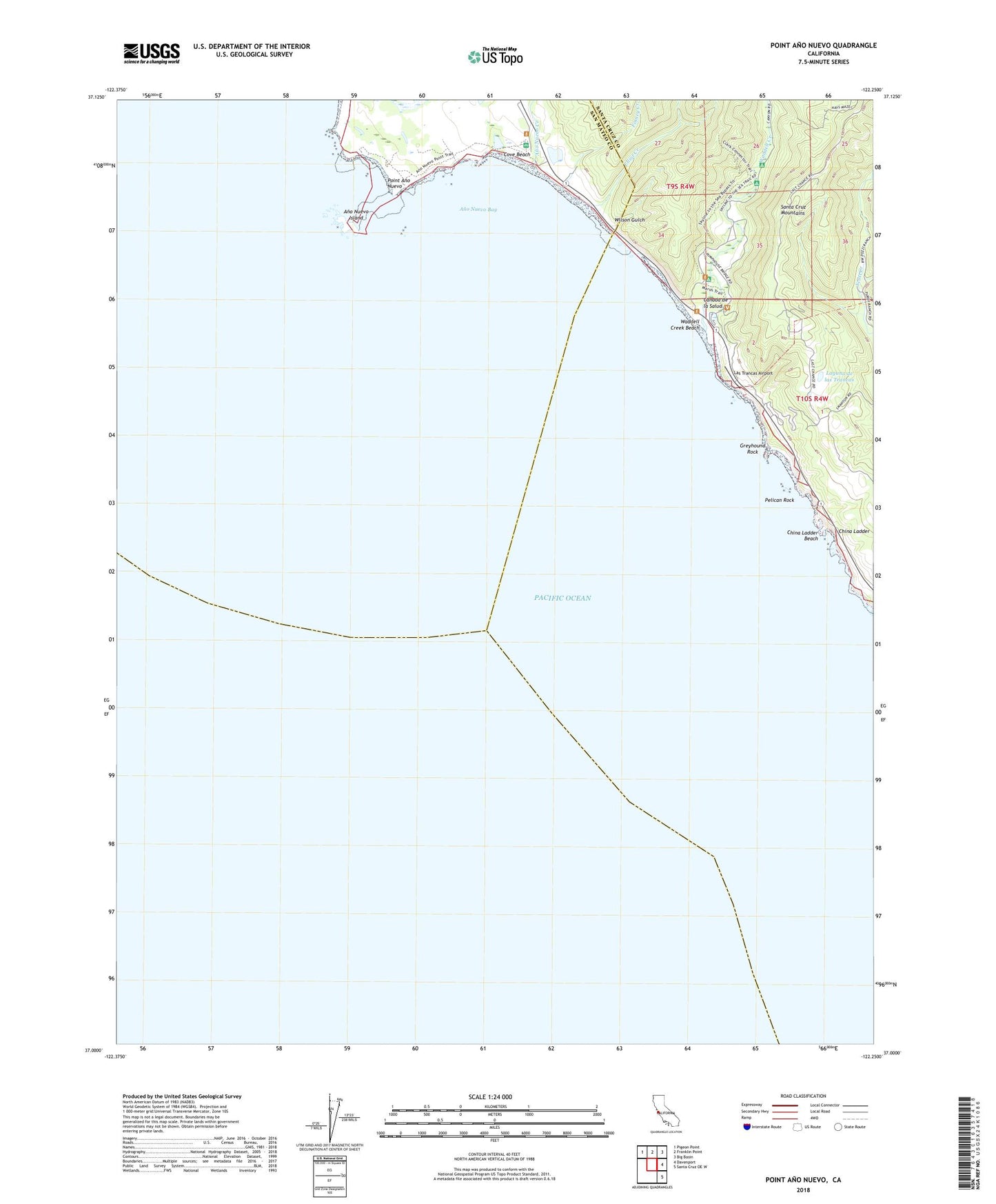
2021 topographic map quadrangle Point Ano Nuevo in the state of California. Scale: 1:24000. Based on the newly updated USGS 7.5' US Topo map series, this map is in the following counties: Santa Cruz, San Mateo. The map contains contour data, water features, and other items you are used to seeing on USGS maps, but also has updated roads and other features. This is the next generation of topographic maps. Printed on high-quality waterproof paper with UV fade-resistant inks.
Quads adjacent to this one:
Northwest: Pigeon Point
North: Franklin Point
Northeast: Big Basin
East: Davenport
Southeast: Santa Cruz OE W
This map covers the same area as the classic USGS quad with code o37122a3.
Contains the following named places: Alder Trail Camp, Ano Nuevo Bay, Ano Nuevo Creek, Ano Nuevo Island, Arroyo Las Trancas, Canada de la Salud, China Ladder, China Ladder Beach, Coastways 1600 Dam, Coastways Ranch, Cold Dip Creek, Cove Beach, Elliot Creek, Finney Creek, Green Oaks Creek, Green Oaks Number 1 1604-002 Dam, Greyhound Rock, Greyhound Rock Fishing Access, Horse Trail Camp, La Carbonera, Laguna de las Trancas, Las Trancas Airport, Marsh Trail, Pelican Rock, Point Ano Nuevo, Rancho Del Oso, Rancho del Osos Nature and History Center, Theodore J. Hoover Natural Preserve, Twin Redwoods Trail Camp, Waddell Creek, Waddell Creek Beach, Wilson Gulch


