MyTopo
Point Conception California US Topo Map
Couldn't load pickup availability
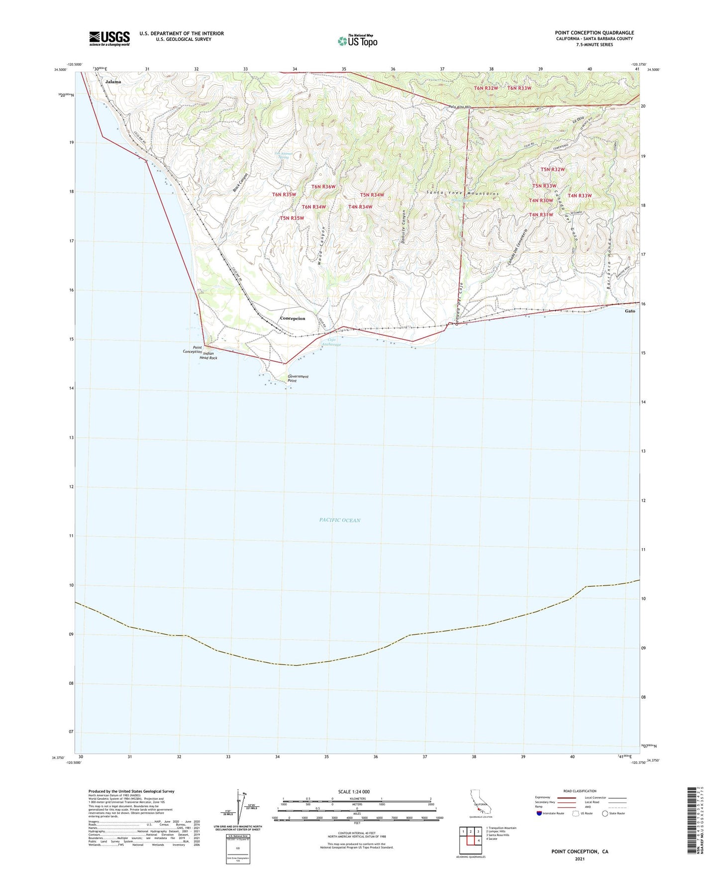
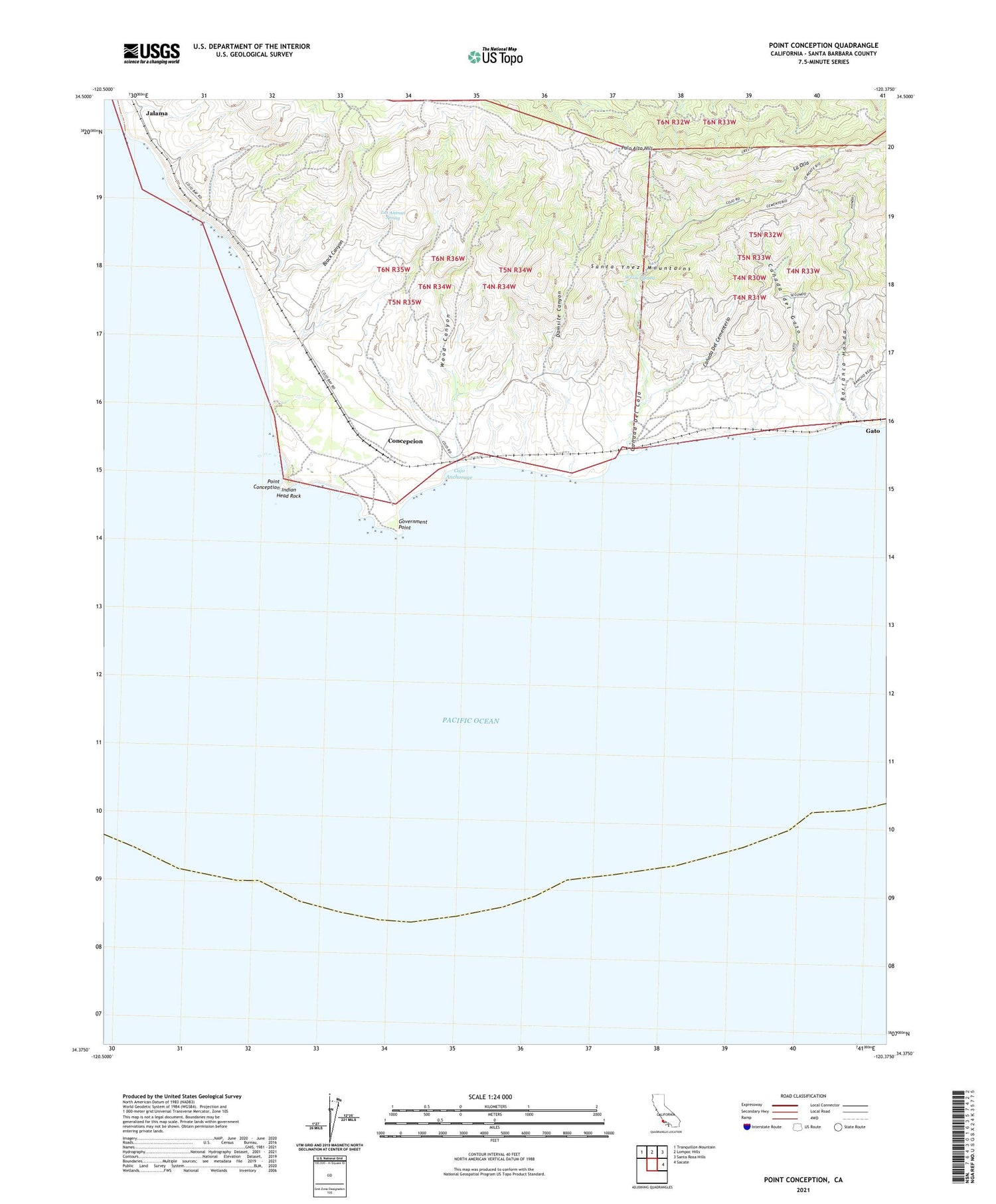
2021 topographic map quadrangle Point Conception in the state of California. Scale: 1:24000. Based on the newly updated USGS 7.5' US Topo map series, this map is in the following counties: Santa Barbara. The map contains contour data, water features, and other items you are used to seeing on USGS maps, but also has updated roads and other features. This is the next generation of topographic maps. Printed on high-quality waterproof paper with UV fade-resistant inks.
Quads adjacent to this one:
Northwest: Tranquillon Mountain
North: Lompoc Hills
Northeast: Santa Rosa Hills
East: Sacate
This map covers the same area as the classic USGS quad with code o34120d4.
Contains the following named places: Barranca Honda, Black Canyon, Canada Del Cementerio, Canada Del Cojo, Canada del Gato, Cojo Anchorage, Cojo Ranch, Concepcion, Damsite Canyon, Gato, Government Point, Indian Head Rock, Jalama, Kunuqug, La Olla, Las Animas Spring, Palo Alto Hill, Point Conception, Point Conception Lighthouse, Shisholop, Willow Spring, Wood Canyon