MyTopo
Pollock Pines California US Topo Map
Couldn't load pickup availability
Also explore the Pollock Pines Forest Service Topo of this same quad for updated USFS data
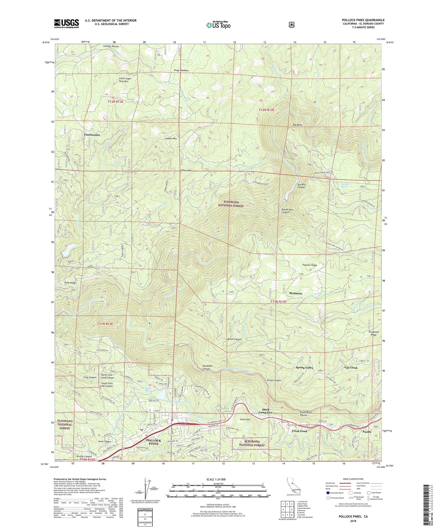
2022 topographic map quadrangle Pollock Pines in the state of California. Scale: 1:24000. Based on the newly updated USGS 7.5' US Topo map series, this map is in the following counties: El Dorado. The map contains contour data, water features, and other items you are used to seeing on USGS maps, but also has updated roads and other features. This is the next generation of topographic maps. Printed on high-quality waterproof paper with UV fade-resistant inks.
Quads adjacent to this one:
West: Slate Mountain
Northwest: Tunnel Hill
North: Devil Peak
Northeast: Robbs Peak
East: Riverton
Southeast: Old Iron Mountain
South: Sly Park
Southwest: Camino
This map covers the same area as the classic USGS quad with code o38120g5.
Contains the following named places: Bear Creek, Big Bend, Big Bend School, Brooks Creek, Brush Canyon, Brush Creek Reservoir, Bullion Bend Historic Marker, Butcherknife Joe, Camino 1009-004 Dam, Camino PowerHouse, Camino Reservoir, Camp Seven, Cement Ravine, Chaix Mountain, Claussenius, Davis Creek, Deadman Spring, Ditch Camp Five, El Dorado County, El Dorado County Fire District Station 17, El Dorado Forebay 97-053 Dam, El Dorado Irrigation District Main Canal, El Dorado Power House, Fresh Pond, Fresh Pond Heliport, Fresh Pond Ravine, Gasparni Creek, Ghost Mountain Campground, Ghost Mountain Ranch Recreation Site, Gold Ridge, Grays Canyon, Harris Tree Farm, Incline Creek, Indian Hatties, Jay Bird Canyon, Jay Bird Spring, Jaybird Power House, Kings Meadow, Little Soldier Creek, Little Sugar Pine Mountain, Long Canyon Forebay, Lovejoy Camp, McManus, North El Dorado Division, North Fork Long Canyon, North Fork Soldier Creek, Onion Creek, Pacific, Pacific Gas and Electric Company Camp 5 Heliport, Pacific Ranger Station, Pines Shopping Center, Pinewood Elementary School, Poho Ridge, Pollock Pines, Pollock Pines Branch El Dorado County Library, Pollock Pines Census Designated Place, Pollock Pines Elementary School, Pollock Pines Post Office, Pollock Pines Recreation Park, Pony Express Village Shopping Center, Randolph Canyon, Rice Cabin, Round Tent Canyon, Saddle Mountain, Silver Creek, Soldier Creek, South Fork Long Canyon, South Fork Soldier Creek, Spring Valley, Sugar Pine Creek, Union Hill, Van Vleck, ZIP Code: 95726


