MyTopo
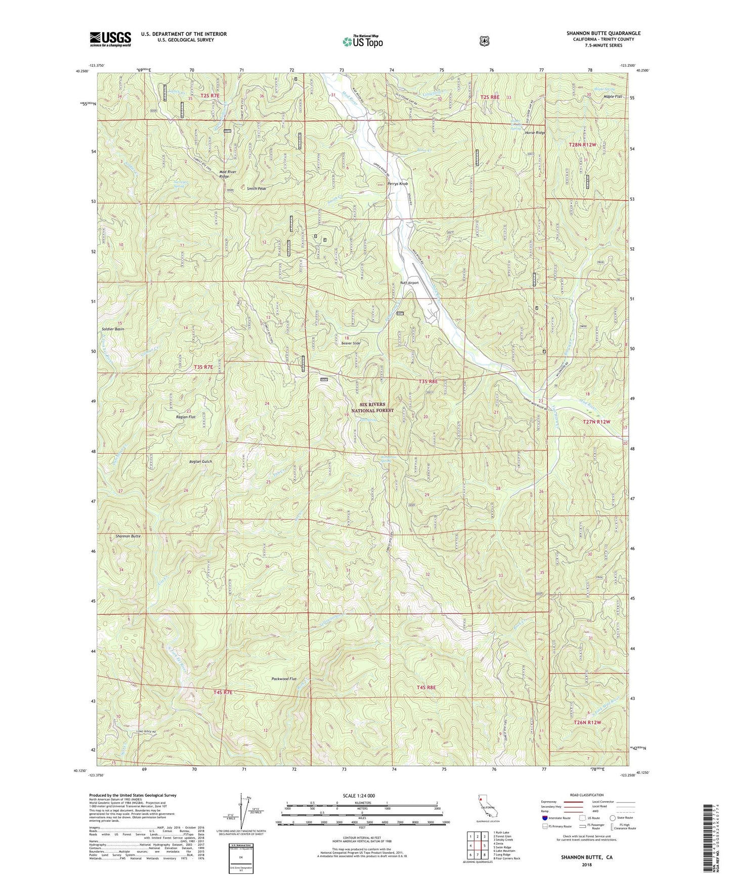
Shannon Butte California US Topo Map
Couldn't load pickup availability
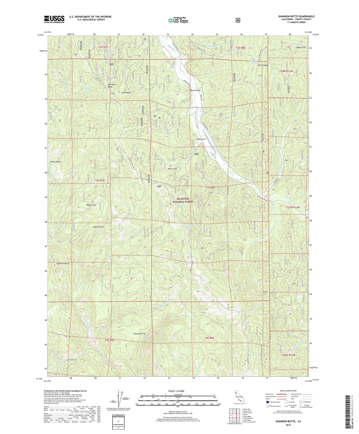
Also explore the Shannon Butte Forest Service Topo of this same quad for updated USFS data
2022 topographic map quadrangle Shannon Butte in the state of California. Scale: 1:24000. Based on the newly updated USGS 7.5' US Topo map series, this map is in the following counties: Trinity. The map contains contour data, water features, and other items you are used to seeing on USGS maps, but also has updated roads and other features. This is the next generation of topographic maps. Printed on high-quality waterproof paper with UV fade-resistant inks.
Quads adjacent to this one:
West: Zenia
Northwest: Ruth Lake
North: Forest Glen
Northeast: Smoky Creek
East: Swim Ridge
Southeast: Four Corners Rock
South: Long Ridge
Southwest: Lake Mountain
This map covers the same area as the classic USGS quad with code o40123b3.
Contains the following named places: Armstrong Creek, Barry Creek, Barry Creek Mine, Barry Creek Trail, Beaver Slide, Ben Arthur Trail, Blair Creek, Browns Camp, Cox Creek, Crabtree Place, Double A Ranch, Dutchman Creek, Gilman Creek, Gilman Ranch, Kettenpom Creek, Littlefield Creek, Lynch Creek, Mad River Division, Maple Flat, Maple Spring, Packwood Flat, Perrys Knob, Raglan Flat, Raglan Gulch, Russ Place, Ruth Airport, Salt Creek, Shannon Butte, Shannon Place, Smith Creek, Smith Peak, Soldier Basin, Soldier Basin Trail, Soldier Creek, Surveyor Spring, Tub Creek, Tub Spring, Van Horn Creek, Water Trough Spring, Wiregrass Spring, Yellowjacket Creek, Yellowjacket Place