MyTopo
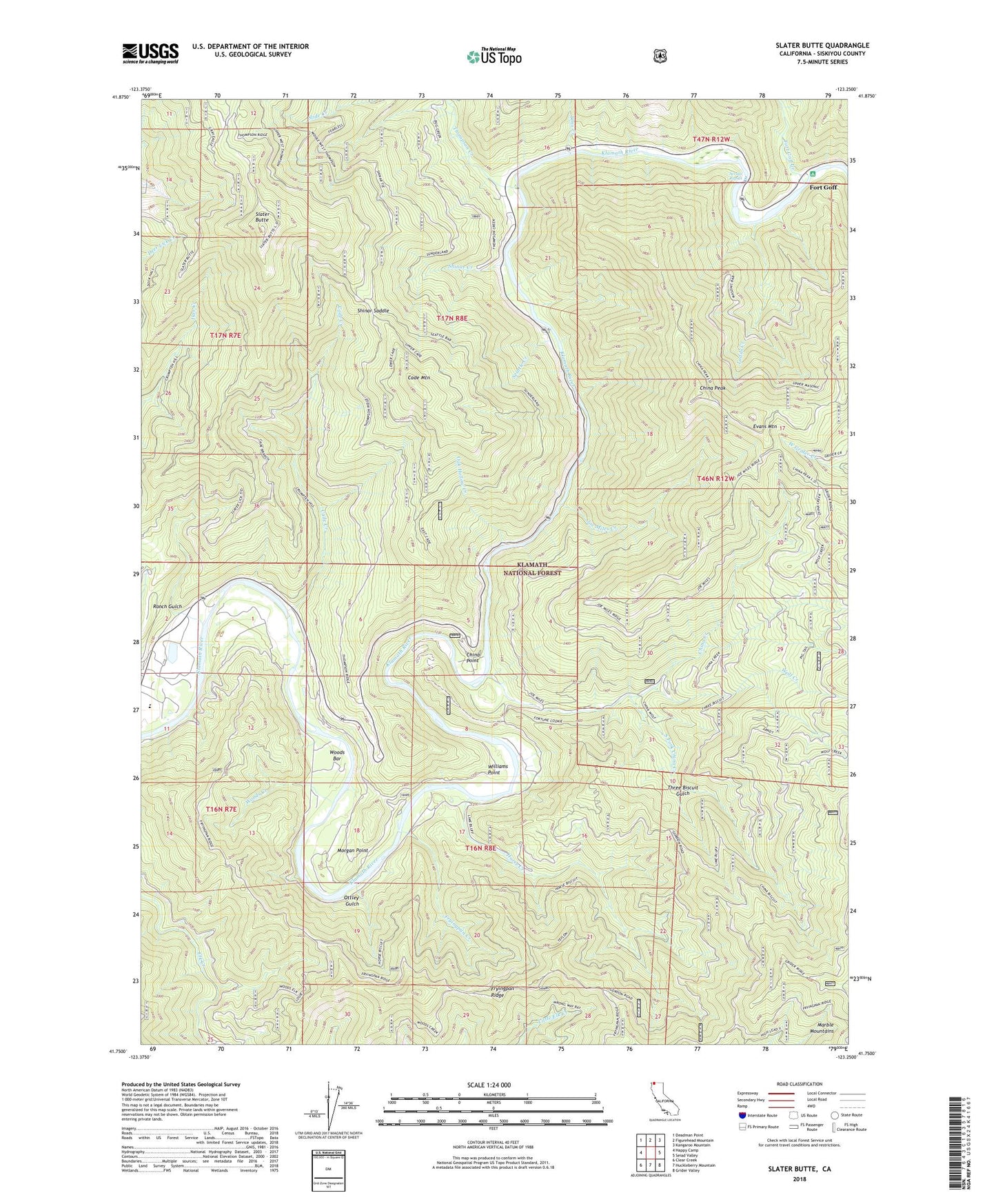
Slater Butte California US Topo Map
Couldn't load pickup availability
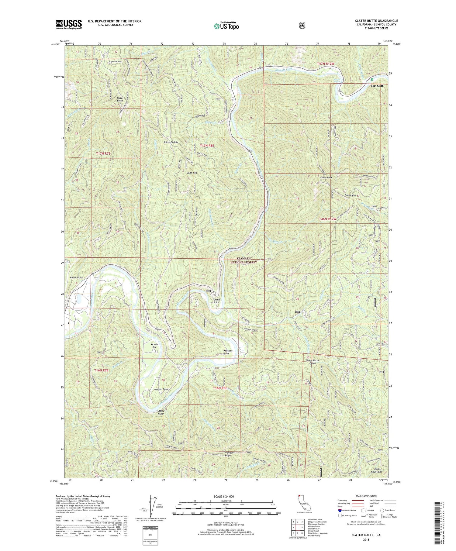
Also explore the Slater Butte Forest Service Topo of this same quad for updated USFS data
2022 topographic map quadrangle Slater Butte in the state of California. Scale: 1:24000. Based on the newly updated USGS 7.5' US Topo map series, this map is in the following counties: Siskiyou. The map contains contour data, water features, and other items you are used to seeing on USGS maps, but also has updated roads and other features. This is the next generation of topographic maps. Printed on high-quality waterproof paper with UV fade-resistant inks.
Quads adjacent to this one:
West: Happy Camp
Northwest: Deadman Point
North: Figurehead Mountain
Northeast: Kangaroo Mountain
East: Seiad Valley
Southeast: Grider Valley
South: Huckleberry Mountain
Southwest: Clear Creek
This map covers the same area as the classic USGS quad with code o41123g3.
Contains the following named places: Bonetta Bee Mine, Cade Creek, Cade Mountain, China Creek, China Creek Mine, China Peak, China Point, Evans Mountain, Fort Goff, Fort Goff Campground, Fort Goff Cemetery, Fort Goff Creek, Fryingpan Creek, Fryingpan Ridge, Gordons Ferry, Grey Eagle Mine, Horse Creek, Joe Miles Creek, Klamath Wild and Scenic River, Ladds Creek, Morgan Point, Muck a Muck Mine, Nolton, Nolton School, Oak Hollow Creek, Ottley Gulch, Ranch Gulch, Reeves Mine, Reeves Ranch, Richardson Bedrock Mine, Savage Rapids, Seattle Creek, Shinar Creek, Shinar Saddle, Slater Butte, South Fork China Creek, Thompson Creek, Three Biscuit Gulch, Tims Creek, Williams Point, Williams Point Mine, Wolf Creek, Woods Bar, Woods Creek, ZIP Code: 96049