MyTopo
Solomon Peak California US Topo Map
Couldn't load pickup availability
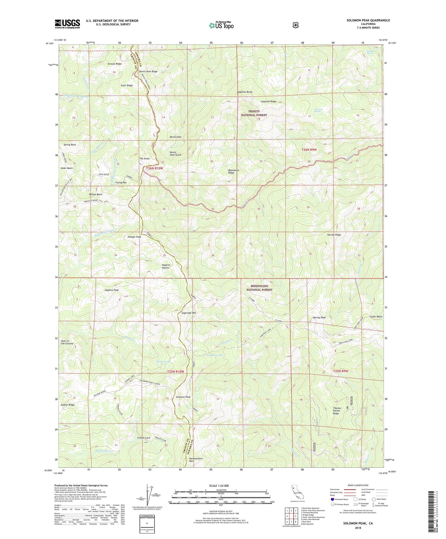
Also explore the Solomon Peak Forest Service Topo of this same quad for updated USFS data
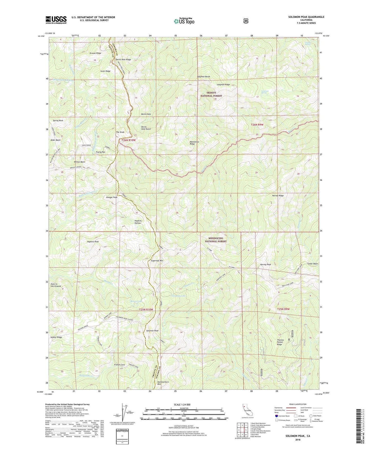
2022 topographic map quadrangle Solomon Peak in the state of California. Scale: 1:24000. Based on the newly updated USGS 7.5' US Topo map series, this map is in the following counties: Tehama, Trinity. The map contains contour data, water features, and other items you are used to seeing on USGS maps, but also has updated roads and other features. This is the next generation of topographic maps. Printed on high-quality waterproof paper with UV fade-resistant inks.
Quads adjacent to this one:
West: Wrights Ridge
Northwest: Black Rock Mountain
North: North Yolla Bolly Mountains
Northeast: Tomhead Mountain
East: South Yolla Bolly Mountains
Southeast: Ball Mountain
South: Buck Rock
Southwest: Leech Lake Mountain
This map covers the same area as the classic USGS quad with code o40122a8.
Contains the following named places: Cedar Basin, D Camp, Devils Hole, Devils Hole Ridge Trail, French Cove, French Trail, Frying Pan, Grouse Ridge, Hammerhorn Mountain, Hammerhorn Ridge, Harvey Peak, Harvey Ridge, Hawk Camp, Hole-in-the-Ground, Hopkins Hollow, Hopkins Peak, Ides Cove National Recreation Trail, Johnson Headquarters, Kingsley Lake, Last Camp, Lazyman Butte, Lazyman Butte Trail, Lazyman Camp, Lazyman Ridge, Lazyman Spring, Manzanita Ridge, Minnie Lake, Robinson Creek, Scott Ridge, Soldier Ridge, Soldier Trail, Solomon Peak, Spring Rock, Sugarloaf Mountain, Sulphur Spring, The Knob, Thomes Pocket, Thomes Pocket Recreation Site, Thomes Pocket Ridge, Vinegar Peak, Willow Basin, Willow Basin Creek