
MyTopo
Tisdale Weir California US Topo Map
Couldn't load pickup availability
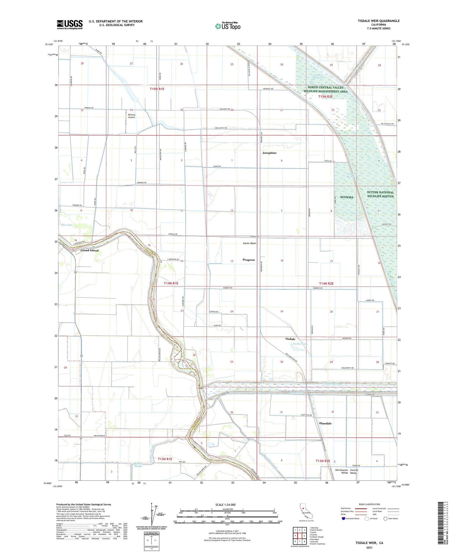
2021 topographic map quadrangle Tisdale Weir in the state of California. Scale: 1:24000. Based on the newly updated USGS 7.5' US Topo map series, this map is in the following counties: Sutter, Colusa. The map contains contour data, water features, and other items you are used to seeing on USGS maps, but also has updated roads and other features. This is the next generation of topographic maps. Printed on high-quality waterproof paper with UV fade-resistant inks.
Quads adjacent to this one:
West: Grimes
Northwest: Meridian
North: Sutter Buttes
Northeast: Sutter
East: Gilsizer Slough
Southeast: Sutter Causeway
South: Kirkville
Southwest: Dunnigan
Contains the following named places: Eddys Ferry, Fraziers Landing, Grand Island, Hinsdale, Joesphine, Long Lake, Moronis Airport, Progress, Purdue Lake, Tisdale, Tisdale By-Pass, Tisdale Weir, Wilkins Slough, Winship Elementary School, ZIP Code: 95957


