
MyTopo
Turlock Lake California US Topo Map
Couldn't load pickup availability
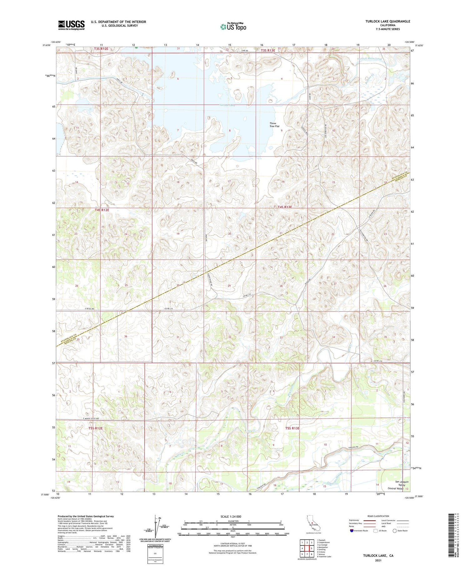
2021 topographic map quadrangle Turlock Lake in the state of California. Scale: 1:24000. Based on the newly updated USGS 7.5' US Topo map series, this map is in the following counties: Stanislaus, Merced. The map contains contour data, water features, and other items you are used to seeing on USGS maps, but also has updated roads and other features. This is the next generation of topographic maps. Printed on high-quality waterproof paper with UV fade-resistant inks.
Quads adjacent to this one:
West: Montpelier
Northwest: Paulsell
North: Cooperstown
Northeast: La Grange
East: Snelling
Southeast: Yosemite Lake
South: Winton
Southwest: Cressey
This map covers the same area as the classic USGS quad with code o37120e5.
Contains the following named places: Dickenson School, Lafayette School, Sierra Vista Dairy, Three Tree Flat, Turlock Lake, Turlock Lake 68-003 Dam


