MyTopo
Villa Creek California US Topo Map
Couldn't load pickup availability
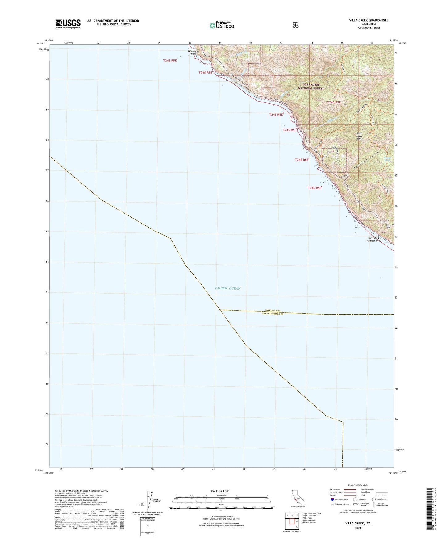
2021 topographic map quadrangle Villa Creek in the state of California. Scale: 1:24000. Based on the newly updated USGS 7.5' US Topo map series, this map is in the following counties: Monterey, San Luis Obispo. The map contains contour data, water features, and other items you are used to seeing on USGS maps, but also has updated roads and other features. This is the next generation of topographic maps. Printed on high-quality waterproof paper with UV fade-resistant inks.
Quads adjacent to this one:
Northwest: Cape San Martin OE W
North: Cape San Martin
Northeast: Alder Peak
East: Burro Mountain
Southeast: Piedras Blancas
This map covers the same area as the classic USGS quad with code o35121g4.
Contains the following named places: Alder Creek, Buckeye Campground, Buckeye Spring, Cruickshank Campground, Evans Brothers Cow Camp, Los Burros Mine, Lower Cruickshank Campground, Mud Creek, Old Cruikshank Ranch, Redwood Gulch, Silver Creek Campground, Soda Spring Creek, Spruce Creek, Villa Campground, Villa Creek, Whaleboat Rock, White Rock Number Two