MyTopo
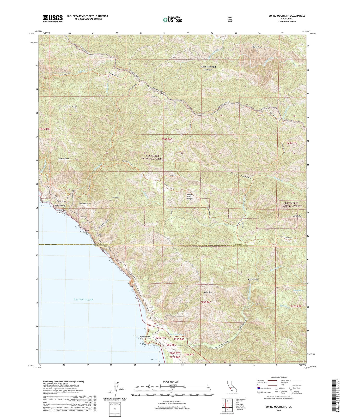
Burro Mountain California US Topo Map
Couldn't load pickup availability
Also explore the Burro Mountain Forest Service Topo of this same quad for updated USFS data
2021 topographic map quadrangle Burro Mountain in the state of California. Scale: 1:24000. Based on the newly updated USGS 7.5' US Topo map series, this map is in the following counties: Monterey, San Luis Obispo. The map contains contour data, water features, and other items you are used to seeing on USGS maps, but also has updated roads and other features. This is the next generation of topographic maps. Printed on high-quality waterproof paper with UV fade-resistant inks.
Quads adjacent to this one:
West: Villa Creek
Northwest: Cape San Martin
North: Alder Peak
Northeast: Jolon
East: Burnett Peak
Southeast: San Simeon
South: Piedras Blancas
This map covers the same area as the classic USGS quad with code o35121g3.
Contains the following named places: Bald Top, Burro Mountain, Calizona Mine, Chris Flood Creek, Davis Canyon, Dutra Creek, Dutra Flat Campground, Dutra Place, Elk Campground, Estrada Creek, Estrella Campground, Jones Mountain, Lion Peak, Lions Den Campground, Little Burros Creek, Lottie Potrero Campground, Mount Mars, Old Jones Ranch, Polar School, Polar Star Mine, Ragged Point, Ray Evans Ranch, Salmon Cone, Salmon Creek, Salmon Creek Ranger Station, Salmon Head, San Carpoforo Campground, San Carpoforo Creek, San Carpoforo Valley, School Spring, Silver Creek Campground, Silver Peak, Silver Peak Campground, Silver Peak Wilderness, Spruce Campground, Thorndyke Top, Three Peaks, Three Peaks Campground, Turkey Springs Campground, W R Hearst Foremans Headquarters, Wagner Creek, White Rock Number One, Windy Point


