MyTopo
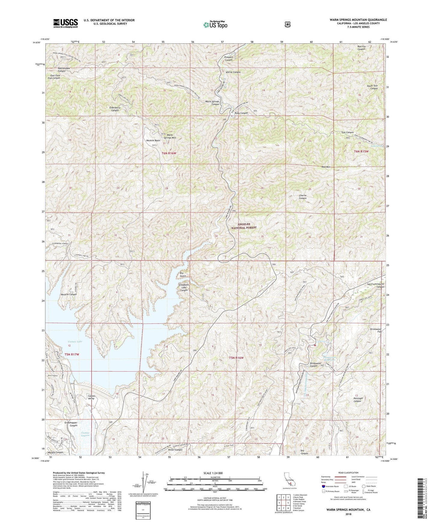
Warm Springs Mountain California US Topo Map
Couldn't load pickup availability
2022 topographic map quadrangle Warm Springs Mountain in the state of California. Scale: 1:24000. Based on the newly updated USGS 7.5' US Topo map series, this map is in the following counties: Los Angeles. The map contains contour data, water features, and other items you are used to seeing on USGS maps, but also has updated roads and other features. This is the next generation of topographic maps. Printed on high-quality waterproof paper with UV fade-resistant inks.
Quads adjacent to this one:
West: Whitaker Peak
Northwest: Liebre Mountain
North: Burnt Peak
Northeast: Lake Hughes
East: Green Valley
Southeast: Mint Canyon
South: Newhall
Southwest: Val Verde
This map covers the same area as the classic USGS quad with code o34118e5.
Contains the following named places: Baal Point Picnic Area, Bee School, Bitter Canyon, Canyon Christian Camp, Castaic Dam Heliport, Castaic Lagoon, Castaic Lake, Castaic Lake Dam, Castaic Lake State Recreation Area, Castaic Tunnel Number One, Castaic Valley Siphon, Daries Ranch, Drinkwater 6-016 Dam, Drinkwater Canyon, Drinkwater Flat, Drinkwater Reservoir, Dry Gulch, Dry Target Shooting Area, Elizabeth Lake Canyon, Elizabeth Lake Canyon Campground, Elizabeth Lake Guard Station, Grasshopper Canyon, Kleine Canyon, Los Angeles Aqueduct, Necktie Basin, Necktie Canyon, Newhall Division, Prospect Campground, Prospect Canyon, Rattlesnake Canyon, Red Mountain, Ruby Canyon, Ruby Clearwater Truck Trail, Ruby Spring, San Francisquito Powerhouse Number Two, South Tule Canyon, Tule Canyon, Tule Target Shooting Area, United States Forest Service Angeles National Forest Station - San Francisquito Fire Station, Warm Springs Camp, Warm Springs Canyon, Warm Springs Divide Truck Trail, Warm Springs Fish Canyon Truck Trail, Warm Springs Mountain, Warm Springs Necktie Trail, Warm Springs Trail


