MyTopo
Green Valley California US Topo Map
Couldn't load pickup availability
Also explore the Green Valley Forest Service Topo of this same quad for updated USFS data
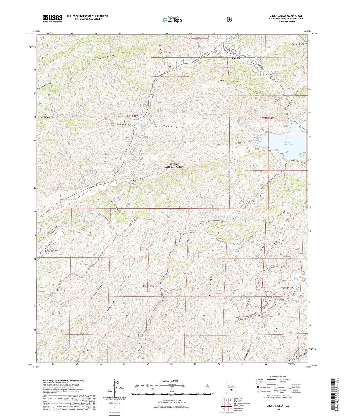
2021 topographic map quadrangle Green Valley in the state of California. Scale: 1:24000. Based on the newly updated USGS 7.5' US Topo map series, this map is in the following counties: Los Angeles. The map contains contour data, water features, and other items you are used to seeing on USGS maps, but also has updated roads and other features. This is the next generation of topographic maps. Printed on high-quality waterproof paper with UV fade-resistant inks.
Quads adjacent to this one:
West: Warm Springs Mountain
Northwest: Burnt Peak
North: Lake Hughes
Northeast: Del Sur
East: Sleepy Valley
Southeast: Agua Dulce
South: Mint Canyon
Southwest: Newhall
This map covers the same area as the classic USGS quad with code o34118e4.
Contains the following named places: Aqueduct Spring, Aqueduct Tunnel, Baird Canyon, Bee Canyon, Big Oaks Campground, Bouquet Campground, Bouquet Campground Number Four, Bouquet Campground Number Three, Bouquet Canyon 6-031 Dam, Bouquet Canyon Dam, Bouquet Guard Station, Bouquet Pipeline, Bouquet Reservoir, California Mine, Camp 14 Heliport, Chaparral Campground, Cherry Canyon, Clearwater Canyon, Del Sur Ridge, Dowd Canyon, Fall Canyon, Green Valley, Green Valley Census Designated Place, Jupiter Mountain, Las Cantilles, Las Cantilles Picnic Area, Los Angeles County Fire Department Station 157, Mint Canyon Campground, Mystic Canyon, Plum Spring, Road Camp Number Seven, Rowher Canyon, San Francisquito Powerhouse Number One, Saugus Del Sur Truck Trail, Savgus District Ranger Office, Silver King Mine, South Portal Campground, South Portal Canyon, Spunky Canyon, Spunky Canyon Campground, Streamside Campground, Table Rock, Texas Canyon Engineering Work Center, Texas Target Shooting Area, Tule Ridge, United States Forest Service Angeles National Forest - Texas Canyon Fire Station, Whisky Spring, Zuni Campground, ZIP Code: 91390


