MyTopo
White Horse California US Topo Map
Couldn't load pickup availability
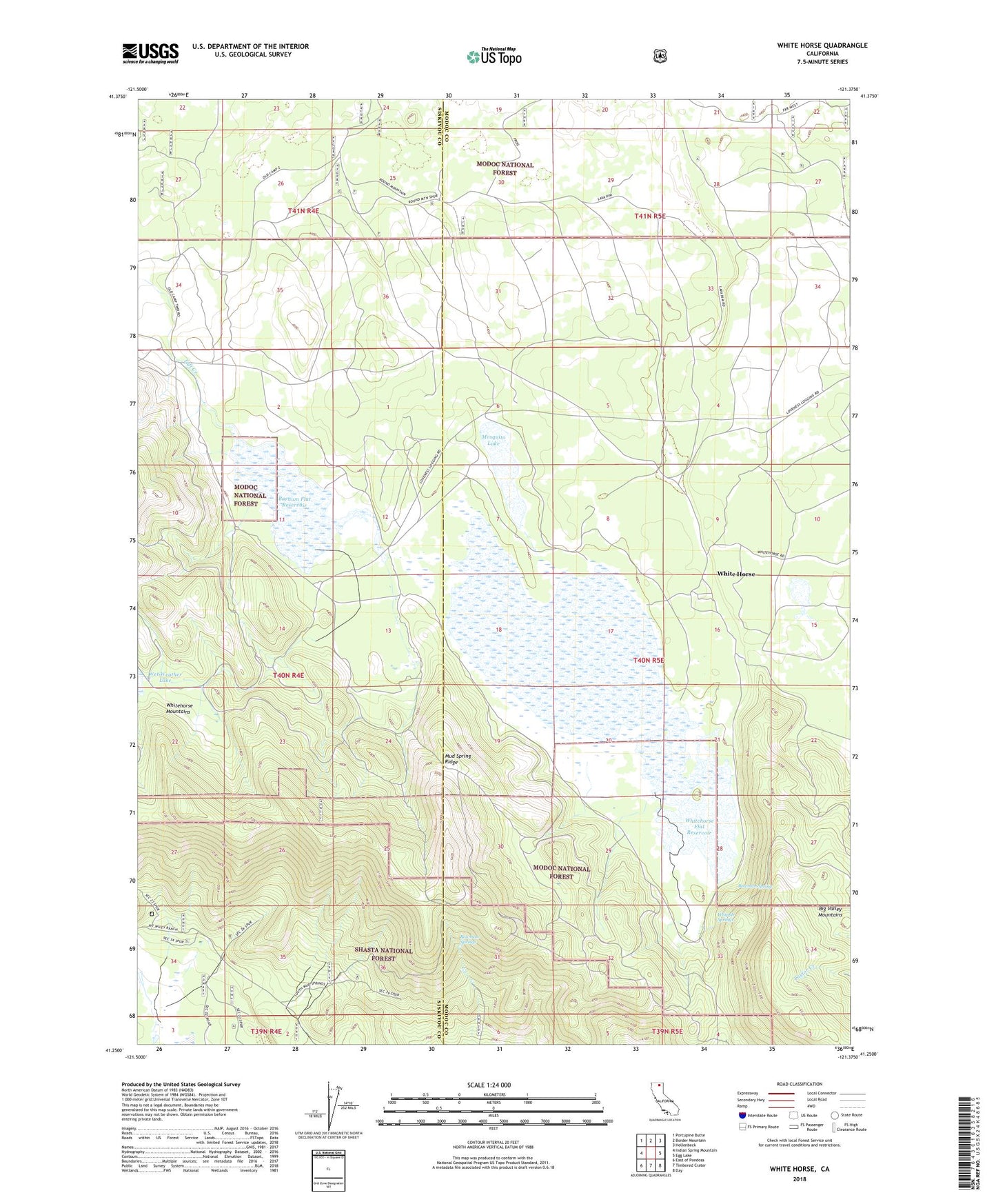
2022 topographic map quadrangle White Horse in the state of California. Scale: 1:24000. Based on the newly updated USGS 7.5' US Topo map series, this map is in the following counties: Modoc, Siskiyou. The map contains contour data, water features, and other items you are used to seeing on USGS maps, but also has updated roads and other features. This is the next generation of topographic maps. Printed on high-quality waterproof paper with UV fade-resistant inks.
Quads adjacent to this one:
West: Indian Spring Mountain
Northwest: Porcupine Butte
North: Border Mountain
Northeast: Hollenbeck
East: Egg Lake
Southeast: Day
South: Timbered Crater
Southwest: East of Pondosa
This map covers the same area as the classic USGS quad with code o41121c4.
Contains the following named places: Barnum Flat Reservoir, Bowman Spring, Bowman Springs, Hole In Rock, McArthur Cow Camp, Mosquito Lake, Mud Spring, Mud Spring Ridge, Wet Weather Lake, Whipple Springs, White Horse, Whitehorse Flat Reservoir