MyTopo
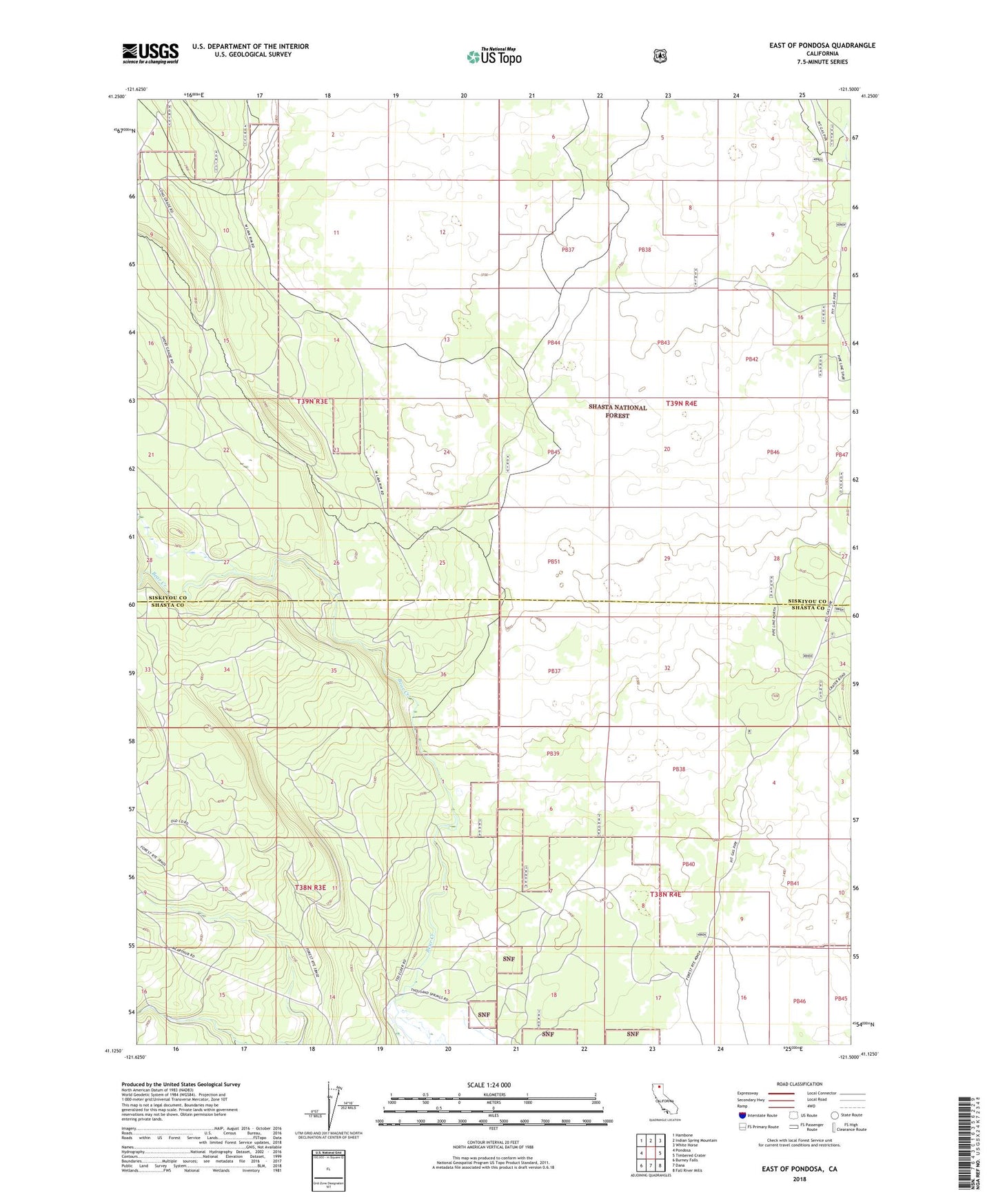
East of Pondosa California US Topo Map
Couldn't load pickup availability
Also explore the East of Pondosa Forest Service Topo of this same quad for updated USFS data
2021 topographic map quadrangle East of Pondosa in the state of California. Scale: 1:24000. Based on the newly updated USGS 7.5' US Topo map series, this map is in the following counties: Siskiyou, Shasta. The map contains contour data, water features, and other items you are used to seeing on USGS maps, but also has updated roads and other features. This is the next generation of topographic maps. Printed on high-quality waterproof paper with UV fade-resistant inks.
Quads adjacent to this one:
West: Pondosa
Northwest: Hambone
North: Indian Spring Mountain
Northeast: White Horse
East: Timbered Crater
Southeast: Fall River Mills
South: Dana
Southwest: Burney Falls
This map covers the same area as the classic USGS quad with code o41121b5.
Contains the following named places: Hammond Crossing, Spalding Corner