
MyTopo
Wilbur Springs California US Topo Map
Couldn't load pickup availability
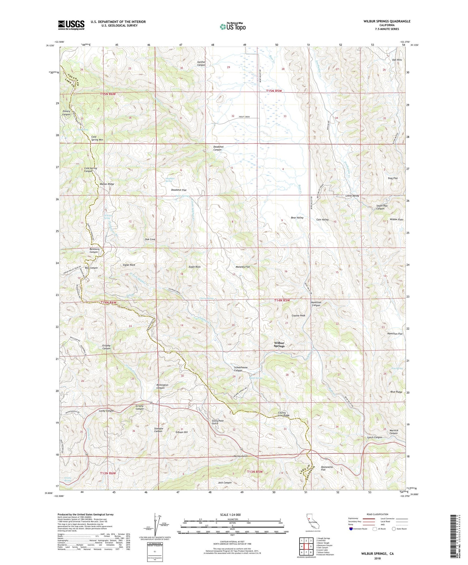
2024 topographic map quadrangle Wilbur Springs in the state of California. Scale: 1:24000. Based on the newly updated USGS 7.5' US Topo map series, this map is in the following counties: Colusa, Lake. The map contains contour data, water features, and other items you are used to seeing on USGS maps, but also has updated roads and other features. This is the next generation of topographic maps. Printed on high-quality waterproof paper with UV fade-resistant inks.
Quads adjacent to this one:
West: Benmore Canyon
Northwest: Hough Springs
North: Leesville
Northeast: Manor Slough
East: Salt Canyon
Southeast: Glascock Mountain
South: Wilson Valley
Southwest: Lower Lake
This map covers the same area as the classic USGS quad with code o39122a4.
Contains the following named places: Abbott Mine, Bear Valley, Blank Spring, Blue Ridge, Cain Valley, Central Mine, Cherry Spring, Clyde Mine, Cold Spring, Cold Spring Mountain, County Line Ridge, Coyote Peak, Deadshot Canyon, Deadshot Flat, Deadshot Spring, Destanella Flat, Eagle Rock, East Fork Sulphur Creek, Eaton Springs, Elgin Mine, Empire Mine, Freshwater Branch, Gaither Canyon, Gibson Hill, Glory Hole Gulch, Grigsby Canyon, Grizzly Spring, Hamilton Canyon, Hamilton Flat, Hog Spring, Little Valley, Lucky Canyon, Lynch Canyon, Malaney Flat, Manzanita Mine, Oak Cove, Oat Hills, Rathburn Mine, Remington Canyon, Salt Branch, Schoolhouse Canyon, Signal Rock, South Rail Canyon, Stag Flat, Sulphur Creek, Til Jones Spring, Trout Creek, Turkey Run Mine, Walker Ridge, Warnick Canyon, West Fork Sulphur Creek, Wide Awake Mine, Widow Flats, Wilbur Springs


