MyTopo
Avondale Colorado US Topo Map
Couldn't load pickup availability
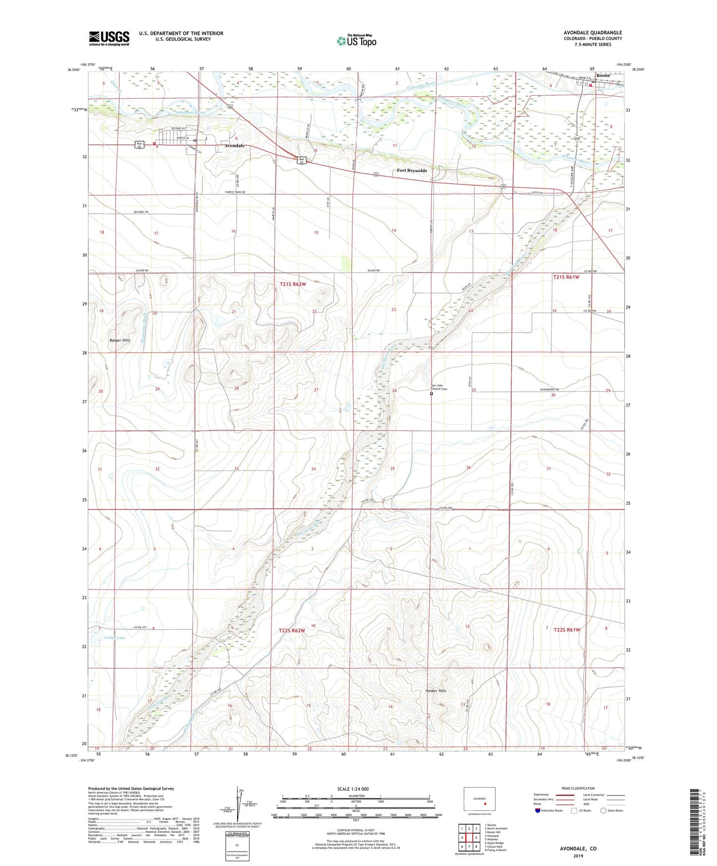
2022 topographic map quadrangle Avondale in the state of Colorado. Scale: 1:24000. Based on the newly updated USGS 7.5' US Topo map series, this map is in the following counties: Pueblo. The map contains contour data, water features, and other items you are used to seeing on USGS maps, but also has updated roads and other features. This is the next generation of topographic maps. Printed on high-quality waterproof paper with UV fade-resistant inks.
Quads adjacent to this one:
West: Vineland
Northwest: Devine
North: North Avondale
Northeast: Boone Hill
East: Nepesta
Southeast: Flying A Ranch
South: Chicos Well
Southwest: Doyle Bridge
This map covers the same area as the classic USGS quad with code o38104b3.
Contains the following named places: Avondale, Avondale Census Designated Place, Avondale Post Office, Boone, Boone Post Office, Boone Volunteer Fire Department, Chico Creek, Collier Ditch, Fort Reynolds, Hooker Hills, Lodge Lake, Pueblo Rural Fire Protection District Station 3, San Jose Church, San Jose Church Cemetery, Town of Boone, Welton Ditch