MyTopo
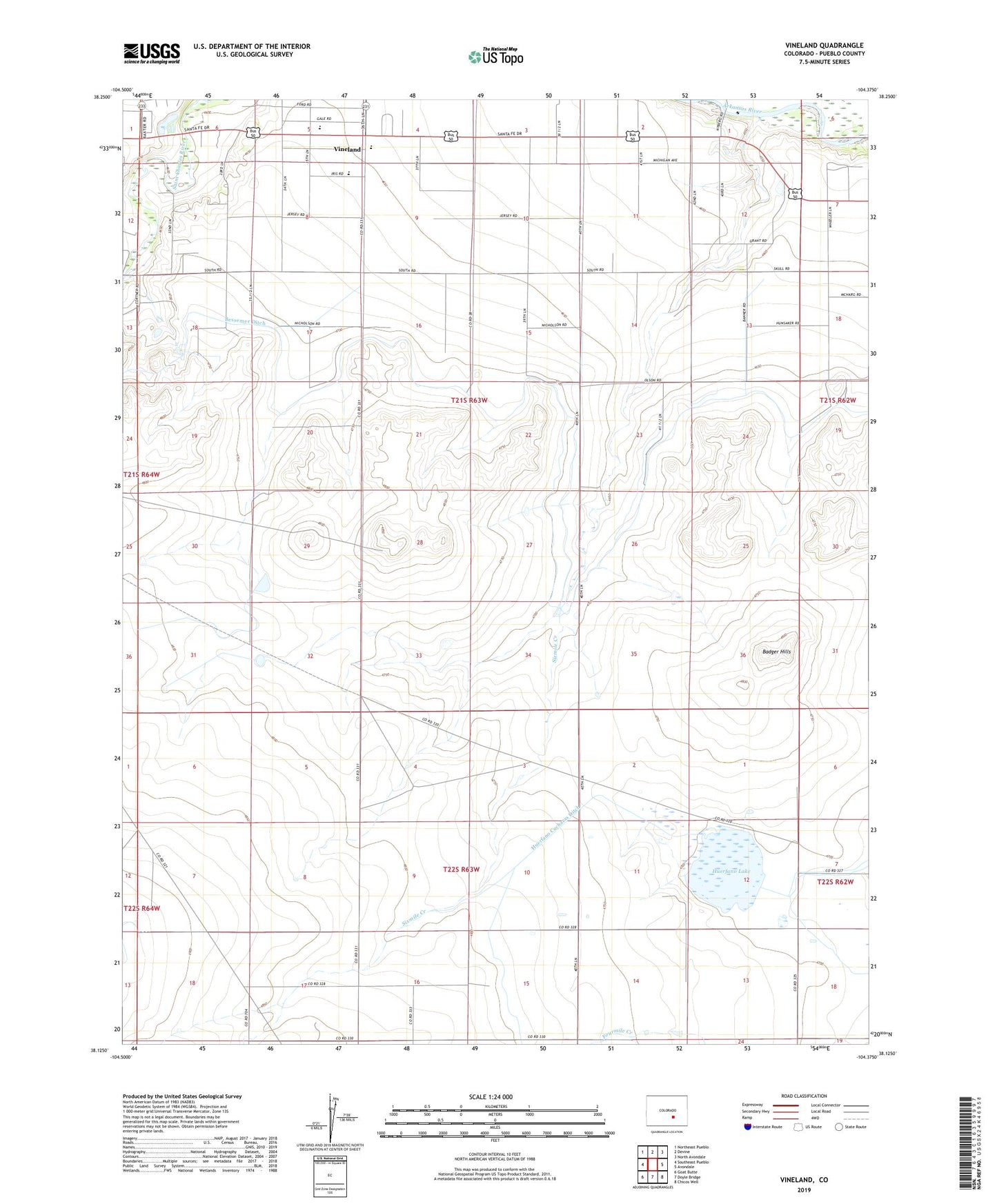
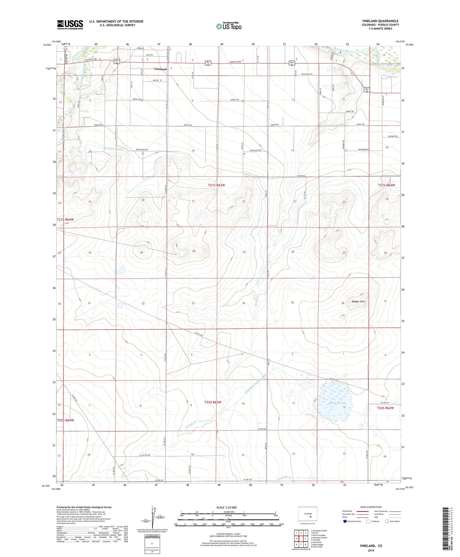
Vineland Colorado US Topo Map
Couldn't load pickup availability
2022 topographic map quadrangle Vineland in the state of Colorado. Scale: 1:24000. Based on the newly updated USGS 7.5' US Topo map series, this map is in the following counties: Pueblo. The map contains contour data, water features, and other items you are used to seeing on USGS maps, but also has updated roads and other features. This is the next generation of topographic maps. Printed on high-quality waterproof paper with UV fade-resistant inks.
Quads adjacent to this one:
West: Southeast Pueblo
Northwest: Northeast Pueblo
North: Devine
Northeast: North Avondale
East: Avondale
Southeast: Chicos Well
South: Doyle Bridge
Southwest: Goat Butte
This map covers the same area as the classic USGS quad with code o38104b4.
Contains the following named places: Avondale Division, Badger Hills, Banner School, Broadacre Landfill, Huerfano Lake, Lakeside School, Pueblo County High School, Pueblo Rural Fire Protection District Station 2, Sixmile Creek, Vineland, Vineland Census Designated Place, Vineland Church, ZIP Code: 81006