MyTopo
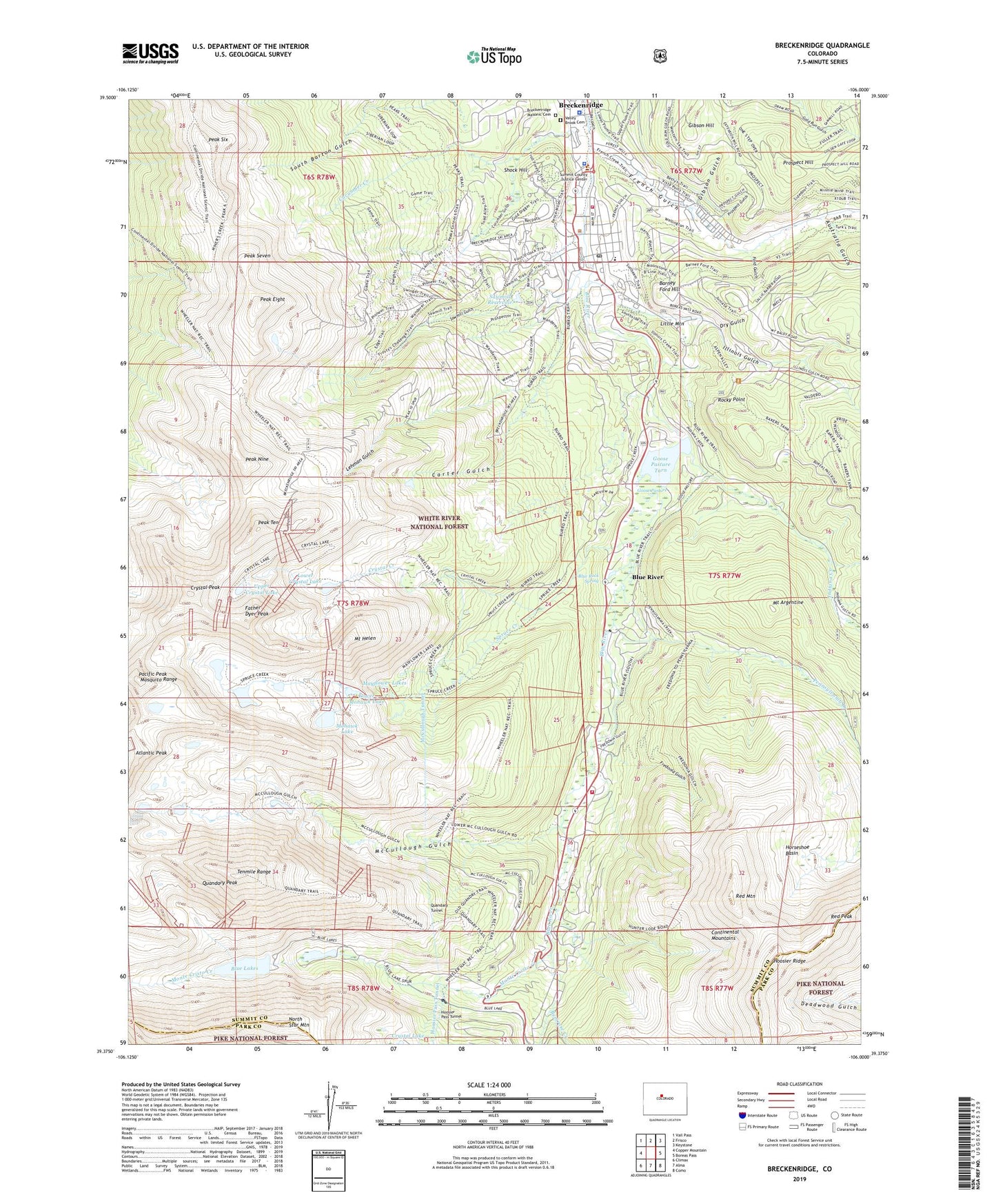
Breckenridge Colorado US Topo Map
Couldn't load pickup availability
Also explore the Breckenridge Forest Service Topo of this same quad for updated USFS data
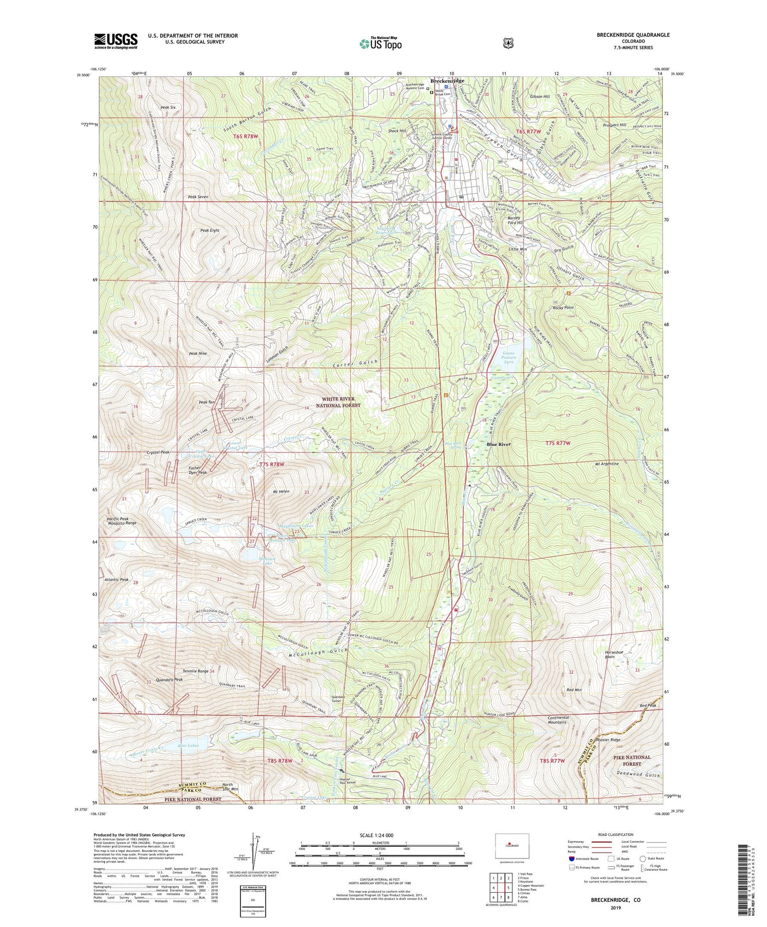
2022 topographic map quadrangle Breckenridge in the state of Colorado. Scale: 1:24000. Based on the newly updated USGS 7.5' US Topo map series, this map is in the following counties: Summit, Park. The map contains contour data, water features, and other items you are used to seeing on USGS maps, but also has updated roads and other features. This is the next generation of topographic maps. Printed on high-quality waterproof paper with UV fade-resistant inks.
Quads adjacent to this one:
West: Copper Mountain
Northwest: Vail Pass
North: Frisco
Northeast: Keystone
East: Boreas Pass
Southeast: Como
South: Alma
Southwest: Climax
This map covers the same area as the classic USGS quad with code o39106d1.
Contains the following named places: Australia Gulch, Barney Ford Hill, Bemrose Creek, Blue Lakes, Blue River, Blue Rock Spring, Breckenridge, Breckenridge Masonic Cemetery, Breckenridge Mine, Breckenridge Police Department, Breckenridge Post Office, Breckenridge Ski Area, Briar Rose Mine, Burro Trail, Cally Mine, Carter Gulch, Commodore Placer Mine, Crystal Creek, Crystal Peak, Cucumber Creek, Cucumber Gulch, Dewey Mine, Dry Gulch, Excelsior Mine, Father Dyer Peak, Ford Gulch, Fredonia Gulch, French Gulch, Gibson Gulch, Gibson Hill, Gold Nugget Placer Mine, Goose Pasture, Goose Pasture Dam, Goose Pasture Tarn, Governor Mine, Harrison Tunnel Mine, Hendrix Gold Mining Property Mine, Hoosier Ridge, Horseshoe Basin, Hunter Mine, Illinois Gulch, Indiana Creek, KHTH-AM (Dillon), KSMT-FM (Breckenridge), Leadville Land District Mine, Lehman Gulch, Little Mountain, Lone Bug Mine, Lower Crystal Lake, Lower Mohawk Lake, Maxwell Mine, Mayflower Lakes, McCullough Gulch, McCullough Tunnel, Mohawk Lake, Monitor Mine, Monte Cristo Creek, Monte Cristo Mine, Mount Argentine, Mount Helen, Navy Mine, Nickel Plate Mine, North Star Mountain, Overlook Athletic Club Heliport, Pacific Peak, Pacific Tarn, Pacific-Gold Dust Mine, Palmer Pit, Peak Eight, Peak Nine, Peak Seven, Peak Seven West, Peak Six, Peak Ten, Pennsylvania Creek, Player Mine, Preston, Prospect Gulch, Prospect Hill, Puzzle Ouray Mine, Quandary Creek, Quandary Peak, Quandary Tunnel, Red Mountain, Red Peak, Red White and Blue Fire District Main Station 6, Red White and Blue Fire District Station 7, Red Wing Mine, Reliance Place Shopping Center, Rocky Point, Royal Gorge Mine, Saint Anthony Breckenridge Community Clinic Emergency Center, Sawmill Dam, Sawmill Gulch, Sawmill Reservoir, Shock Hill, Siam Mountain Mine, Silence Mine, Spruce Creek, Standard Number One Mine, Summit County Sheriff's Office, Tenmile Range, Tordal Estates, Town of Blue River, Town of Breckenridge, Upper Blue Dam, Upper Blue Lake, Upper Crystal Lake, Valley Brook Cemetery, Wellington Mine, Wheeler Trail, Willard Mine, ZIP Code: 80424


