MyTopo
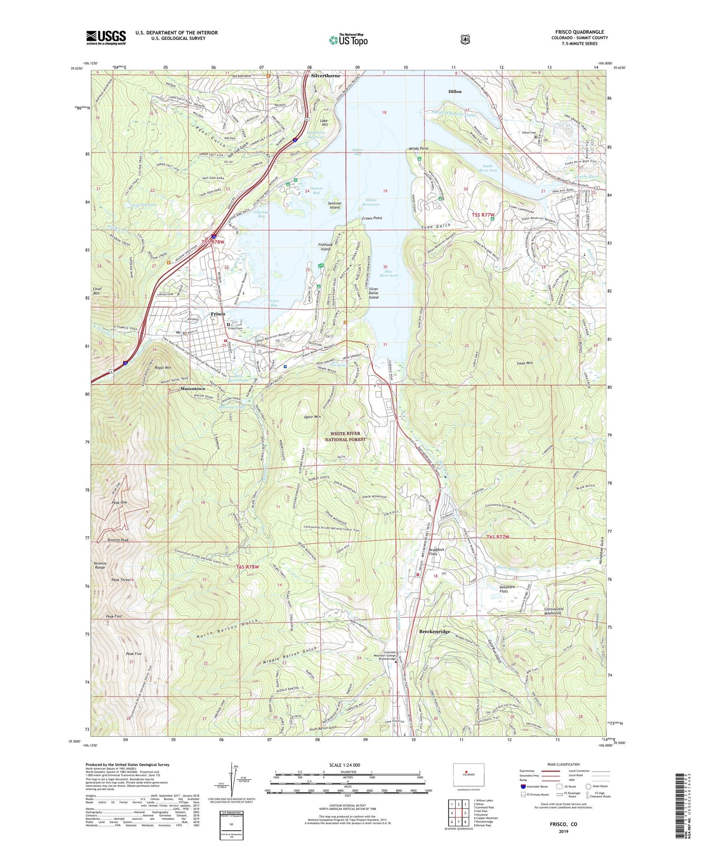
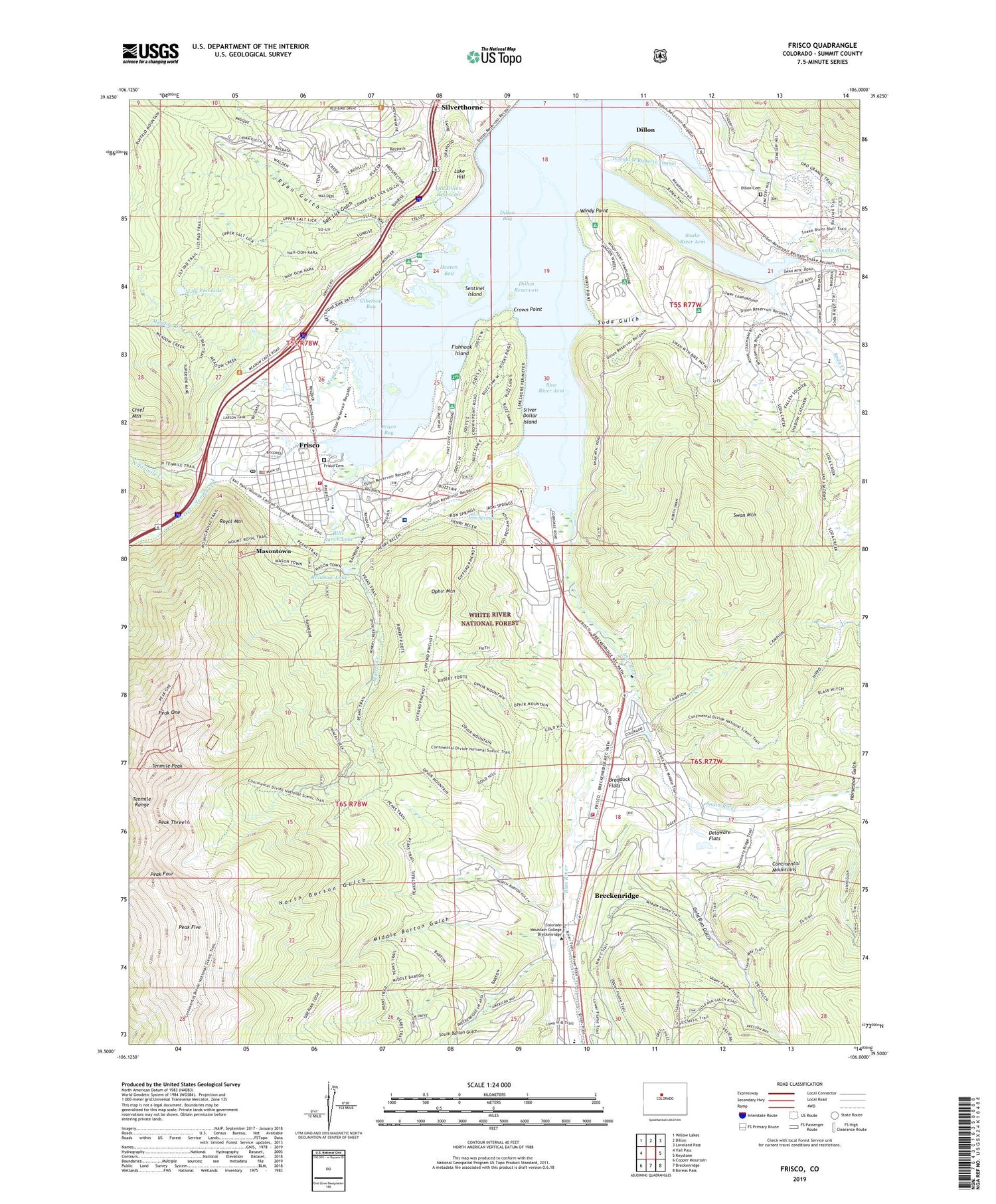
Frisco Colorado US Topo Map
Couldn't load pickup availability
Also explore the Frisco Forest Service Topo of this same quad for updated USFS data
2022 topographic map quadrangle Frisco in the state of Colorado. Scale: 1:24000. Based on the newly updated USGS 7.5' US Topo map series, this map is in the following counties: Summit. The map contains contour data, water features, and other items you are used to seeing on USGS maps, but also has updated roads and other features. This is the next generation of topographic maps. Printed on high-quality waterproof paper with UV fade-resistant inks.
Quads adjacent to this one:
West: Vail Pass
Northwest: Willow Lakes
North: Dillon
Northeast: Loveland Pass
East: Keystone
Southeast: Boreas Pass
South: Breckenridge
Southwest: Copper Mountain
This map covers the same area as the classic USGS quad with code o39106e1.
Contains the following named places: Bills Ranch Lake, Blue River Arm, Blue River Inlet Fishermans Parking, Braddock Flats, Breckenridge Airport, Breckenridge Division, Colorado State Patrol Frisco Post, Como Claims, Crown Point, Delaware Flats, Dillon Bay, Dillon Cemetery, Dillon Dam, Dillon Overlook, Dillon Reservoir, Fishhook Island, Flight for Life Colorado 2 Medical Transport, Frisco, Frisco Bay, Frisco Bay Fishermans Parking, Frisco Cemetery, Frisco Marina, Frisco Mine, Frisco Police Department, Frisco Post Office, Giberson Bay, Giberson Bay Fishermans Parking, Gold Cord Tunnel Mine, Gold Hill, Gold Pan Campground, Gold Run Gulch, Gold Run Gulch Claims Mine, Heaton Bay, Heaton Campground, Horseshoe Gulch, Iron Springs, King Solomon Mine, KYSL-FM (Frisco), Lake Dillon Fire - Rescue Station 2, Lake Hill, Lily Pad Lake, Lily Pad Lake Trail, Masontown, Meadow Creek, Middle Barton Gulch, Miners Creek, Miners Creek Trail, Naperville Tunnel Mine, North Barton Gulch, North Tenmile Creek, Old Dillon Dam, Old Dillon Reservoir, Ophir Mountain, Peak Five, Peak Four, Peak One, Peak One Campground, Peak Three, Peninsula Recreation Area, Pine Cove Campground, Prospector Campground, Rainbow Lake, Red White and Blue Fire District Station 4, Royal Mountain, Ryan Gulch, Saint Anthony Summit Medical Center, Salt Lick Gulch, Sapphire Point Overlook, Sentinel Island, Sentinel Island Campground, Silver Dollar Island, Snake River, Snake River Arm, Snake River Fishermans Parking, Soda Creek, Soda Gulch, South Barton Gulch, Squaw Creek, Summit County Ambulance Service, Summit Medical Center Heliport, Swan Mountain, Swan Mountain Recreation Area, Swan River, Tenmile Creek, Tenmile Peak, Town of Dillon, Town of Frisco, Williams-Hamm Diversion Ditch, Windy Point, Windy Point Fisherman Park


