MyTopo
Carbonera Colorado US Topo Map
Couldn't load pickup availability
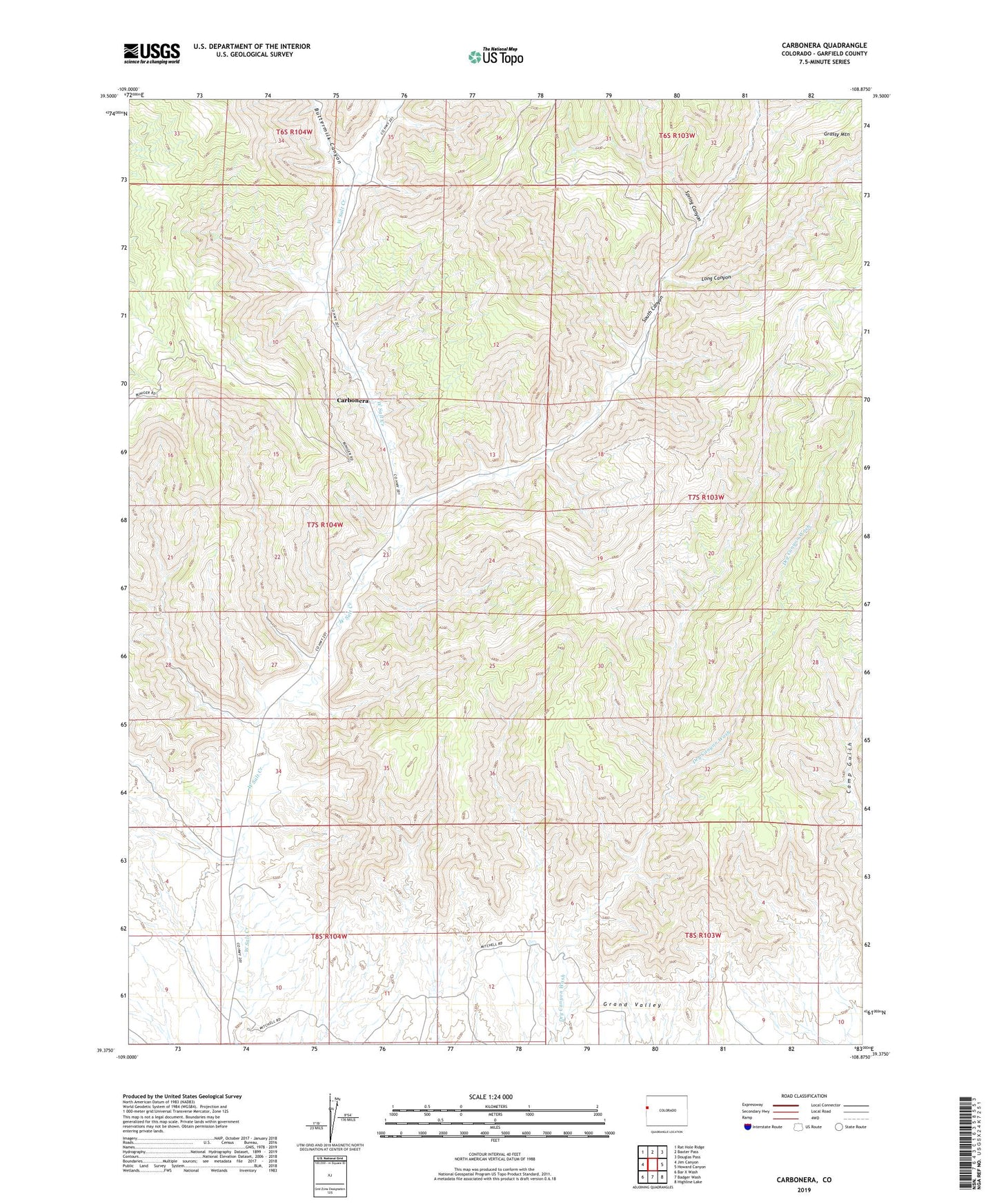
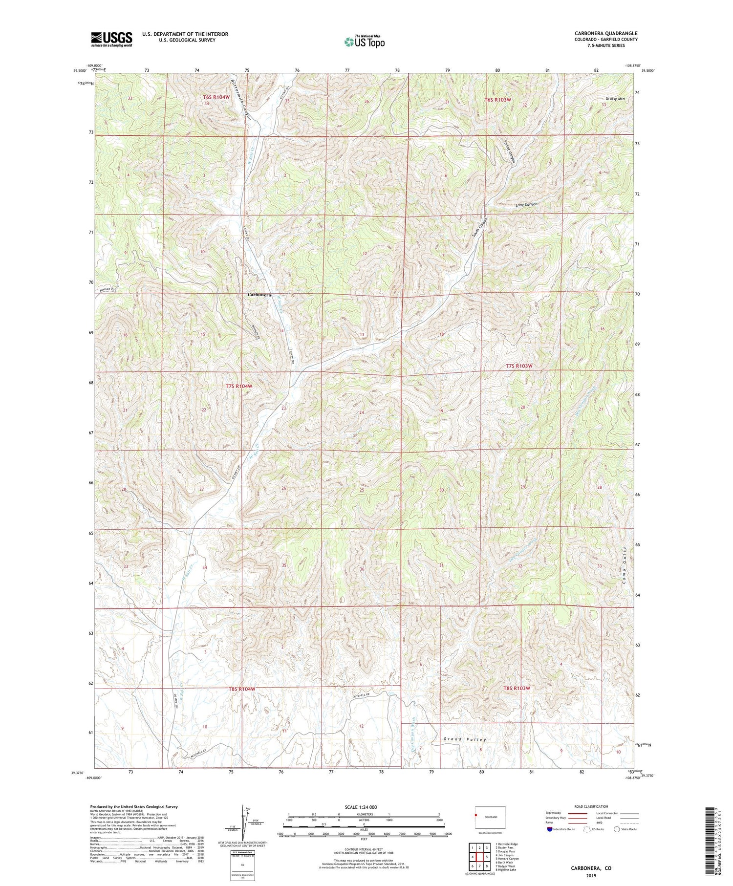
2022 topographic map quadrangle Carbonera in the state of Colorado. Scale: 1:24000. Based on the newly updated USGS 7.5' US Topo map series, this map is in the following counties: Garfield. The map contains contour data, water features, and other items you are used to seeing on USGS maps, but also has updated roads and other features. This is the next generation of topographic maps. Printed on high-quality waterproof paper with UV fade-resistant inks.
Quads adjacent to this one:
West: Jim Canyon
Northwest: Rat Hole Ridge
North: Baxter Pass
Northeast: Douglas Pass
East: Howard Canyon
Southeast: Highline Lake
South: Badger Wash
Southwest: Bar X Wash
This map covers the same area as the classic USGS quad with code o39108d8.
Contains the following named places: Buttermilk Canyon, Carbonera, Grassy Mountain, Long Canyon, South Canyon, Spring Canyon