MyTopo
Castle Rock North Colorado US Topo Map
Couldn't load pickup availability
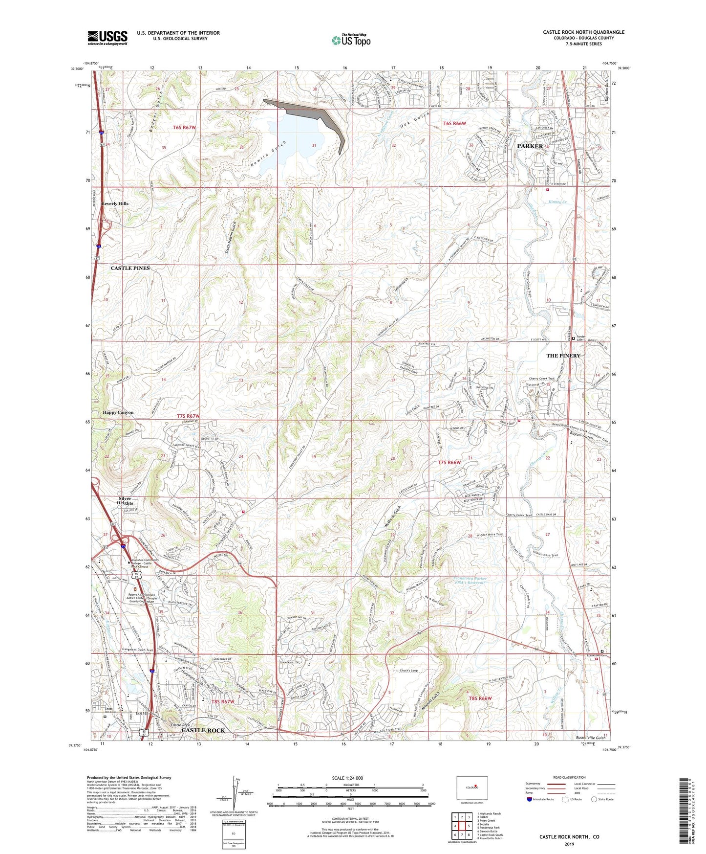
2022 topographic map quadrangle Castle Rock North in the state of Colorado. Scale: 1:24000. Based on the newly updated USGS 7.5' US Topo map series, this map is in the following counties: Douglas. The map contains contour data, water features, and other items you are used to seeing on USGS maps, but also has updated roads and other features. This is the next generation of topographic maps. Printed on high-quality waterproof paper with UV fade-resistant inks.
Quads adjacent to this one:
West: Sedalia
Northwest: Highlands Ranch
North: Parker
Northeast: Piney Creek
East: Ponderosa Park
Southeast: Russellville Gulch
South: Castle Rock South
Southwest: Dawson Butte
This map covers the same area as the classic USGS quad with code o39104d7.
Contains the following named places: Academy Charter School, Arapahoe Canal, Bayou Gulch, Castle Oaks, Castle Rock, Castle Rock Elementary School, Castle Rock Fire and Rescue Department Station 155, Castlewood Christian School, Castlewood North, Cedar Hill Cemetery, Christian Way School of Plum Creek, City of Castle Pines, Colorado State Patrol Castle Rock Troop Office 1C, Douglas County High School, Douglas County Medical Heliport, Douglas County Sheriff's Office, Douglas County Sheriff's Office - Civil, Douglas County Sheriff's Office - Crime, Douglas County Sheriff's Office - Records, Fonder Cemetery, Founders Village, Franktown, Franktown Cemetery, Franktown Fire Protection District Station 181, Franktown Fire Protection District Station 184, Franktown Parker FPM-1 Dam, Franktown Parker FPM-1 Reservoir, Franktown Pit, Gold Rush Elementary School, Hangmans Gulch, Happy Canyon, Happy Canyon Census Designated Place, Happy Canyon Ranches, Kinney Creek, KYBG-FM (Castle Rock), Legacy Point Elementary School, Lemon Gulch, Leonard Mine, McMurdo Gulch, Mitchell Gulch, Newlin Gulch Mine, Northeast Elementary School, Oak Gulch, Pikes Peak Grange, Ponderosa High School, Renaissance Elementary Magnet School, Richlawn Hills, Rock Park, Rueter-Hess Reservoir, Sage Canyon Elementary School, Scott Gulch, Silver Heights, Silver Heights Census Designated Place, South Metro Fire Rescue Authority Station 46, South Newlin Gulch, The Pinery Census Designated Place, Town of Castle Rock, Town of Parker, Trinity Lutheran School, Willow Creek, Woodlands Academy, ZIP Codes: 80108, 80134


