
MyTopo
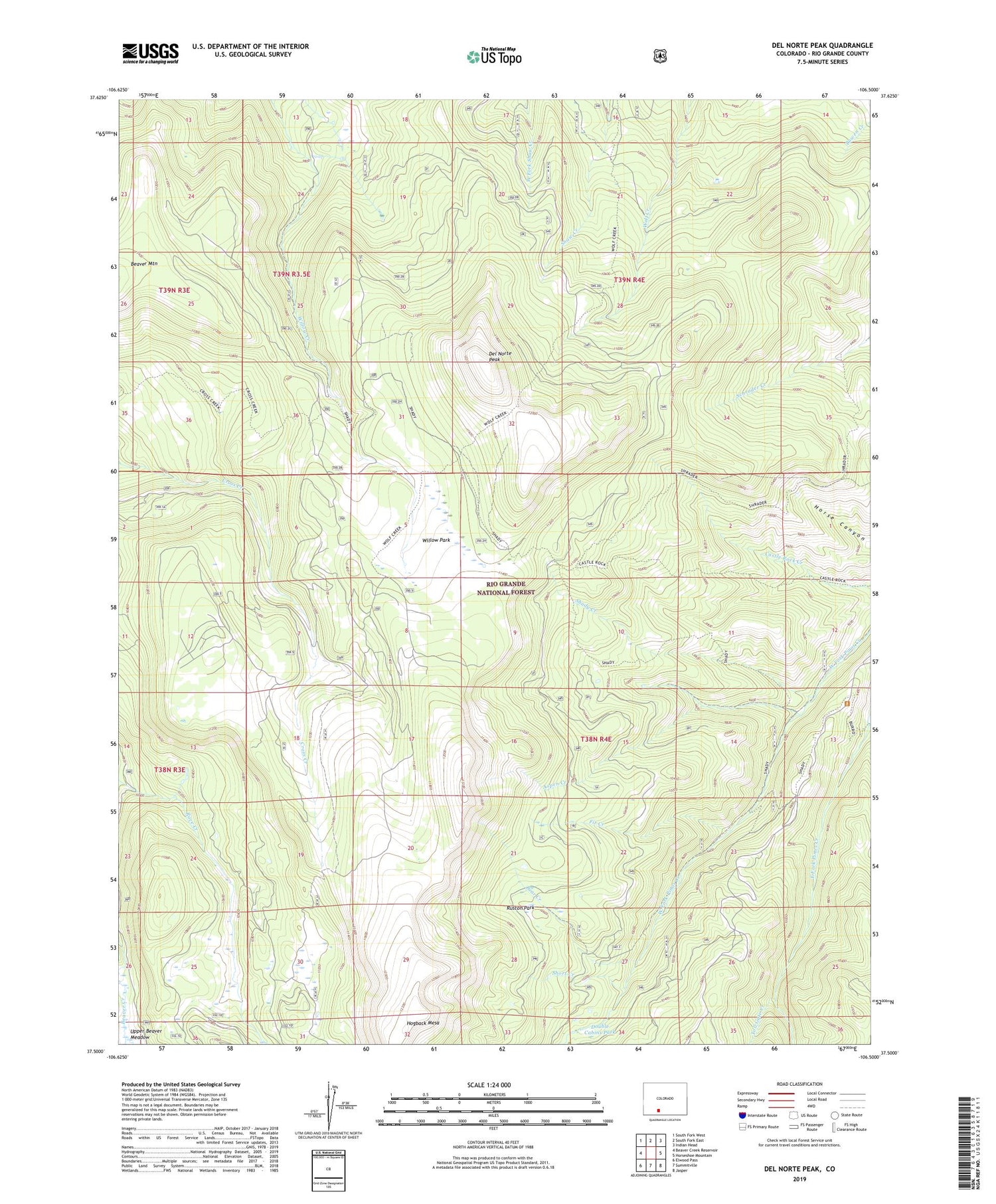
Del Norte Peak Colorado US Topo Map
Couldn't load pickup availability
Also explore the Del Norte Peak Forest Service Topo of this same quad for updated USFS data
2022 topographic map quadrangle Del Norte Peak in the state of Colorado. Scale: 1:24000. Based on the newly updated USGS 7.5' US Topo map series, this map is in the following counties: Rio Grande. The map contains contour data, water features, and other items you are used to seeing on USGS maps, but also has updated roads and other features. This is the next generation of topographic maps. Printed on high-quality waterproof paper with UV fade-resistant inks.
Quads adjacent to this one:
West: Beaver Creek Reservoir
Northwest: South Fork West
North: South Fork East
Northeast: Indian Head
East: Horseshoe Mountain
Southeast: Jasper
South: Summitville
Southwest: Elwood Pass
This map covers the same area as the classic USGS quad with code o37106e5.
Contains the following named places: Aspen Creek, Bear Creek, Burro Creek, Del Norte Peak, Double Cabins Park, Fir Creek, Hogback Mesa, Kreps Lake, Ruston Park, Shady Creek, Short Creek, Toll Gate Creek, Upper Beaver Meadow, Willow Park, Wolf Creek Stock Driveway, ZIP Code: 81154


