MyTopo
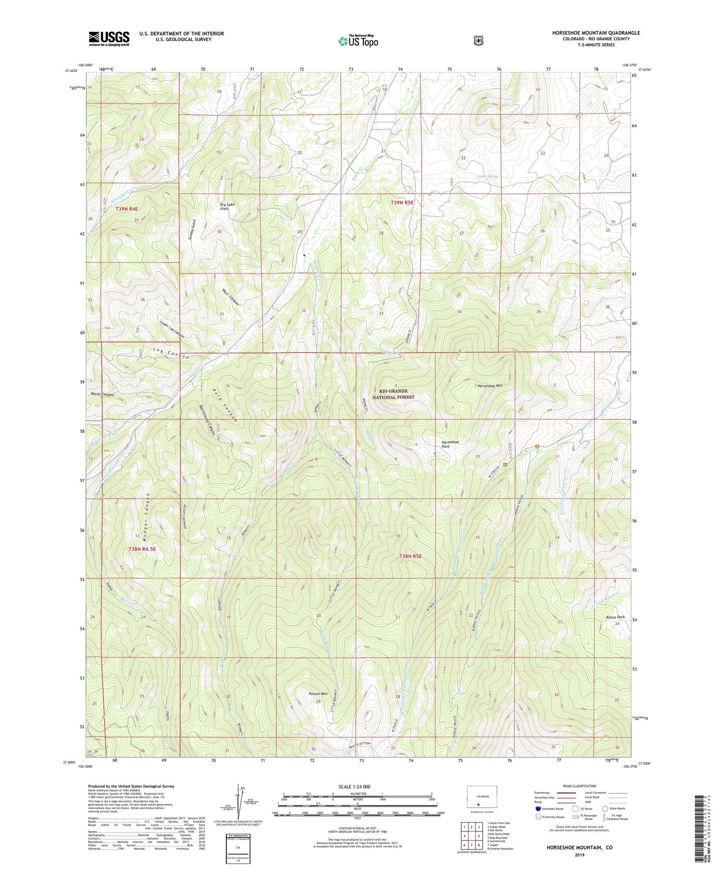
Horseshoe Mountain Colorado US Topo Map
Couldn't load pickup availability
Also explore the Horseshoe Mountain Forest Service Topo of this same quad for updated USFS data
2022 topographic map quadrangle Horseshoe Mountain in the state of Colorado. Scale: 1:24000. Based on the newly updated USGS 7.5' US Topo map series, this map is in the following counties: Rio Grande. The map contains contour data, water features, and other items you are used to seeing on USGS maps, but also has updated roads and other features. This is the next generation of topographic maps. Printed on high-quality waterproof paper with UV fade-resistant inks.
Quads adjacent to this one:
West: Del Norte Peak
Northwest: South Fork East
North: Indian Head
Northeast: Del Norte
East: Dog Mountain
Southeast: Greenie Mountain
South: Jasper
Southwest: Summitville
This map covers the same area as the classic USGS quad with code o37106e4.
Contains the following named places: Barriclause Canyon, Bennett Creek, Castle Rock Creek, Cedar Spring, Cherry Creek, Del Norte Division, Dry Lake Flats, East Fork Pinos Creek, East Fork San Francisco Creek, Horse Canyon, Horseshoe Mountain, Horseshoe Park, Little Bennett Creek, Log Canyon, Lower Log Canyon, Middle Fork San Francisco Creek, Milk Creek, Munger Canyon, Poison Mountain, Pole Canyon, Rio Grande County, Sunday Gulch, Warr Canyon, West Fork Pinos Creek, West Fork San Francisco Creek, Yarnell Ditch