
MyTopo
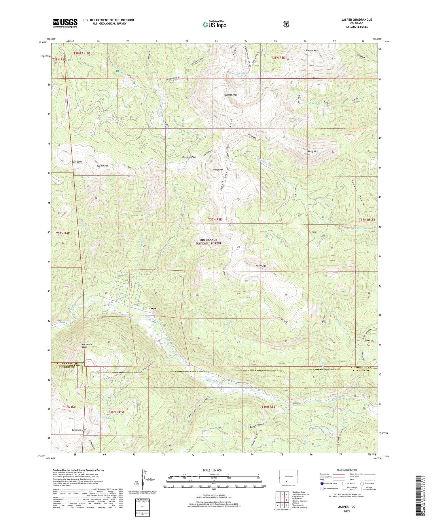
Jasper Colorado US Topo Map
Couldn't load pickup availability
Also explore the Jasper Forest Service Topo of this same quad for updated USFS data
2022 topographic map quadrangle Jasper in the state of Colorado. Scale: 1:24000. Based on the newly updated USGS 7.5' US Topo map series, this map is in the following counties: Rio Grande, Conejos. The map contains contour data, water features, and other items you are used to seeing on USGS maps, but also has updated roads and other features. This is the next generation of topographic maps. Printed on high-quality waterproof paper with UV fade-resistant inks.
Quads adjacent to this one:
West: Summitville
Northwest: Del Norte Peak
North: Horseshoe Mountain
Northeast: Dog Mountain
East: Greenie Mountain
Southeast: Terrace Reservoir
South: Red Mountain
Southwest: Platoro
This map covers the same area as the classic USGS quad with code o37106d4.
Contains the following named places: Alamosa Guard Station, Alamosa River Trail, Beaver Creek, Bennett Peak, Blowout Pass, Burnt Creek, California Gulch, Castleman Gulch, Cliff Lake, Cornwall Mountain, Cornwalls Nose, Dry Creek Stock Driveway, Elwood Guard Station, Fern Creek, Fitton Guard Station, French Creek, Guadalupe Claims Group Mine, Jasper, Jasper Creek, Jasper Mine, Joe Monn Creek, Lieutenant Creek, Marble Mountain, Pintada Mountain, Ranger Creek, Rhodes Gulch, Rough Canyon, San Francisco Lakes, Sheep Mountain, Silver Creek, Silver Falls, Silver Mountain, Spring Creek, Windy Mountain


