MyTopo
Denver International Airport Colorado US Topo Map
Couldn't load pickup availability
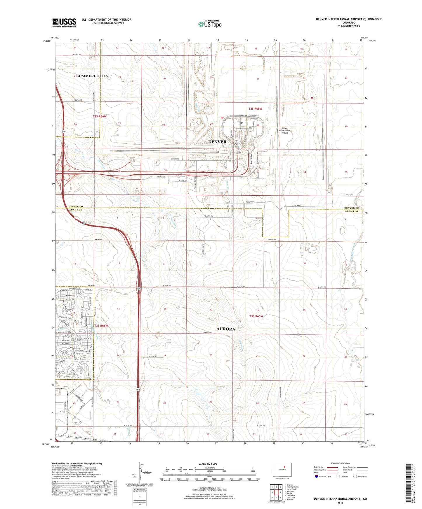
2022 topographic map quadrangle Denver International Airport in the state of Colorado. Scale: 1:24000. Based on the newly updated USGS 7.5' US Topo map series, this map is in the following counties: Adams, Denver. The map contains contour data, water features, and other items you are used to seeing on USGS maps, but also has updated roads and other features. This is the next generation of topographic maps. Printed on high-quality waterproof paper with UV fade-resistant inks.
Quads adjacent to this one:
West: Montbello
Northwest: Brighton
North: Mile High Lakes
Northeast: Horse Creek
East: Manila
Southeast: Watkins
South: Coal Creek
Southwest: Fitzsimons
This map covers the same area as the classic USGS quad with code o39104g6.
Contains the following named places: Box Elder School, Denver Fire Department Station 31 DIA Station 1, Denver Fire Department Station 33 DIA Station 3, Denver International Airport, First Creek School, Florida Pitt Waller School, Green Valley Ranch, North Aurora Division, Rocky Mountain Post Office, Scranton Mine, Sky Ranch Airport, Terminal Dam, Terminal Reservoir, Two Shafts Mine, US Customs and Border Protection Denver Port, ZIP Codes: 80019, 80249