MyTopo
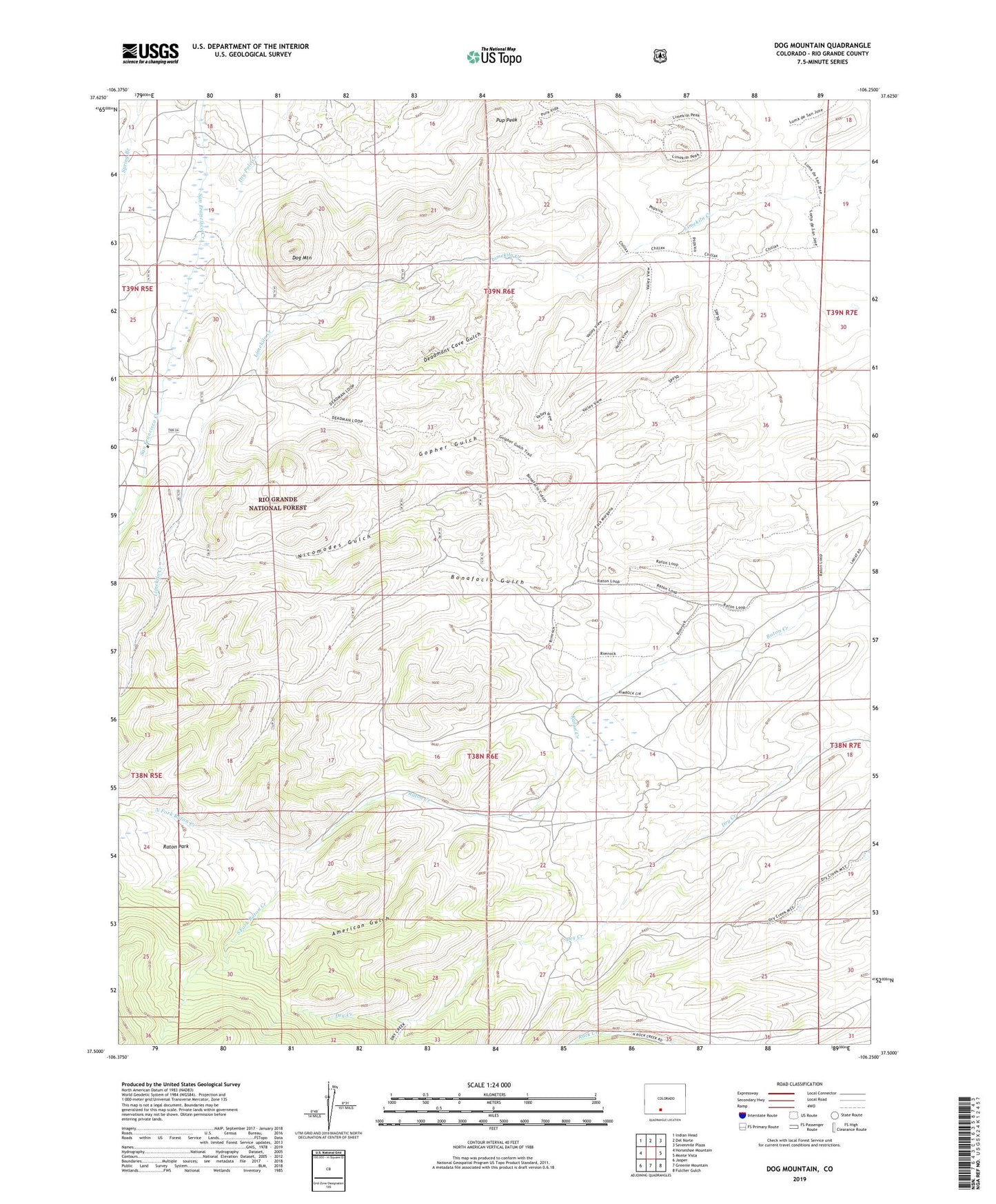
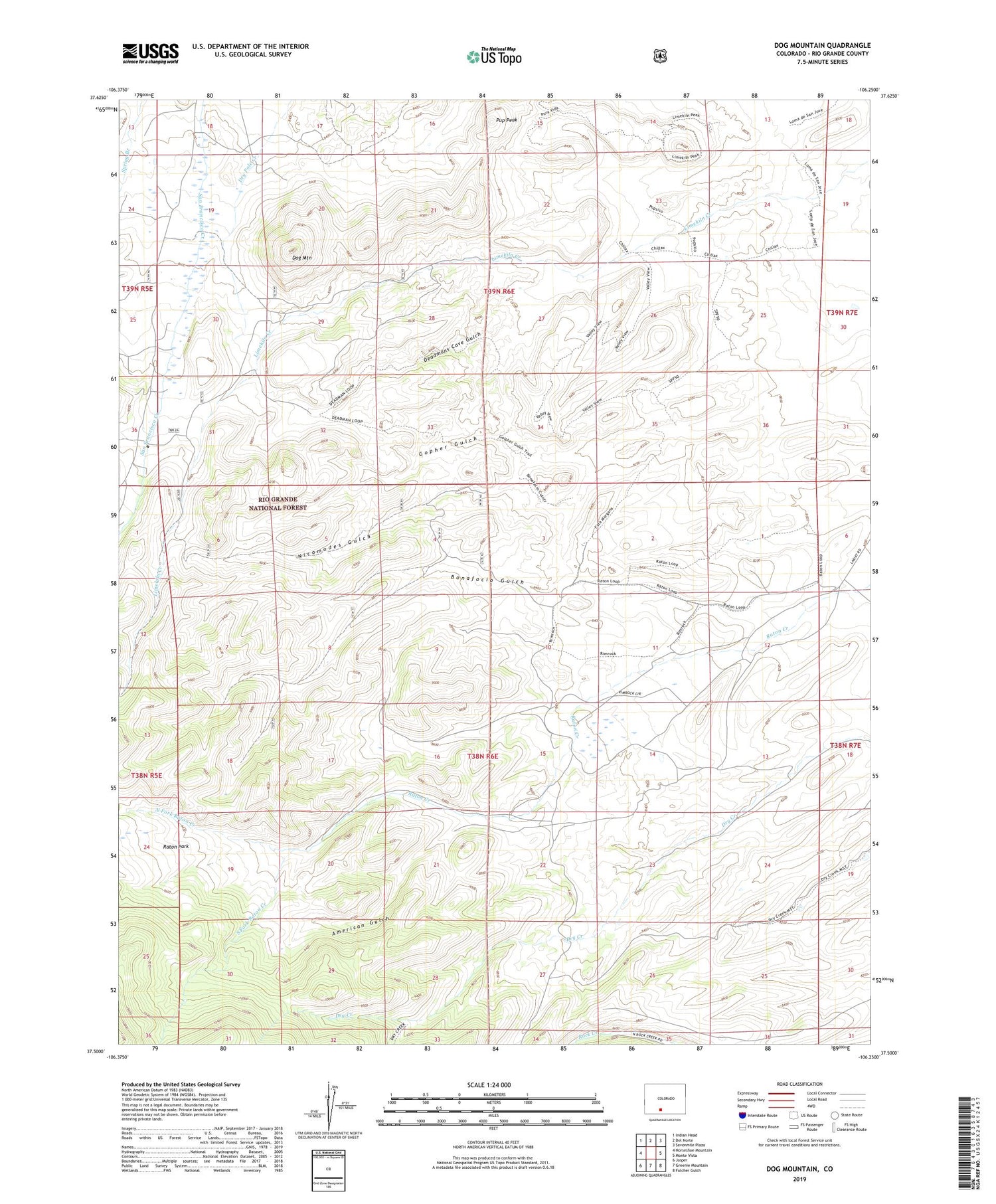
Dog Mountain Colorado US Topo Map
Couldn't load pickup availability
Also explore the Dog Mountain Forest Service Topo of this same quad for updated USFS data
2022 topographic map quadrangle Dog Mountain in the state of Colorado. Scale: 1:24000. Based on the newly updated USGS 7.5' US Topo map series, this map is in the following counties: Rio Grande. The map contains contour data, water features, and other items you are used to seeing on USGS maps, but also has updated roads and other features. This is the next generation of topographic maps. Printed on high-quality waterproof paper with UV fade-resistant inks.
Quads adjacent to this one:
West: Horseshoe Mountain
Northwest: Indian Head
North: Del Norte
Northeast: Sevenmile Plaza
East: Monte Vista
Southeast: Fulcher Gulch
South: Greenie Mountain
Southwest: Jasper
This map covers the same area as the classic USGS quad with code o37106e3.
Contains the following named places: American Gulch, Bonafacio Gulch, Deadmans Cave Gulch, Dog Mountain, Dry Creek Corral, Gopher Gulch, North Fork Raton Creek, Pup Peak, Raton Park, South Fork Raton Creek