MyTopo
Gillam Draw Colorado US Topo Map
Couldn't load pickup availability
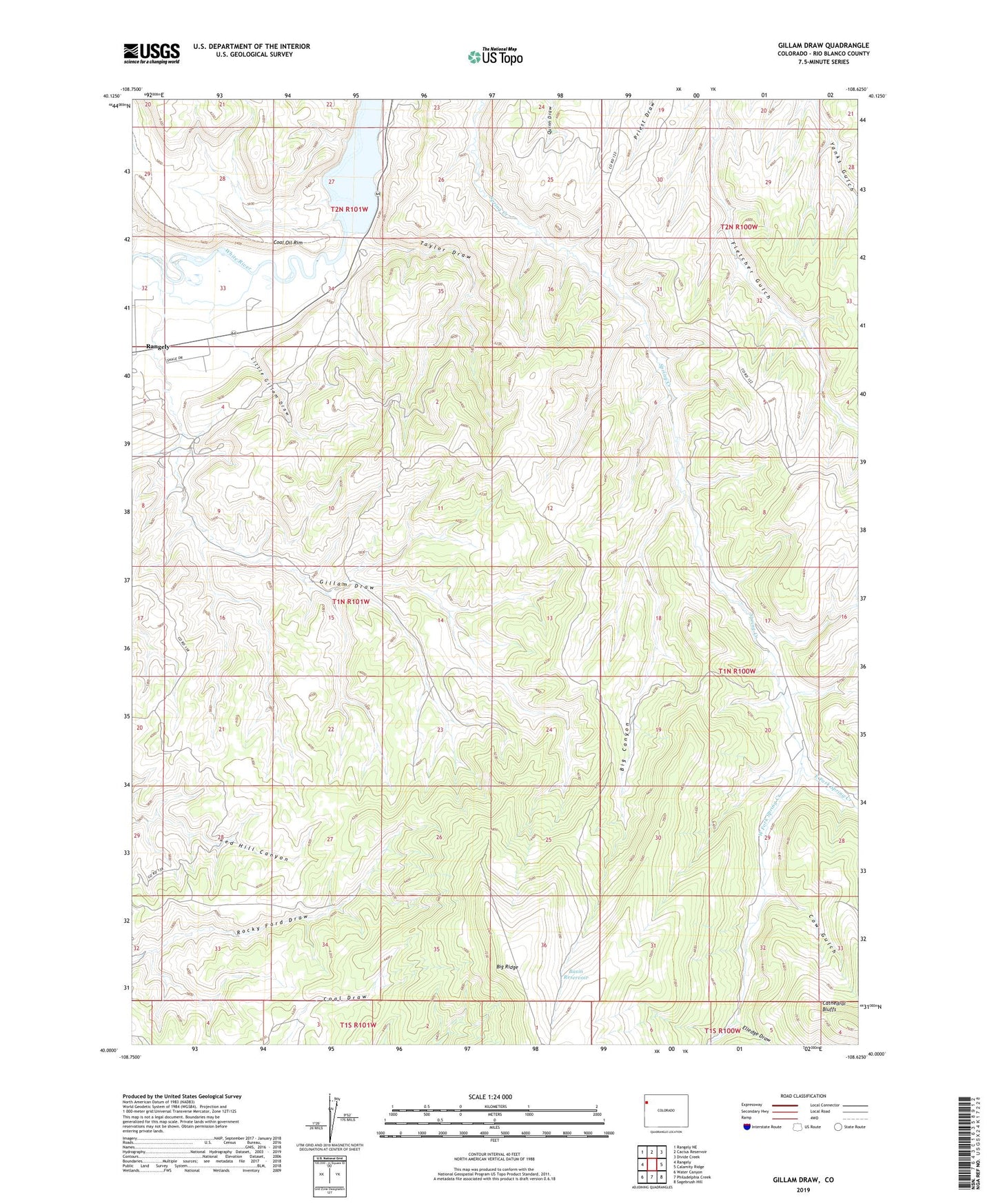
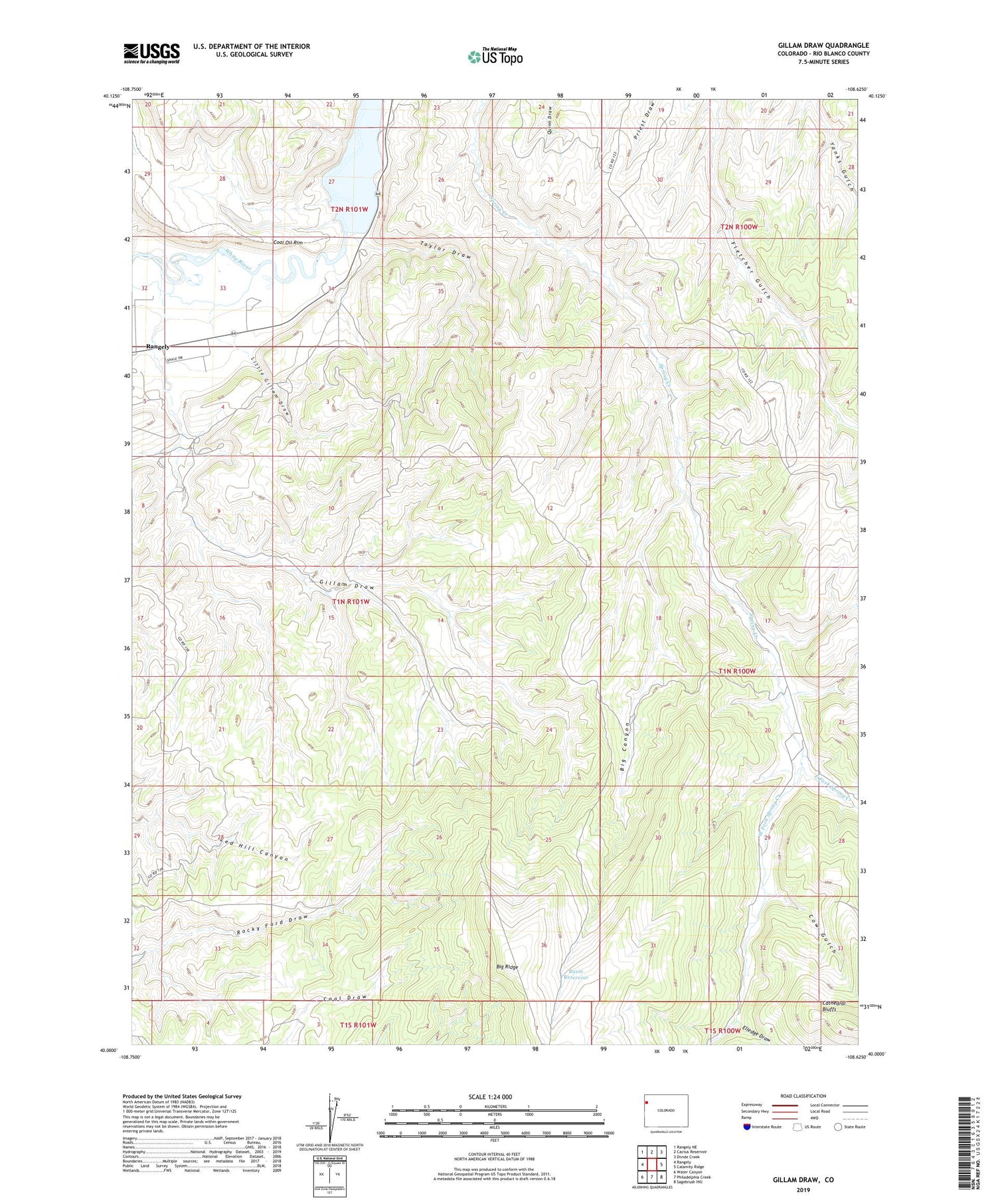
2022 topographic map quadrangle Gillam Draw in the state of Colorado. Scale: 1:24000. Based on the newly updated USGS 7.5' US Topo map series, this map is in the following counties: Rio Blanco. The map contains contour data, water features, and other items you are used to seeing on USGS maps, but also has updated roads and other features. This is the next generation of topographic maps. Printed on high-quality waterproof paper with UV fade-resistant inks.
Quads adjacent to this one:
West: Rangely
Northwest: Rangely NE
North: Cactus Reservoir
Northeast: Divide Creek
East: Calamity Ridge
Southeast: Sagebrush Hill
South: Philadelphia Creek
Southwest: Water Canyon
This map covers the same area as the classic USGS quad with code o40108a6.
Contains the following named places: Basin Reservoir, Big Canyon, Cow Gulch, East Fork Spring Creek, Elledge Draw, Gillam Draw, Hefley Mine, Kenney Reservoir, Little Gillam Draw, Taylor Draw, Taylor Draw Dam, West Fork Spring Creek