MyTopo
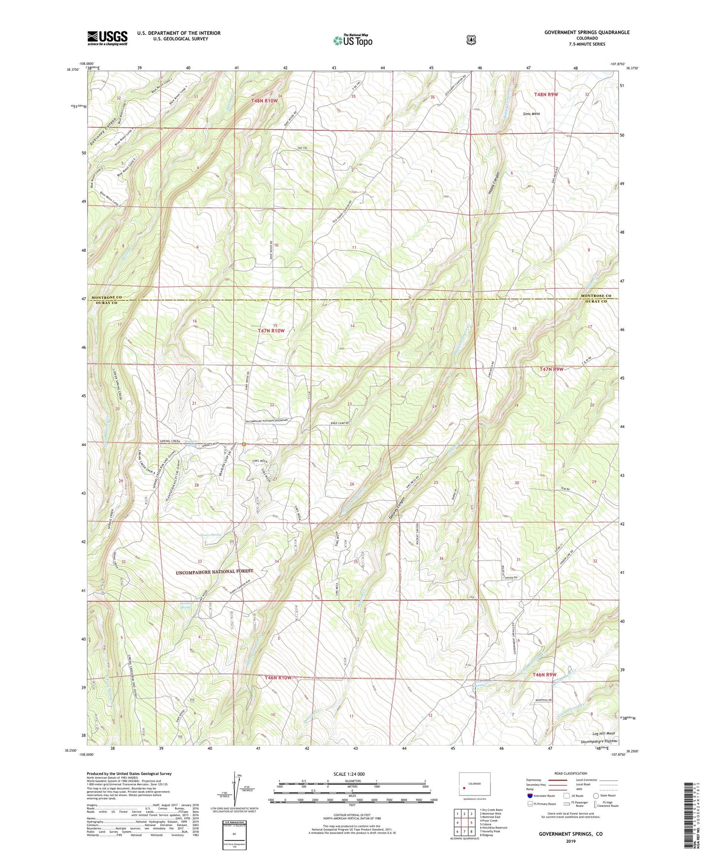
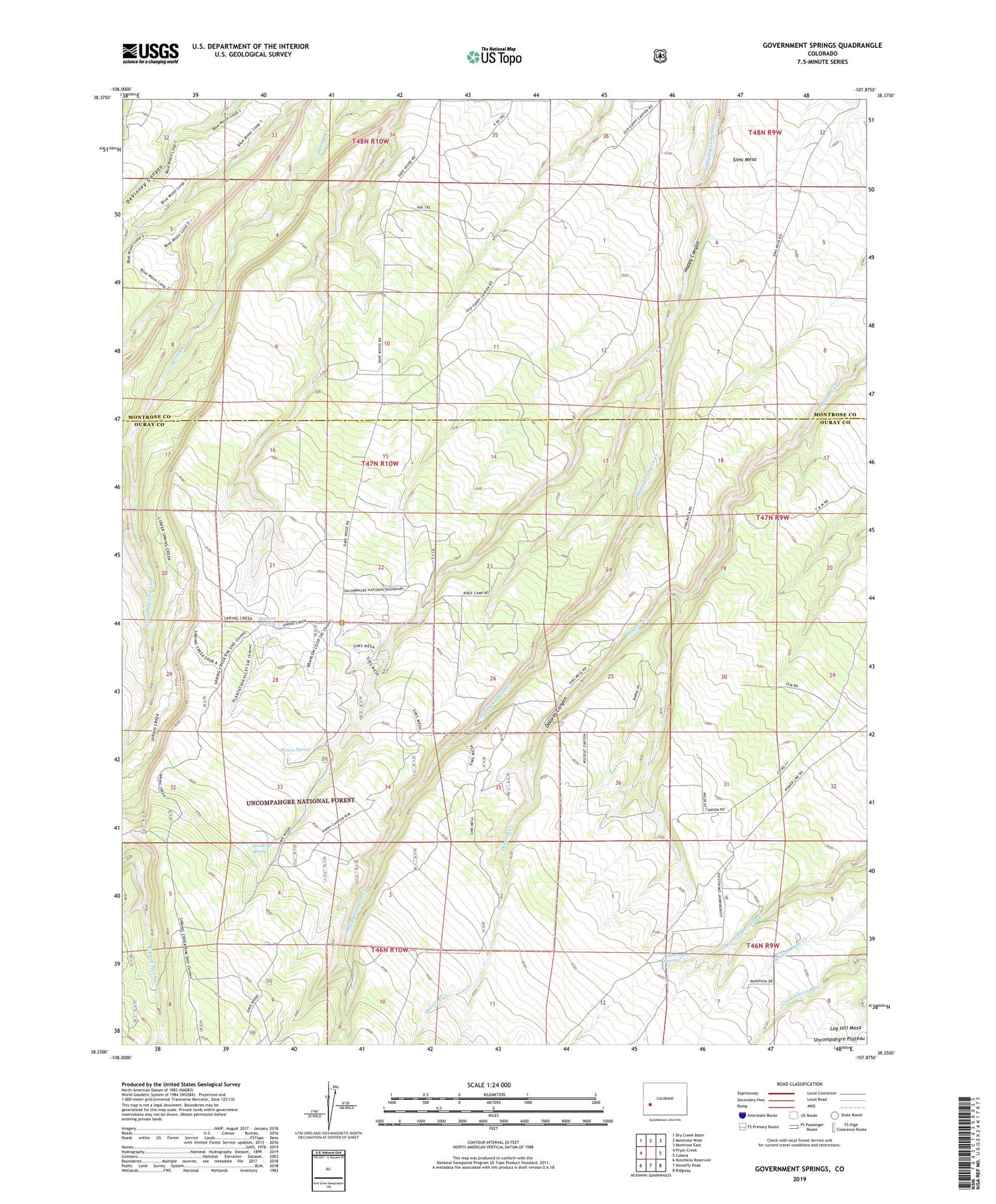
Government Springs Colorado US Topo Map
Couldn't load pickup availability
Also explore the Government Springs Forest Service Topo of this same quad for updated USFS data
2022 topographic map quadrangle Government Springs in the state of Colorado. Scale: 1:24000. Based on the newly updated USGS 7.5' US Topo map series, this map is in the following counties: Ouray, Montrose. The map contains contour data, water features, and other items you are used to seeing on USGS maps, but also has updated roads and other features. This is the next generation of topographic maps. Printed on high-quality waterproof paper with UV fade-resistant inks.
Quads adjacent to this one:
West: Pryor Creek
Northwest: Dry Creek Basin
North: Montrose West
Northeast: Montrose East
East: Colona
Southeast: Ridgway
South: Horsefly Peak
Southwest: Hotchkiss Reservoir
This map covers the same area as the classic USGS quad with code o38107c8.
Contains the following named places: Branson Spring, Brown Spring, Dewdrop Springs, East Fork Spring Creek, Government Springs, Middle Fork Spring Creek, Sims Mesa, ZIP Code: 81403