MyTopo
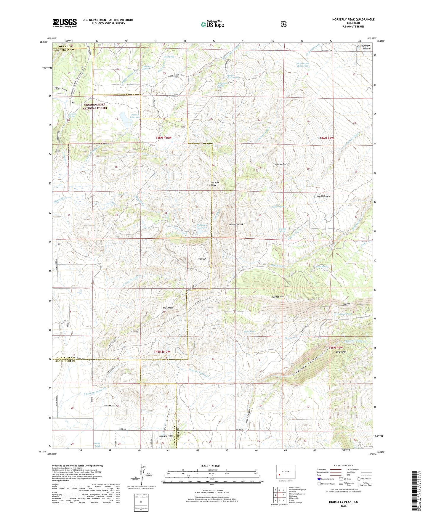
Horsefly Peak Colorado US Topo Map
Couldn't load pickup availability
Also explore the Horsefly Peak Forest Service Topo of this same quad for updated USFS data
2022 topographic map quadrangle Horsefly Peak in the state of Colorado. Scale: 1:24000. Based on the newly updated USGS 7.5' US Topo map series, this map is in the following counties: Ouray, Montrose, San Miguel. The map contains contour data, water features, and other items you are used to seeing on USGS maps, but also has updated roads and other features. This is the next generation of topographic maps. Printed on high-quality waterproof paper with UV fade-resistant inks.
Quads adjacent to this one:
West: Hotchkiss Reservoir
Northwest: Pryor Creek
North: Government Springs
Northeast: Colona
East: Ridgway
Southeast: Mount Sneffels
South: Sams
Southwest: Placerville
This map covers the same area as the classic USGS quad with code o38107b8.
Contains the following named places: Beach Canyon, Bears Den, Cottonwood Reservoir, Flat Top, Hally Tank, Hofmann Ranch, Hofmann Reservoir, Horse Pasture Reservoir, Horsefly Peak, Horsefly Ridge, Hot T Camp, Hull Ridge, Johnson Creek, Johnson Spring, Kem Spring, Liberty Bell Mines, Log Hill Mesa, Mexican Cabin Spring, Natural Pond, Palmer Spring, Paxton Dam, Paxton Reservoir, Phillips Camp, Pleasant Valley Canyon, Powerline Spring, Sagehen Ridge, Schmidt Spring, Smith Spring, Spring Pond, Spruce Mountain, Steel Tank Spring, West Pond